Other
Greatest Places: Namib
Explore the Namib Desert and learn about its location, the Skeleton Coast, mirages, and general information about this home to the highest sand dunes in the world.
John Wiley & Sons
Wiley: Physical Geography: Animation: Wave Refraction
A brief animation that demonstrates the impact of waves on headlands and on bays explaining how waves shape sea arches and beaches.
Curated OER
National Park Service: What Is Beringia?
This resource provides a brief explanation of Beringia, the geographical region surrounding the Bering Strait.
NSTATE
Netstate.com: The Geography of Arkansas
Quick facts about the geography of Arkansas including land area, highest and lowest points, elevations, lakes, rivers, regions, and climate.
Other
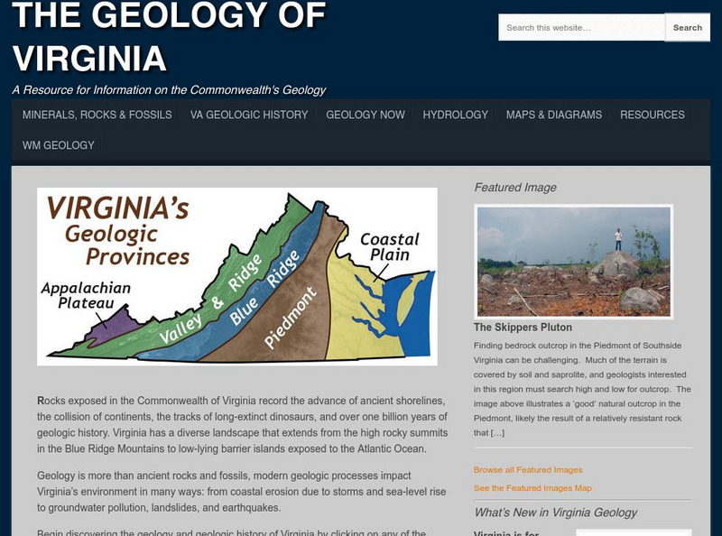
College of William and Mary: The Geology of Virginia
Information about the land forms of Virginia. Explore each region of the state and read about the ancient shorelines, active volcanoes, colliding continents, and dinosaur fossils.
Enchanted Learning
Enchanted Learning: Geography
At this site from Enchanted Learning, you can take a quiz, printout a map of the United States of America, and see where the Middle East is located in the world. Links are also provided for additional information.
Science Struck
Science Struck: How Mountains Are Formed
Read about the different types of mountains and how they are formed.
CK-12 Foundation
Ck 12: Second Grade Science: The Grand Canyon
[Free Registration/Login may be required to access all resource tools.] Discusses how the flow of water can cause great changes, such as creating the Grand Canyon.
Information Technology Associates
Geographic: Guatemala Geography
Site describes in point form the geography of Guatemala, giving land mass, major landforms, climate, terrain, and natural resources.
Ducksters
Ducksters: Earth Science for Kids: Topography
Kids learn about the Earth science subject of topography including features such as landforms, elevation, latitude, longitude, and topographical maps.
ClassFlow
Class Flow: Plate Tectonics Intro
[Free Registration/Login Required] This flipchart will take several class periods. This lesson begins to look at how the different landforms are created. There will be two follow up lessons - one on volcanoes and one on mountains.
ClassFlow
Class Flow: Geographical Skills
[Free Registration/Login Required] In this lesson students understand how physical processes (weathering, erosion, climates, soils, and landforms) shape earth's surface patterns and systems.
NASA
Nasa Star Child: The Planet Earth
Facts about the Earth including its orbit, its atmosphere, and its landforms. Includes a discussion question on seasons, with facts about them, and the answer. A linked page covers similar material in a "Level 2" version, and has a...
Science Struck
Science Struck: Understanding Deposition in Geology
Explains what is meant by the deposition of sediments by wind and water and provides examples of the resulting landforms.
Ducksters
Ducksters: Geography for Kids: Southeast Asia
Learn about Southeast Asian countries on this site. Find information about the flags, maps, exports, natural resources, geography, economy, landforms, islands, and languages of Southeast Asia.
Houghton Mifflin Harcourt
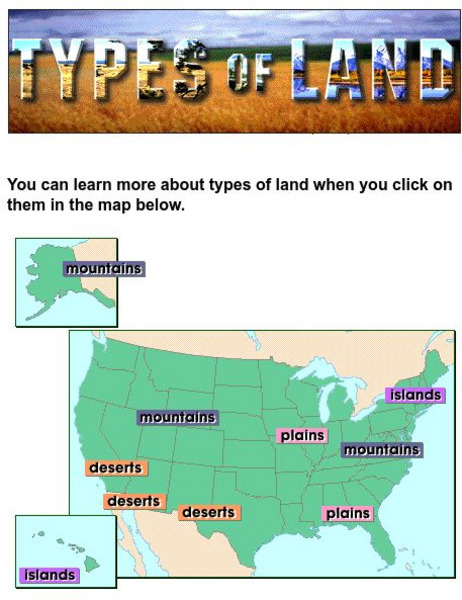
Harcourt: School Publishers: Types of Land
This clickable map of the United States defines different geographic features such as mountains, plains, islands, and deserts.
Science Education Resource Center at Carleton College
Serc: The Science of Puddles
Students will look at their schoolyard and determine where a puddle will form after a heavy rain. They will map the school yard and draw chalk lines to demonstrate their predictions. After a rain children will check their predictions and...
Science Education Resource Center at Carleton College
Serc: Global Land Vegetation
This Global Land Vegetation module is one of four Studying Earth's Environment from Space modules. It consists of three sections: class resources, computer lab resources, and a glossary and acronym List.
Science Education Resource Center at Carleton College
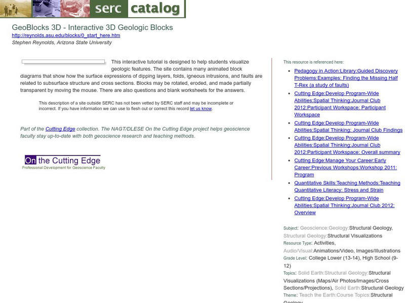
Serc: Geo Blocks 3 D Interactive 3 D Geologic Blocks
This interactive tutorial on visualizing geologic features contains animated block diagrams that show how the surface expressions of dipping layers, folds, igneous intrusions, and faults are related to subsurface structure and cross...
US Geological Survey
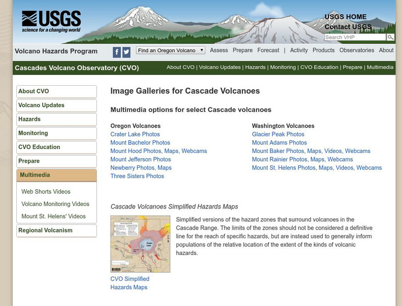
Usgs: Cascade Range Volcanoes
At this site from USGS you can view pictures and resources on the volcanoes located in the Cascade Mountain Range. Experience their beauty and splendor as you learn more about these volcanic mountains.
National Association of Geoscience Teachers
Serc: Mapping Potato Island
In this hands-on activity, students make a topographic map to describe the shape of a potato. They will gain an understanding of how contour lines are used to describe the shape of the land surface.
American Geosciences Institute
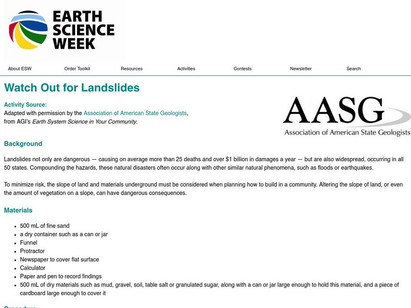
American Geosciences Institute: Earth Science Week: Watch Out for Landslides
Students investigate how particle size and shape relate to the maximum slope angle the particles will maintain during a landslide.
CK-12 Foundation
Ck 12: Earth Science: Map Projections
[Free Registration/Login may be required to access all resource tools.] How to use topographic, bathymetric, and geologic maps.
CK-12 Foundation
Ck 12: Earth Science: Maps
[Free Registration/Login may be required to access all resource tools.] How to use topographic, bathymetric, and geologic maps.
Other popular searches
- Landforms and Water Forms
- Canada Geography (Landforms)
- Earths Landforms
- Landforms Lesson Plans
- Landforms of Colombia
- Ocean Floor Landforms
- Definitions of Landforms
- Different Landforms
- Canada Geography Landforms
- Google Earth Landforms
- Geographic Landforms
- Landforms on Neptune


