Hi, what do you want to do?
Science Education Resource Center at Carleton College
Serc: State Map Poster
This is a project where students pick a state, study its landforms and data about its geology, and produce a poster that outlines how the state's geography evolved over time. An example of such a poster is provided on a downloadable...
PBS
Pbs Learning Media: Earth's Systems: Map It
Explore different types of maps and how different things are represented on maps in this media gallery from WGBH. Maps are used to help locate different places and different things. Map symbols are representations of larger things in the...
NASA
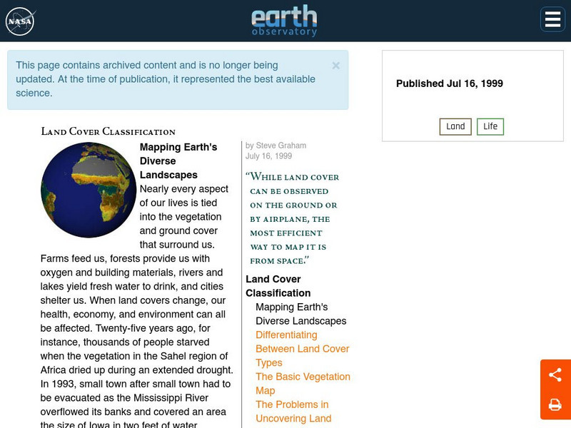
Nasa Earth Observatory: Land Cover Classification
Learn about the important resources our land offers us: food, water, oxygen, building materials, and more. Discover how scientists have been mapping land for years trying to prevent disasters and to collect environmental information.
Other
Harper College: North Africa/ Sw Asia Map Tutorial
Quiz yourself on the physical geography of Southwest Asia and North Africa by using this tutorial to Check your knowledge of landforms, bodies of water, and rivers in this area of the world.
Johns Hopkins University
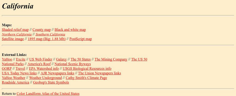
Johns Hopkins University: California Maps
At this site from the Johns Hopkins University Applied Physics Laboratory, you can learn more about the great state of California. Find out about the landforms that run through this vast state. There are several types of maps found at...
Science Education Resource Center at Carleton College
Serc: Mapping the Glaciers
In this activity, students will use Minnesota Geological Survey 3-D maps of the upper Midwest to trace the outlines of where they believe glaciers may have affected North America. They will identify landforms that resulted from glacial...
Science Education Resource Center at Carleton College
Serc: Mn Step: Student Created Landform Maps With Glacial Emphasis
An activity where students work together to make topographic maps of a local park. The map must include a key and the grid locations of landforms in the park.
Other
Okanagan University: Eolian Processes and Landforms
A wonderfully detailed introduction to the topic of wind erosion and landforms. Contains many illustrations and maps which show the concepts that are presented in the text.
University of Nebraska Omaha
University of Nebraska: Landforms
This resource provides information about the formation of the Grand Canyon to weathering processes is provided along with a link to photos of the Grand Canyon.
PBS
Pbs Learning Media: Earth's Systems Collection: Bringing the Universe to America's Classroom
Explore different landforms and bodies of water around the world, observe and map landforms and water features, and practice observation and analysis skills through a virtual landscape and animated adventure in Plum's Island Explorer....
PBS
Pbs Learning Media: Plum's Island Explorer: Land and Water
Navigate around the island to explore various landforms and water bodies in this interactive game from PLUM LANDING. Journey around the island and pick up trash to unlock information - including videos and ground-level and aerial images...
Houghton Mifflin Harcourt
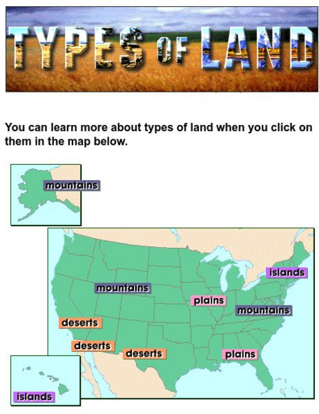
Harcourt: School Publishers: Types of Land
This clickable map of the United States defines different geographic features such as mountains, plains, islands, and deserts.
Other
Mcwdn: Maps & Globes: Landforms Mountains
Informative site about mountains. Look at the picture and read all about mountains, then take a quiz to show how much you know!
Other
Didactalia: Mapas Interactivos: Physical Relief of Mexico
Explore the map of Mexico and try to identify the types of landforms. Available in multiple languages.
Curated OER
Educational Technology Clearinghouse: Maps Etc: Landforms of Asia, 1904
An outline map from 1904 of Asia showing mountain systems, plateau, plains, major lakes, rivers, coastal features, and seas of the region. This map is used as a key map for locating landform features on a traditional relief map, where...
Curated OER
Educational Technology Clearinghouse: Maps Etc: Landforms of Australia, 1885
A color relief map of Australia showing the mountain and highland systems of Australia, including the Australian Alps, and the central lowlands. This map also shows the Murray River and other major rivers and lakes.
Curated OER
Educational Technology Clearinghouse: Maps Etc: Landforms of Africa, 1904
A map from 1904 of Africa and Madagascar showing the principal mountain, lake, and river systems. Mountain chains are shown with heavy black lines.
Curated OER
Etc: Maps Etc: European Possessions of Africa, 1906
A map of Africa after the Berlin Conference of 1885, which established the European colonial territory claims on the continent. This map shows the Belgian, British, French, German, Italian, Portuguese, and Spanish claims, and the Turkish...
Curated OER
Etc: Maps Etc: Post Wwi Central and Southern Africa, 1920
A map of central and southern Africa in 1920 showing colonial possessions of the British, French, Italian, Portuguese, Spanish, and Belgians, including the former German colonies, lost after WWI, to French and British control per the...
Curated OER
Educational Technology Clearinghouse: Maps Etc: Australia and New Zealand, 1916
A physical and political map of Australia and New Zealand in 1916 showing the states, territories, and divisions of Australia, including the commonwealth claims to southeastern New Guinea. This map also shows color-coded elevations from...
Curated OER
Educational Technology Clearinghouse: Maps Etc: Post Wwi Africa, 1920
A map of Africa in 1920 showing colonial possessions of the British, French, Italian, Portuguese, Spanish, and Belgians, including the former German colonies, lost after WWI, per the Treaty of Versailles. This map shows major cities and...
Curated OER
Educational Technology Clearinghouse: Maps Etc: Post Wwi Northern Africa, 1920
A political map of the northern part of the African continent after WWI with reference to territories controlled by European countries and showing the former German territories ceded by the Treaty of Versailles to France and Britain....
Curated OER
Etc: Maps Etc: Post Wwi Central and Southern Africa, 1920
A map of central and southern Africa in 1920 showing colonial possessions of the British, French, Italian, Portuguese, Spanish, and Belgians, including the former German colonies, lost after WWI, to French and British control per the...
Other popular searches
- North America Landforms Maps
- United States Landforms Maps
- Science Landforms Maps
- Creating Maps of Landforms
- Science Landforms Maps Nc
- Maps Canada Landforms


