Hi, what do you want to do?
Curated OER
Landforms
Illustrated article describing how landforms are formed. Topics include tectonic forces, gradational forces, and age of the earth. There is a quiz at the end to test your comprehension.
Curated OER
Landforms
Illustrated article describing how landforms are formed. Topics include tectonic forces, gradational forces, and age of the earth. There is a quiz at the end to test your comprehension.
Curated OER
Landforms
Illustrated article describing how landforms are formed. Topics include tectonic forces, gradational forces, and age of the earth. There is a quiz at the end to test your comprehension.
Geographyiq
Geography Iq
Detailed geographical information on any country is available at this site. Within the World Map section, you can get facts and figures about each country's geography, demographics, government, political system, flags, historical and...
Johns Hopkins University
Johns Hopkins University: Arkansas State Maps
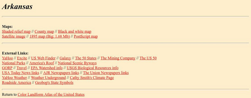
Learn more about the Arkansas' geography through the maps at this website from the Johns Hopkins University Applied Physics Laboratory. These maps give in depth information on the landforms found in Arkansas.
Johns Hopkins University
Johns Hopkins University: Arkansas State Maps
Learn more about the Arkansas' geography through the maps at this website from the Johns Hopkins University Applied Physics Laboratory. These maps give in depth information on the landforms found in Arkansas.
Johns Hopkins University
The Johns Hopkins University: West Virginia State Maps
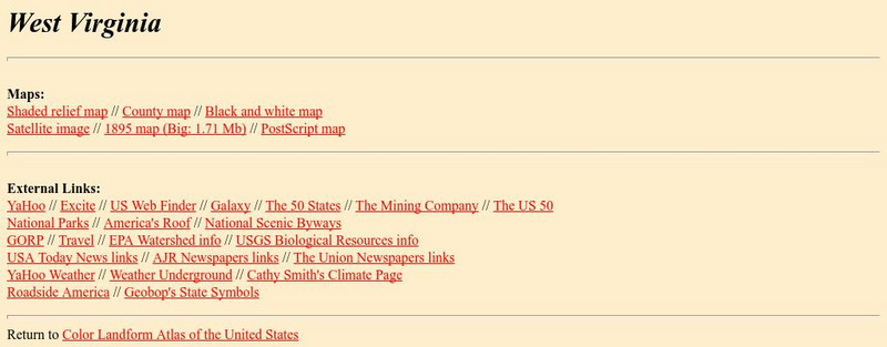
This site from The Johns Hopkins University Applied Physics Laboratory contains a black and white map, a county map, a satellite image map, a shaded relief map. Check out West Virginia's landforms.
Johns Hopkins University
The Johns Hopkins University: Colorado State Maps
At this site from The Johns Hopkins University Applied Physics Laboratory, you can look for Colorado landmarks and landforms at this site. You will find several different types of maps at this site. Look for black and white maps and...
Science Education Resource Center at Carleton College
Serc: Sandbox Modeling
Learners create landforms using layers of colored sand, then construct a topographic map and a cross-section. This is an investigation that was presented to pre-service science teachers. The format would be similar with students, with...
Johns Hopkins University
The Johns Hopkins University: Delaware State Maps
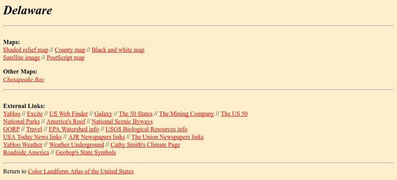
At this site from The Johns Hopkins University Applied Physics Laboratory, you can learn more about the landforms and other geographical features of the state of Delaware. Check out the different map types at this website.
Johns Hopkins University
The Johns Hopkins University: Florida State Maps
Use this site from The Johns Hopkins University Applied Physics Laboratory to find out more about Florida's landforms. This website contains several different maps highlighting different geographical features of Florida.
Johns Hopkins University
The Johns Hopkins University: Hawaii State Maps
At this site from The Johns Hopkins University Applied Physics Laboratory, you can learn more about the island state in the Pacific Ocean. Hawaii has several interesting landforms. Find out more about Hawaii by checking out this website.
The British Museum
The British Museum: China: Geography
Explore the geography of China and its landforms with an interactive map and game for students to play. Find out more about the importance of the Yellow River in an ancient Chinese myth.
Enchanted Learning
Enchanted Learning: Geography
At this site from Enchanted Learning, you can take a quiz, printout a map of the United States of America, and see where the Middle East is located in the world. Links are also provided for additional information.
TeachEngineering
Teach Engineering: Sea to Sky
For this lesson, students learn about major landforms (e.g., mountains, rivers, plains, valleys, canyons and plateaus) and how they occur on the Earth's surface. They learn about the civil and geotechnical engineering applications of...
Science Education Resource Center at Carleton College
Serc: The Science of Puddles
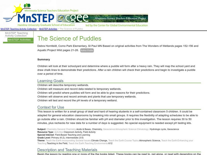
Students will look at their schoolyard and determine where a puddle will form after a heavy rain. They will map the school yard and draw chalk lines to demonstrate their predictions. After a rain children will check their predictions and...
Ducksters
Ducksters: Earth Science for Kids: Topography
Kids learn about the Earth science subject of topography including features such as landforms, elevation, latitude, longitude, and topographical maps.
Ducksters
Ducksters: Geography for Kids: Southeast Asia
Learn about Southeast Asian countries on this site. Find information about the flags, maps, exports, natural resources, geography, economy, landforms, islands, and languages of Southeast Asia.
Curated OER
Okanagan University: Eolian Processes and Landforms
A wonderfully detailed introduction to the topic of wind erosion and landforms. Contains many illustrations and maps which show the concepts that are presented in the text.
Other
Maps & Globes: Other Land Forms
A very simple overview of various land forms and their characteristics: peninsula, cape, isthmus, valley, canyon, cliff, and swamp.
Enchanted Learning
Enchanted Learning: The Continents
Brightly colored printouts, maps, and graphics on the greatest land masses on earth. See how continental drift works, look up extremes, label maps, learn about latitude, longitude and other geography terms. Teachers will find a Landforms...
Science Education Resource Center at Carleton College
Serc: Investigating the Geologic History of Southeast Minnesota
This activity is an inquiry-based, earth science field investigation of the geology of southeast Minnesota. Students will make observations of rock outcrops and landforms in the region using maps, pictures, and field sampling, then use...
NOAA
Noaa: Estuaries 101 Curriculum: Where Rivers Meet the Sea
A complete learning module where students watch an introductory video, take an estuary quiz, learn about landforms related to the environment, and use maps and real-time data to study estuary ecosystems in the United States.
Enchanted Learning
Enchanted Learning: Australia: Geography, States and Territories, Population
Facts about Australia's geography, including population, government and economy, largest cities, and landmarks such as the Great Barrier Reef and more.
Other popular searches
- North America Landforms Maps
- United States Landforms Maps
- Science Landforms Maps
- Creating Maps of Landforms
- Science Landforms Maps Nc
- Maps Canada Landforms


