Social Studies for Kids
Social Studies for Kids: Latitude and Longitude
A collection of latitude and longitude mapping activities ranging from pin-pointing exact locations on the globe to researching the history behind this basic geography concept.
SMART Technologies
Smart: Latitude and Longitude
Try to locate famous landmarks using latitude and longitude coordinates in this interactive classroom activity.
City University of New York
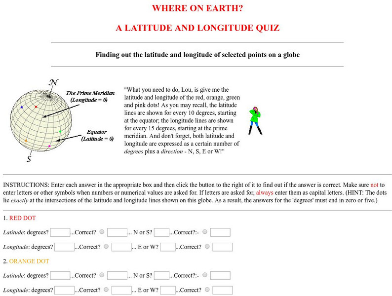
Virtual Geology: Where on Earth: A Latitude and Longitude Quiz
This quiz starts with select points on a globe. Students must determine the latitude, longitude, and direction for each point.
wikiHow
Wiki How: How to Get Longitude and Latitude From Google Maps
This article will teach you how to get longitude and latitude for any given location using Google Maps.
ABCya
Ab Cya: Latitude and Longitude Treasure Hunt
Use the longitude and latitude clues to find the treasures on the map. The more treasures you find the more challenging it will be to find them.
NASA
Nasa: Latitude and Longitude
This site from NASA provides definitions of latitude and longitude with good graphics.
PBS
Pbs Nova: Find Your Longitude
Lost at sea with only your sextant? Use your knowledge of longitude to find your place. The non-shockwave interactive activity makes the concept of longitude concrete.
Pamela Seed
The Art and Science of Fifteenth Century Navigation: Latitude
Chronicle of the changes that occurred in various areas when latitude was identified in 1516. Site includes links to the changes in maps, compass roses, and the science of sailing.
Annenberg Foundation
Annenberg Learner: Journey North: Judy Brophy: The World's Biggest Address Book
Great slideshow to learn about latitude and longitude. There are many great discussion questions as well as maps to enhance your learning.
E-learning for Kids
E Learning for Kids: Math: Dance Performance: Position on a Map
This interactive website allows students to practice their map skills including scale factors on a map.
SMART Technologies
Smart: Final Project Map Skills
This lessons explores the different ways we can view our world along with the different parts of a map or globe.
University of Texas at Austin
Ut Library: Perry Castaneda Maps of West Virginia
A collection of West Virginia maps, including city maps and maps of national parks, monuments, and historic sites.
Science Education Resource Center at Carleton College
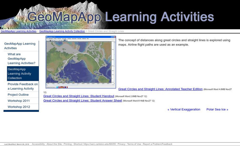
Serc: Great Circles and Straight Lines
Using maps, students explore the concept of distances along great circles and straight lines. Airline flight paths are used as an example.
Other
Physical Geography: Glossary of Terms
Teachers who are looking for a complete course study in physical geography need this site. It is very well organized and colorfully designed. It contains an online glossary, study guides, links, clip art, maps etc.
University of Georgia
University of Georgia: Map of Southern States of America 1795
A large and detailed map of the southern U.S. States and territories to the immediate west. Indicates rivers, the Appalachian Mountains and latitude and longitude.
PBS
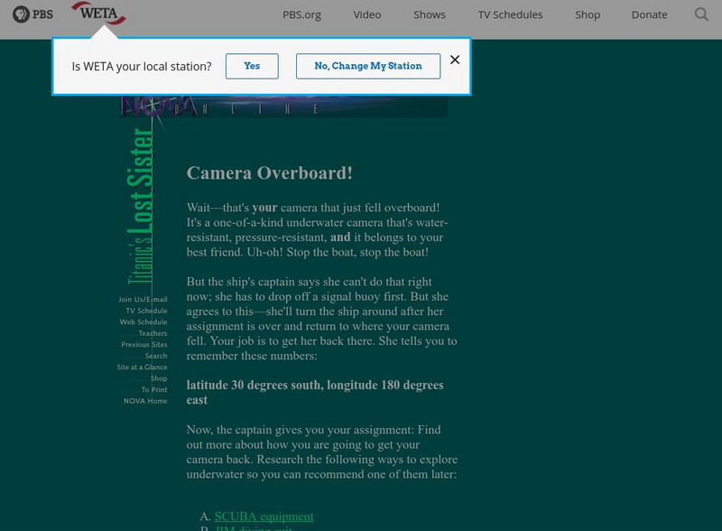
Pbs Teachers: Titanic's Lost Sister: Camera Overboard!
Learn about different diving equipment in order to determine which would be most useful in recovering a sunken object and exploring underwater. Find a location on a globe or map using latitude and longitude coordinates.
Curated OER
Educational Technology Clearinghouse: Maps Etc: American Population, 1790
A map of the original thirteen States in 1790 showing the distribution of the European-American population at the time and the general tribal lands of the Native Americans east of the Mississippi River. The map shows the State lines,...
Curated OER
Educational Technology Clearinghouse: Maps Etc: Province of Quebec, 1920
A map from 1920 of the province of Quebec from the St. Lawrence River to Hudson Bay and the Hudson Strait. The map shows the Dominion capital of Ottawa, Province capital of Quebec City, major cities and towns, existing and proposed...
Curated OER
Educational Technology Clearinghouse: Maps Etc: Ontario (Northern Part), 1920
A map from 1920 of the northern part of the province of Ontario. The map shows the capital of Ottawa, major cities and towns, existing and proposed railways, county boundaries, forest reserve boundaries, national park boundaries, Indian...
Curated OER
Educational Technology Clearinghouse: Maps Etc: Ontario (Southern Part), 1920
A map from 1920 of the southern part of the province of Ontario. The map shows the capital of Ottawa, provincial capital of Toronto, major cities and towns, existing and proposed railways, county boundaries, forest reserve boundaries,...
Johns Hopkins University
Johns Hopkins University: Alabama State Maps
Check out this site from the Johns Hopkins University Applied Physics Laboratory for several different types of maps for the state of Alabama. You can find everything from a county map to a shaded relief map. If you are looking for map...
Johns Hopkins University
Johns Hopkins University: Arkansas State Maps
Learn more about the Arkansas' geography through the maps at this website from the Johns Hopkins University Applied Physics Laboratory. These maps give in depth information on the landforms found in Arkansas.
Johns Hopkins University
Johns Hopkins University: Arkansas State Maps
Learn more about the Arkansas' geography through the maps at this website from the Johns Hopkins University Applied Physics Laboratory. These maps give in depth information on the landforms found in Arkansas.
Other popular searches
- Maps Latitude and Longitude
- Maps, Longitude and Latitude
- Longitude & Latitude Maps
- Longitude Latitude Maps
- Maps, Longitude Latitude
- Maps, Latitude/longitude


