Hi, what do you want to do?
PBS
Pbs Nova: Find Your Longitude
Lost at sea with only your sextant? Use your knowledge of longitude to find your place. The non-shockwave interactive activity makes the concept of longitude concrete.
Science Education Resource Center at Carleton College
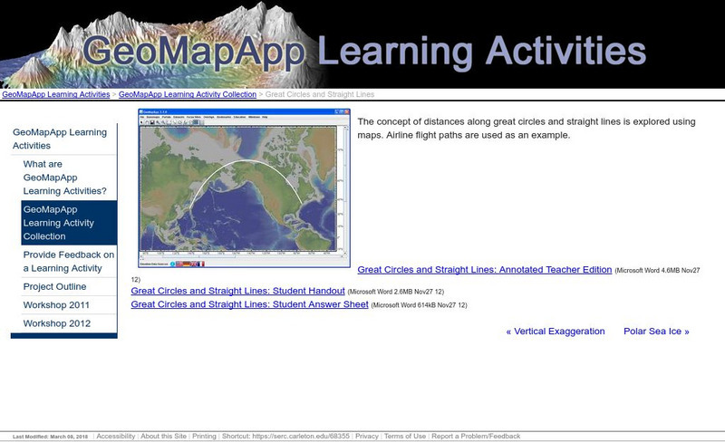
Serc: Great Circles and Straight Lines
Using maps, young scholars explore the concept of distances along great circles and straight lines. Airline flight paths are used as an example.
Pamela Seed
The Art and Science of Fifteenth Century Navigation: Latitude
Chronicle of the changes that occurred in various areas when latitude was identified in 1516. Site includes links to the changes in maps, compass roses, and the science of sailing.
Other
Boat Safe Kids: Longitude and Latitude
This website starts at the very beginning and explains how round globes are transferred to flat maps. Then they explain the use of longitude and latitude.
Geographyiq
Geography Iq
Detailed geographical information on any country is available at this site. Within the World Map section, you can get facts and figures about each country's geography, demographics, government, political system, flags, historical and...
Annenberg Foundation
Annenberg Learner: Journey North: Judy Brophy: The World's Biggest Address Book
Great slideshow to learn about latitude and longitude. There are many great discussion questions as well as maps to enhance your learning.
NOAA
Noaa: Follow That Hurricane [Pdf]
Utilize data from historical hurricanes and a map of areas around the Atlantic Ocean to plot the paths of these potentially devastating storms.
Harvard University
Harvard University: Maps and Mapping
This site is provided for by Harvard University. Students follow a map on a scavenger hunt, create a map of their classroom and their town, learn how to read topographic maps, and discover latitude and longitude in these inquiry activities.
City University of New York
Earth and Environmental Sciences: Treasure Hunt
Looking for enrichment? Here's an online treasure hunt requiring skill with directions, distance, contour maps, latitude, and longitude. Also supplementing the activity are interactive quizzes on latitude, longitude, and other related...
SMART Technologies
Smart: Final Project Map Skills
This lessons explores the different ways we can view our world along with the different parts of a map or globe.
Other
Physical Geography: Glossary of Terms
Teachers who are looking for a complete course study in physical geography need this site. It is very well organized and colorfully designed. It contains an online glossary, study guides, links, clip art, maps etc.
TeachEngineering
Teach Engineering: Assessing the Situation
In this activity, students will use the scale, the key, and longitude and latitude on a map to determine where they have crashed. They will then use the map scale to determine the distance to the nearest city and how long it will take...
TeachEngineering
Teach Engineering: Air Pollution in the Pacific Northwest
Students are introduced to measuring and identifying sources of air pollution, as well as how environmental engineers try to control and limit the amount of air pollution. In Part 1, students are introduced to nitrogen dioxide as an air...
University of Georgia
University of Georgia: Map of Southern States of America 1795
A large and detailed map of the southern U.S. States and territories to the immediate west. Indicates rivers, the Appalachian Mountains and latitude and longitude.
University of Texas at Austin
Ut Library: Perry Castaneda Maps of West Virginia
A collection of West Virginia maps, including city maps and maps of national parks, monuments, and historic sites.
Enchanted Learning
Enchanted Learning: Types of Maps
Enchanted Learning provides an easy-to-understand explanation of projections. Site also provides a graph of related terms such as conic projection, cylindrical projection, Mercator projection, and more.
TeachEngineering
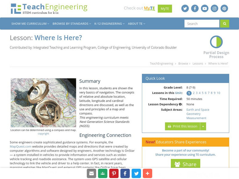
Teach Engineering: Where Is Here?
For this lesson, students are shown the very basics of navigation. The concepts of relative and absolute location, latitude, longitude and cardinal directions are discussed, as well as the use and principles of a map and compass.
PBS
Pbs Teachers: Titanic's Lost Sister: Camera Overboard!
Learn about different diving equipment in order to determine which would be most useful in recovering a sunken object and exploring underwater. Find a location on a globe or map using latitude and longitude coordinates.
Curated OER
Educational Technology Clearinghouse: Maps Etc: American Population, 1790
A map of the original thirteen States in 1790 showing the distribution of the European-American population at the time and the general tribal lands of the Native Americans east of the Mississippi River. The map shows the State lines,...
Curated OER
Educational Technology Clearinghouse: Maps Etc: Province of Quebec, 1920
A map from 1920 of the province of Quebec from the St. Lawrence River to Hudson Bay and the Hudson Strait. The map shows the Dominion capital of Ottawa, Province capital of Quebec City, major cities and towns, existing and proposed...
Curated OER
Educational Technology Clearinghouse: Maps Etc: Ontario (Northern Part), 1920
A map from 1920 of the northern part of the province of Ontario. The map shows the capital of Ottawa, major cities and towns, existing and proposed railways, county boundaries, forest reserve boundaries, national park boundaries, Indian...
Curated OER
Educational Technology Clearinghouse: Maps Etc: Ontario (Southern Part), 1920
A map from 1920 of the southern part of the province of Ontario. The map shows the capital of Ottawa, provincial capital of Toronto, major cities and towns, existing and proposed railways, county boundaries, forest reserve boundaries,...
US Geological Survey
U.s. Geological Survey: Teaching About and Using Coordinate Systems [Pdf]
Provides lessons and activities for teaching about the different types of coordinate systems including the Cartesian coordinate system, the Geographic Coordinate System, the Universal Transverse Mercator grid, and the State Plane...




![Noaa: Follow That Hurricane [Pdf] Activity Noaa: Follow That Hurricane [Pdf] Activity](https://static.lp.lexp.cloud/images/attachment_defaults/resource/large/FPO-knovation.png)

