Hi, what do you want to do?
University of Virginia
Lewis and Clark: Maps of Exploration 1507 1814
An online resource from the University of Virginia Library. This exhibition includes maps, documents, and a great overview map collections from the first images of the New World to maps from the Lewis and Clark Expedition.
PBS
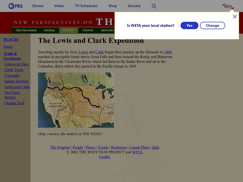
Pbs: The West: Lewis and Clark Expedition
Part of the PBS site, "The West," this link gives a general explanation of the Lewis and Clark expedition. Links to biographies.
Discovering Lewis & Clark
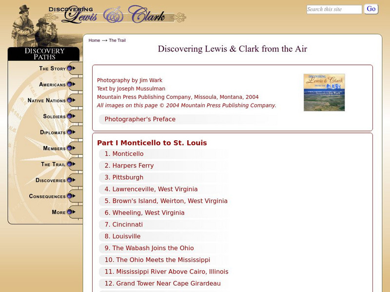
Discovering Lewis & Clark: Discovering Lewis & Clark From the Air
Provides images taken in the air of the Lewis and Clark trail. Select photos from the linked numerals on the maps, or from the titles listed sequentially beneath the maps for more detailed information on each stop.
PBS
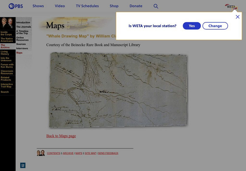
Pbs: Lewis and Clark: "Whale Drawing Map" by William Clark
See this map drawn by William Clark of where the men from the Corps of Discovery found the whale which the Tillamook Indians told them about. From PBS.
Discovering Lewis & Clark
Discovering Lewis & Clark: Travelers' Rest to Lolo Pass
Features Clark's sketch map of Travelers' Rest to Lolo Pass, Montana.
Discovering Lewis & Clark
Discovering Lewis & Clark: Through the Valleys of Lewis's River
Features a key map of Lewis's River Valleys. Click on a key point on the map for in-depth detail.
Discovering Lewis & Clark
Discovering Lewis & Clark: Mrc Map of the Big Bend (1880S)
Presents the Missouri River Commission's map of the Big Bend from the 1880s.
University of Oregon
Mapping History: American History
Interactive and animated maps and timelines of historical events and time periods in American history from pre-European times until post-World War II.
Curated OER
Scholastic: Lewis and Clark
An interactive site that has students follow the Lewis and Clark's expedition. As they travel west, they are able to collect objects on their journey and put them in their specimen box. They also take notes on their specimens so they can...
Curated OER
Educational Technology Clearinghouse: Maps Etc: United States, 1845
A map of the United States in 1845 after the Louisiana Purchase, the Lewis and Clark Expedition, and the annexation of Texas. The map is color-coded to show the States and territory of the United States west to the Pacific with the dates...


