Curated OER
Changes Close To Home
Learners interview the senior citizens in their community. While interviewing them, they identify perceptions they have about the local climate. Using the internet, the compare the results of the interview to those of public thirty...
Curated OER
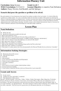
Wind and The Airline
Fifth graders attempt to solve a problem related to an airline accident. The accident appears to be weather related. They analyze and research the effects of wind and turbulence in order to prevent future accidents.
Curated OER
Information Station
Students look through different print materials to information. In this information lesson plan, students look through the newspaper, magazines, and menus to practice finding such things as, the weather for the day, a picture of a nice...
Curated OER
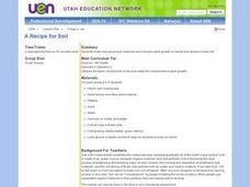
A Recipe for Soil
Fourth graders use local materials such as leaves and other plant matter; sand and pebbles to make soil. They plant seeds in the manufactured soil and in natural soil and then observe and record the results.
Curated OER
Sky Watching
Young scholars trace how weather patterns generally move from west to east in the United States.
Curated OER
Will There Be Ozone Tomorrow
Students collect and analyze real time data. They make comparisons and determinations about the status of ozone in their local area and predict the Ozone level for the next day
Curated OER
Backyard Bird Watch
Pupils use the Internet, digital cameras, video cameras and other computer technology to observe and record information on local birds that visit their bird feeders. They consider factors such as weather and seed consumption.
Curated OER
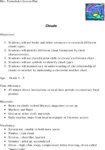
Clouds
Students explore the characteristics of clouds, their formation, symbols used in their identification, and the relationship of clouds to weather. The lesson focuses on how they are formed and their classification.
Curated OER
Newspaper Knowledge
Learners read the local newspaper and interpret the written information.
Curated OER
Acid Rain
Students identify the causes and effects of acid rain. Using the internet, they research pollution sources in their local area and by collecting rain samples and testing the pH. In groups, they develop their own plan urging local...
Curated OER
Exploring and Comparing Other Communities
Third graders search TDC database for images of physical geography maps, weather maps, natural resources maps, and old travel brochures. They create a new travel brochure of an area of their choice using the information they gathered.
Curated OER
Air Masses
Students examine the physical characteristics of several types of air masses to discover how air masses can be identified and defined by their temperature and moisture content.
Curated OER
AT YOUR FINGERTIPS
The student will locate countries on a world map from which we import foods that our climate prevents us from growing locally.1. Discuss the term "export." Divide middle schoolers into groups of four. Give the groups
five minutes to...
Curated OER
Tracking Ozone
Pupils track an ozone event in Groton, CT. They compare weather changes and the subsequent ozone levels. Also, they make comparisons and determinations about ozone levels.
Curated OER
How Does Climate Affect Our Shelter Needs?
Fourth graders investigate how weather influences shelter choices. They explore the concept of insulation and discuss some traditional Native American shelters. They discuss the shelters used by the Okanogan people during the various...
Curated OER
Acid Rain Producers
Students investigate the impact of local industries and other activities within a twenty mile radius of their school that may contribute to acid rain in their area. Students use their findings to create public information posters to be...
Curated OER
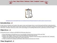
WWII: On The Homefront and Abroad
Students explore World War II from the perspective of both the sides. They research the changes that occurred on the homefront during 1942-1944. Students prepare and conduct an interview with a local veteran or spouse of a veteran...
Curated OER
Agriculture
Students examine the types of agriculture in their own state and in their local community. They examine how food makes it to their local grocery store. They compare data from different states.
Curated OER
Mapping a Stream
Young scholars map an actual local waterway. They create full color scale drawings that include windfalls, plant cover, streambed composition, and landmarks such as trees, boulders, and slumps. This is a long-term project that involves...
Curated OER
Transport
Students analyze wind barbs and determine which way the wind is blowing and how hard the wind is blowing. They access near real time wind data and pollutant animations to track the transport and destination of pollutants.
Curated OER
Record the Data and Find the Averages
Learners record the daily outdoor temperature as well as the number of minutes of sunlight per day over a determined period. They calculate the average temperature and minutes of sunlight per day and post their data on the project website.
Curated OER
Feelings about Current Events
Students explore feelings about negative events. In this health and social studies lesson, students discuss and write about personal feelings about events that have had an impact on their life, such as hurricanes, tornadoes, and plane...
Curated OER
Dangerous Storms
Young scholars examine media language for dangerous storms stressing; preparation, evacuation, and emergency assistance, and problem-solving techniques for emergency situations.
Curated OER
How Did This Happen?
Students use websites and discussion to investigate the 2004 Asian Tsunami. Students identify the Indian Ocean coastline's physical, political and human geography features and consider how they affected loss of life and property in those...
Other popular searches
- Local Weather Forecasts
- Local Weather Unit
- Local Weather Graph
- Local Weather Concepts
- Local Weather Line Graph

