PBS
Pbs: Journey to Planet Earth: Hot Zones
This online companion to the PBS series "Journey to Planet Earth: Hot Zones" explores how changes in ecosystems can lead to increased risk and transmission of infectious diseases. Highlights include video clips and educational resources.
Other
Clari Net: Local Times Around the World
Click on a continent, and then a country to find out the current time. Includes date, time, latitude and longitude, local time zone, and whether or not the country is on standard time or daylight saving time.
Other
Time and date.com: Time Zone Abbreviations
You can find out time zone abbreviations, time differences with UTC, and other useful time information.
Other
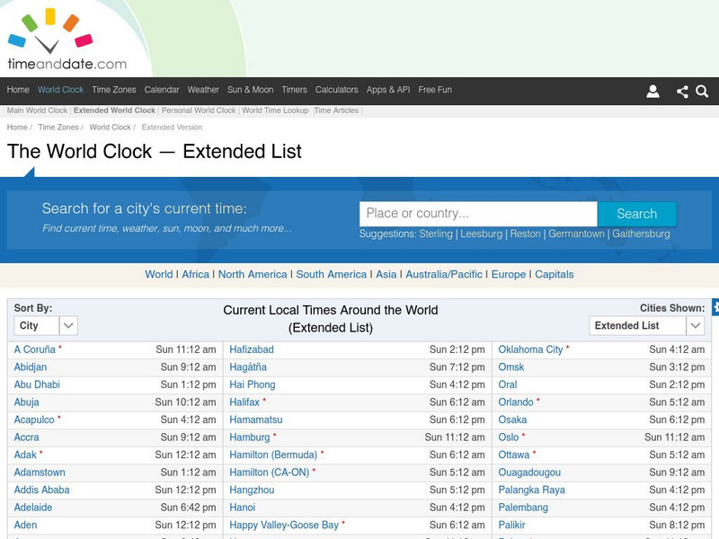
Time and date.com: The World Clock Time Zones
This website has a variety of time resources. You can find a major city and its time. If you click on that city it will give you lots of information.
Curated OER
Educational Technology Clearinghouse: Maps Etc: South China, 1971
"South China comprises the drainage basins of the middle and lower Yangtze River, the basin of the His Chiang (West River) in Kwangtung and Kwangsi; and the mountainous coastal provinces of Fukien and Chekiang. The division between the...
Curated OER
Educational Technology Clearinghouse: Maps Etc: Railroads in United States, 1910
A map from 1910 of the United States showing the railway network and connecting steamship lines. This map distinguishes the transcontinental railroads and secondary lines, and shows the standardized time zones used in 1910. The clock...
Curated OER
Etc: Maps Etc: Standard Time in the United States, 1910
A map from 1910 of the United States showing the time zones as they were then established. Clock-symbols at the bottom of the map show the comparative times when it is noon in London. "Formerly every city used its own sun time, or local...
Curated OER
Educational Technology Clearinghouse: Maps Etc: Mexico, 1872
A map from 1872 of Mexico, showing states and state capitals, major cities, towns, and ports, railroads, lakes and rivers, mountain systems, terrain, and coastal features. Steamship routes to major ports are shown, with distances marked...
Curated OER
Educational Technology Clearinghouse: Maps Etc: Rhode Island, 1872
A map from 1872 of Rhode Island, with map inserts of Providence, Newport, and Block Island. The map shows counties and county seats, principal cities, ports, and towns, railroads, terrain and coastal features, and rivers. Clock symbols...
Curated OER
Etc: Maps Etc: Commercial Map of the United States, 1872
A commercial map from 1872 of the United States showing the principal railroad and steamship routes in the region at the time. The map shows state boundaries and capitals, major cities and ports, submarine telegraph cables to Europe,...


