Hi, what do you want to do?
Curated OER
Circle the Earth - Explore Surface Types on a Journey around Earth
Students use CERES percent coverage surface data with a world map in locating landmasses and bodies of water at Earth's Equator.
Curated OER
A Bird's Eye View of our 50 States
Third graders focus on state birds as they learned absolute location (latitude/longitude) of each state, as well as their relative location (bordering states).
Curated OER
Geography: Snow Cover on the Continents
Students create maps of snow cover for each continent by conducting Internet research. After estimating the percentage of continental snow cover, they present their findings in letters, brochures or Powerpoint presentations.
Curated OER
State Your Position
Students practice using a global positioning system. They discuss the use of celestial objects as navigation points and its problems. They list the advantages and disadvantages of GPS as well.
Curated OER
An Exploration of Global Oil Spill Disasters
In this oil spills worksheet, learners write facts about the research they find about the oil spills asked. Students complete answers for 20 oil spills.
Curated OER
Deep Blue: Exploring the Deep Ocean
Students examine landforms. In this social studies lesson, students bounce a beach ball around in order to discover that seventy percent of the Earth is covered in water. Students
University of Arizona
Pulse: From Global to City Air: Air Quality, City Design and Disease
Students are challenged to design a healthy city in this unit plan. The cross-curricular unit covers content standards for ninth grade in science, language arts, world geography, and math. Students explore air quality and the impact it...
TeachEngineering
Teach Engineering: Plot Your Course Navigation
In this unit, students learn the very basics of navigation, including the different kinds of navigation and their purpose. The concepts of relative and absolute location, latitude, longitude and cardinal directions are discussed, as well...
Texas Instruments
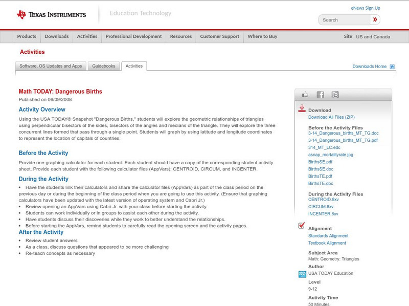
Texas Instruments: Math Today Dangerous Births
In this activity, using the USA TODAY Snapshot "Dangerous births" students will explore the geometric relationships of triangles using perpendicular bisectors of the sides, bisectors of the angles and medians of the triangle. They will...
TeachEngineering
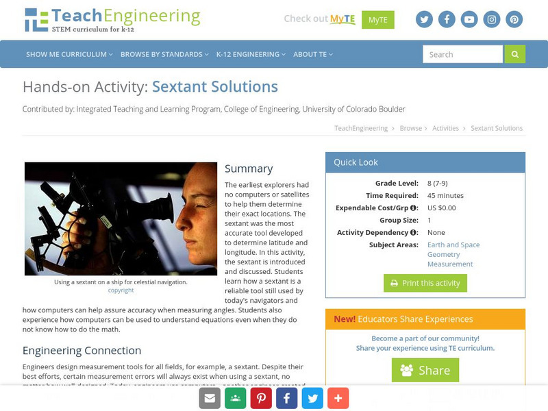
Teach Engineering: Sextant Solutions
The earliest explorers did not have computers or satellites to help them know their exact location. The most accurate tool developed was the sextant to determine latitude and longitude. In this activity, the sextant is introduced and...
Texas Instruments
Texas Instruments: Numb3 Rs: Traveling on Good Circles
Based off of the hit television show NUMB3RS, this high-level math lesson has students delve into the topic of Great Circles on a sphere (specifically, the Earth), in order to find the shortest distances between locations. Students will...


