Hi, what do you want to do?
Curated OER
Graphing: Ocean Floor
Students graph the ocean floor using given data. In this earth science lesson, students label different oceanic features on the map. They answer questions at the end of the lab.
PBS
Pbs Nova Online: Lost at Sea the Search for Longitude
"The quest for a reliable method to find your way at sea was one of the thorniest problems of the 1700s." Find out about the search for longitude at this NOVA site. Includes interactive Shockwave game, learning activities and more.
Science Education Resource Center at Carleton College
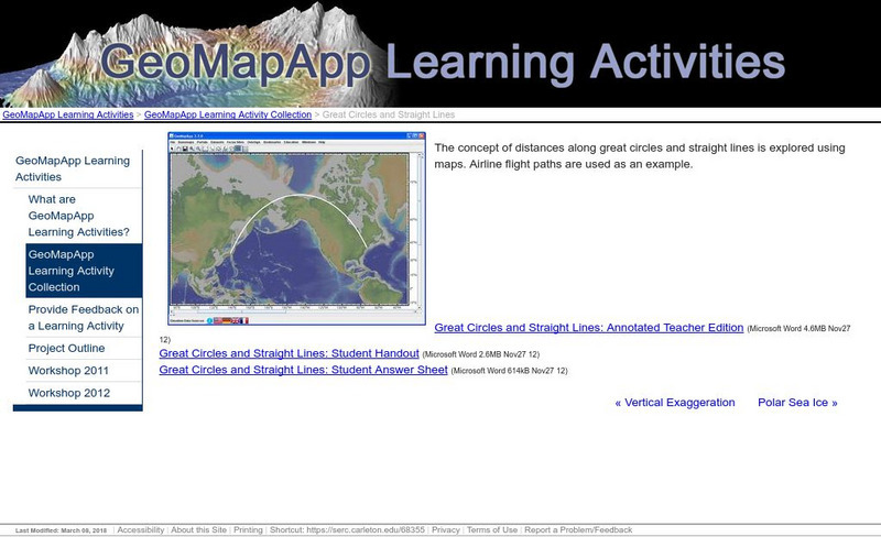
Serc: Great Circles and Straight Lines
Using maps, students explore the concept of distances along great circles and straight lines. Airline flight paths are used as an example.
Wikimedia
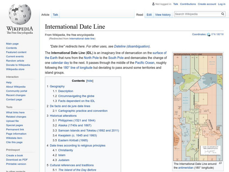
Wikipedia: International Date Line
Wikipedia offers information on the International Date Line, an imaginery line that offsets the hours added as one travels east through time zones.
City University of New York
Brooklyn College, Cuny: Latitude and Longitude
Students can read about how lines of latitude and longitude form a grid that makes it easy to pinpoint one's location on Earth. Then they can take an online quiz to check their understanding.
Mocomi & Anibrain Digital Technologies
Mocomi: What Is the International Date Line?
Discover interesting and fun facts about the International Date Line.
City University of New York
Earth and Environmental Sciences: Treasure Hunt
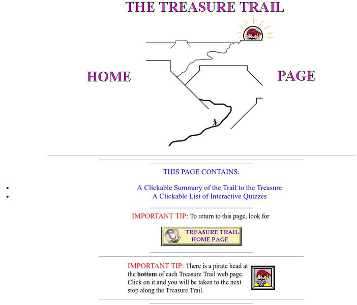
Looking for enrichment? Here's an online treasure hunt requiring skill with directions, distance, contour maps, latitude, and longitude. Also supplementing the activity are interactive quizzes on latitude, longitude, and other related...
Texas Instruments
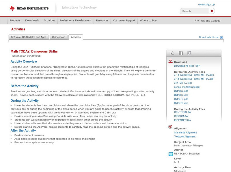
Texas Instruments: Math Today Dangerous Births
In this activity, using the USA TODAY Snapshot "Dangerous births" students will explore the geometric relationships of triangles using perpendicular bisectors of the sides, bisectors of the angles and medians of the triangle. They will...
Texas Instruments
Texas Instruments: Numb3 Rs: Traveling on Good Circles
Based off of the hit television show NUMB3RS, this high-level math lesson has students delve into the topic of Great Circles on a sphere (specifically, the Earth), in order to find the shortest distances between locations. Students will...
University of Hawai'i
The Hawai`i Space Grant Consortium: Lunar Images
Part of the Exploring Planets in the Classroom series, this site provides images of the Moon, with Latitude and Longitude reference lines.
ClassFlow
Class Flow: Major Topographical Features of the u.s.
[Free Registration/Login Required] In this flipchart students will locate major topographical features of the United States of America. Website links covering Identify rivers, mountain ranges, the equator, prime meridian, and lines of...
Wikimedia
Wikipedia: Prime Meridian
This site from the Encyclopedia Wikipedia provides an encyclopedia article on the prime meridian discusses the important principles were established at the International Meridian Conference in 1884.
Curated OER
Educational Technology Clearinghouse: Maps Etc: Pre Colonial Africa, 1872
A map of Africa showing the continent prior to the Berlin Conference of 1885, when the most powerful countries in Europe at the time convened to make their territorial claims on Africa and establish their colonial borders at the start of...
Curated OER
Etc: Maps Etc: Europe on a Conic Projection, 1915
A map of Europe on a simple conic projection showing straight meridians or lines of longitude, and concentric circular parallels or lines of latitude.
Curated OER
Educational Technology Clearinghouse: Maps Etc: Nevada, 1903
A map from 1903 of Nevada showing counties and county seats, principal cities and towns, mountain ranges, and rivers. "Nevada, one of the most western of the States of the American Union, was formed from a portion of the territory...
Curated OER
The Hawai`i Space Grant Consortium: Lunar Images
Part of the Exploring Planets in the Classroom series, this site provides images of the Moon, with Latitude and Longitude reference lines.
Curated OER
The Hawai`i Space Grant Consortium: Lunar Images
Part of the Exploring Planets in the Classroom series, this site provides images of the Moon, with Latitude and Longitude reference lines.
Curated OER
The Hawai`i Space Grant Consortium: Lunar Images
Part of the Exploring Planets in the Classroom series, this site provides images of the Moon, with Latitude and Longitude reference lines.
Curated OER
The Hawai`i Space Grant Consortium: Lunar Images
Part of the Exploring Planets in the Classroom series, this site provides images of the Moon, with Latitude and Longitude reference lines.
Curated OER
Etc: Maps Etc: Physical, Political, and Economic Asia, 1872
A map of Asia from 1872, showing physical features including mountain systems, deserts, lakes, rivers with direction of flow, coastal features, and ocean currents, political boundaries and foreign possessions at the time, and commercial...
Curated OER
Educational Technology Clearinghouse: Maps Etc: Province of Quebec, 1920
A map from 1920 of the province of Quebec from the St. Lawrence River to Hudson Bay and the Hudson Strait. The map shows the Dominion capital of Ottawa, Province capital of Quebec City, major cities and towns, existing and proposed...
Curated OER
Educational Technology Clearinghouse: Maps Etc: Ontario (Northern Part), 1920
A map from 1920 of the northern part of the province of Ontario. The map shows the capital of Ottawa, major cities and towns, existing and proposed railways, county boundaries, forest reserve boundaries, national park boundaries, Indian...
Curated OER
Educational Technology Clearinghouse: Maps Etc: The State of Texas, 1858
A map from 1853 of Texas showing the capital at Austin, county lines at the time, principal cities and towns, railroads, mountains, rivers, and coastal features. The map shows the tribal lands in the western part of the state. Longitudes...


