Hi, what do you want to do?
Yale University
Avalon Project: The Louisiana Purchase 1803
A series of primary source documents all related to the Louisiana Purchase. Includes the text of the final agreement, speeches by Jefferson and others. Great stuff!
Other
Encyclopedia of Arkansas: Louisiana Purchase to Statehood
A historical overview of the time period covering the Louisiana Purchase to the beginning of Arkansas Statehood (1803 through 1860).
US National Archives
Our Documents: The Louisiana Purchase Treaty (1803)
A fantastic site from the Our Documents group that allows visitors to see an original copy of the Louisiana Purchase Treaty of 1803. This treaty allowed the United States to purchase a tract of land west of the Mississippi River that was...
Siteseen
Siteseen: American Historama: Louisiana Purchase, 1803
Provides the history of the events leading up to the Louisiana Purchase, the negotiations, the treaty, and the Constitution, together with numerous facts about the event.
University of Groningen
American History: Essays: Society After the Louisiana Purchase
Essay outlines events before and after the Louisiana Purchase from Jefferson convincing the French to cede New Orleans in 1803, to the expedition of Lewis and Clark in 1804.
Discovering Lewis & Clark
Discovering Lewis & Clark: America in 1803
This section of the larger Discovering Lewis & Clark website explores in detail America in 1803 and delves into the Louisiana Purchase, Thomas Jefferson, and political geography among other topics.
Khan Academy
Khan Academy: Us History: 1800 1848: The Louisiana Purchase and Its Exploration
In 1803, Jefferson made a controversial decision that effectively doubled the territory of the United States while transgressing his own views of proper presidential authority.
Black Past
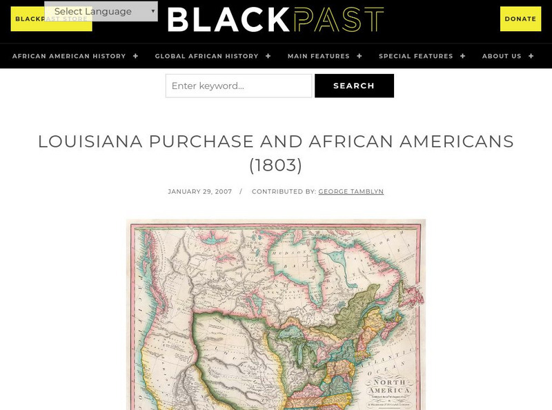
Black Past: Louisiana Purchase and African Americans
In this brief encyclopedia article, you find the effect the Louisiana Purchase had on African-Americans because of the new land added to the United States. There is a link to a website that gives additional information about the...
PBS
Pbs: Louisiana Purchase: April 30, 1803
This PBS site provides images of all pages of the original Louisiana Purchase, with a transcript.
US National Archives
Docsteach: Lewis & Clark's Expedition to the Complex West
This activity can be used as an introduction or for a closer study of the Lewis & Clark Expedition. Students will learn that the United States purchased the Louisiana Territory in 1803 and President Thomas Jefferson sent Lewis and...
Curated OER
Educational Technology Clearinghouse: Maps Etc: Louisiana Purchase, 1803
A map of the Louisiana territory purchased from France in 1803, and the boundary established with the western Spanish territory by the purchase.
Curated OER
Educational Technology Clearinghouse: Maps Etc: The Louisiana Purchase, 1803
A map of the Louisiana territory purchased from France in 1803, and the boundary established with the western Spanish territory by the purchase. The map overlays the current State boundaries to show the extent of the territory.
Curated OER
Etc: The Louisiana Purchase, 1803 1809
A map of the United States and the Louisiana Territory showing boundary disputes and boundary claims between 1763 and 1809. The map shows the natural boundaries and extent of the original Louisiana Territory claimed by the French, the...
Curated OER
Etc: Maps Etc: The United States After the Louisiana Purchase, 1803
A base map showing the extent of the United States after the purchase of the Louisiana territory from France in 1803.
Curated OER
Etc: Maps Etc: The Expansion Resulting From the Louisiana Purchase, 1803
A base map showing the expansion of the United States resulting from the Louisiana Purchase in 1803.
University of Oregon
Mapping History Project: Territorial Expansion of the u.s. 1783 1853
Click on the sliding bar and watch how the United States territory grew with the Louisiana Purchase, Florida Acquisitions, Texas Annexation, Oregon Country, and Mexican Cession.
PBS
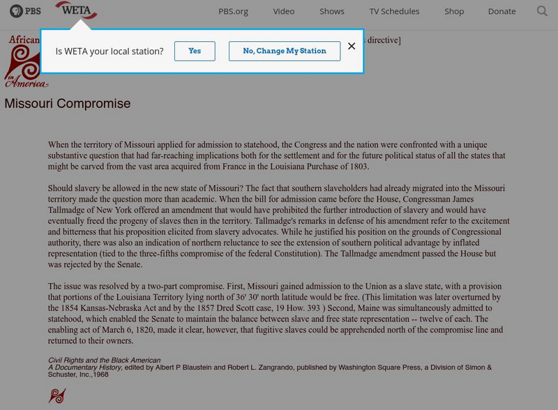
Africans in America: Missouri Compromise
This PBS site offers information about the compromise that settled the question of whether slavery would be allowed in the vast area acquired from France in the Louisiana Purchase of 1803.
Curated OER
Etc: The Louisiana Purchase, 1865 1898
A map of the Louisiana territory purchased from France in 1803, and the boundary established with the western Spanish territory by the purchase. The map overlays the current State boundaries to show the extent of the territory.
Curated OER
Etc: Maps Etc: The United States Before the Louisiana Purchase, 1800
A base map showing the extent of the United States prior to the purchase of the Louisiana from France in 1803.
Curated OER
Etc: The Territory of the Us Before and After the Louisiana Purchase, 1783 1803
A map of the United States showing the extent of the country prior to, and after the Louisiana Purchase from France in 1803.
Curated OER
Educational Technology Clearinghouse: Maps Etc: The Mexican War, 1803 1848
A map of northern and central Mexico and southern United states showing the area of conflict during the Mexican-American War (1846-1848). The map shows the Mexican boundary (under Spain) established by the Louisiana Purchase (1803)...
Curated OER
Educational Technology Clearinghouse: Maps Etc: West Florida, 1803 1819
A map of the disputed territory of West Florida showing the United States claim after the Louisiana Purchase (1803) and President Madison's annexation (1810) from the Mississippi River to the Pearl River, the occupation to the Perdido...
US National Archives
Our Documents: A National Initiative on American History, Civics, and Service
Our Documents is home to one hundred milestone documents that influenced that course of American history and American democracy. Includes full-page scans of each document, transcriptions, background information on their significance, and...
Curated OER
Etc: Maps Etc: The Territory of the United States, After April 30, 1803
A map of the United States in 1803 showing the extent of the territory after the Louisiana Purchase from France. The map is color-coded to show the possessions of the United States, Great Britain, and Spain at the time, and shows the...


