Enchanted Learning
Enchanted Learning: Louisiana
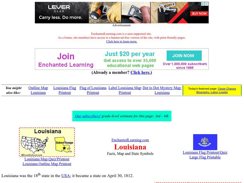
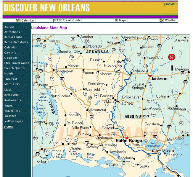
This site has a colorful display of information about Louisiana. It contains a map, pictures, a list of state symbols, and links to related information.
Other
The Story of the Us Told in 141 Maps
This collection of United States maps includes a year-by-year. Beginning from the Declaration of Independence and extending to present-day, students will learn explore and interact with these maps that change year-by-year.
Kidport
Kidport: United States of America Geography
This site contains a fun way to learn about the states within the United States. Click on the state that you want to learn more about and it provides facts, geographic landmarks, points of interest, major industries, a quiz and more.
Annenberg Foundation
Annenberg Learner: u.s. History Map Interactive
Become a geography whiz as you learn how the United States was settled. Discover how the continent was irrevocably changed by European colonization, the events that caused the wholesale displacement and decimation of the land's original...
Cayuse Canyon
The Us50: Louisiana
Features extensive information regarding Louisiana's history, famous people, cities, geography, state parks, tourism, and historic sites. A fact sheet of information and a quiz are also available.
CRW Flags
Flags of the World: Clickable Map of the United States
Includes both printable images and fascinating trivia behind the flag of each state. It includes alternate flags used in the past.
Annenberg Foundation
Annenberg Learner: United States History Map: The Nation Expands
After examining a map showing the expansion of the United States, click to read about each addition to the country and see where that addition is. Play Expansion Concentration to test your skills.
University of Oregon
Mapping History Project: Territorial Expansion of the u.s. 1783 1853
Click on the sliding bar and watch how the United States territory grew with the Louisiana Purchase, Florida Acquisitions, Texas Annexation, Oregon Country, and Mexican Cession.
University of Oregon
Mapping History Project: Missouri Compromise: 1820
Interactive map showing free states and territories and slave states and territories before and after the Missouri Compromise of 1820. Click on the map to choose before or after and the key. Shockwave required.
iCivics
I Civics: Louisiana Purchase (1803)
In this map-based lesson, students learn the historic importance of the Mississippi River, why the U.S. was determined to maintain access, and how the United States acquired the land that made up the Louisiana Purchase.
Other
U.s. Genealogy Map Project: u.s. Border/land Claims 1804 1823
A great map and a list of the acquisitions and border changes of the United States from 1804 to 1823. A concise resource showing Western expansion.
US National Archives
National Archives: Lewis and Clark's Expedition to the Complex West
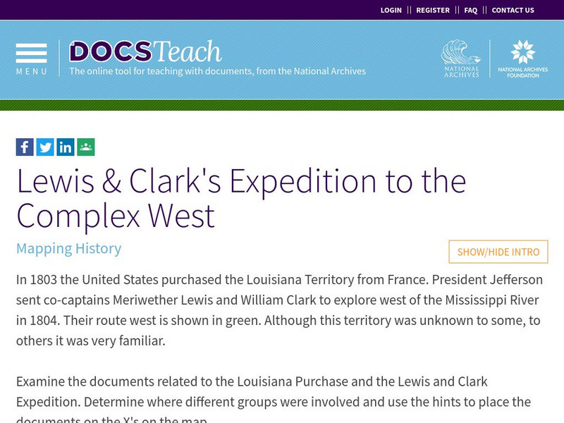
Jefferson sent Lewis and Clark to explore the land annexed in the Louisiana Purchase knowing that his area was already inhabited and politically complicated. Students will explore documents related to the purchase and use the map to...
Other
Animated Atlas: Growth of a Nation
A 10-minute movie showing the expansion of the United States after the end of the Revolutionary War. Follow the directions to start the movie and listen to the explanations.
Curated OER
Educational Technology Clearinghouse: Maps Etc: Operation in Louisiana, 1863
A map of the vicinity of New Orleans showing operations in Louisiana during the American Civil War, from February to July, 1863. The map covers the area from New Orleans west to New Iberia and north to the Mississippi State Line, showing...
Curated OER
Perry Castaneda Map Collection: Admission of States and Territorial Acquisitions
Here's a map to show you when states were added to the Union. It also shows territories and when they were acquired.
Curated OER
Educational Technology Clearinghouse: Maps Etc: Vicinity of New Orleans, 1872
A map from 1872 of the vicinity of New Orleans. "New Orleans, now the capital of the state of Louisiana, is on the E. bank of the Mississippi River, 105 miles from its mouth, by the river's course. It was first settled by the French in...
Curated OER
Educational Technology Clearinghouse: Maps Etc: New Orleans, 1919
A map from 1919 of the vicinity of New Orleans and the Mississippi Delta showing the State capital of Baton Rouge, neighboring towns, railroads, lakes, rivers, and coastal features of the region.
University of Georgia
University of Georgia: The Mississippi Territory (1814)
An 1814 American map of the territory of the lower Mississippi valley; part of the larger Louisiana Purchase that President Jefferson purchased from the French in 1803.
US National Archives
Docsteach: Lewis & Clark's Expedition to the Complex West
This activity can be used as an introduction or for a closer study of the Lewis & Clark Expedition. Students will learn that the United States purchased the Louisiana Territory in 1803 and President Thomas Jefferson sent Lewis and...


