Curated OER
Educational Technology Clearinghouse: Maps Etc: New Zealand, 1904
A geo-political map of New Zealand current to 1904, showing major cities, railroad lines, and navigable rivers. Physical features include mountain ranges with elevation measured in feet, major rivers and watersheds, and the 100-fathom...
Curated OER
Educational Technology Clearinghouse: Maps Etc: Switzerland, 1904
A geo-political map of Switzerland that shows canton and country borders current to 1904, major cities, tunnels and railroad lines. Physical features such as mountain ranges with elevation measured in feet, glaciers, and major rivers....
Curated OER
Educational Technology Clearinghouse: Maps Etc: Scotland, 1904
A geo-political map of Scotland that shows district borders current to 1904, major cities, railroad lines, canals and navigable rivers. Hadrian's Wall is shown, referred to on the map as the Roman Wall. Physical features such as mountain...
Curated OER
Educational Technology Clearinghouse: Maps Etc: England and Wales, 1904
A geo-political map of England and Wales that shows country borders current to 1904, major cities, railroad lines, canals and navigable rivers. Hadrian's Wall is shown, referred to on the map as the Roman Wall. Physical features such as...
Curated OER
Etc: Maps Etc: Africa Before the Berlin Conference, 1882
A map of Africa as it was known in 1882 before the Berlin Conference of 1885, when the most powerful countries in Europe at the time convened to make their territorial claims on Africa and establish their colonial borders at the start of...
Curated OER
Educational Technology Clearinghouse: Maps Etc: Australia, 1912
A map of Australia showing major political subdivisions, mountain ranges, railroads, waterways, and cities. Includes insert maps of Tasmania and New Zealand.
Curated OER
Etc: United States Showing Acquisition of Territory, 1783 1900
A map from 1911 of the United States and its territories between 1783 and 1900 showing the nation's expansion and date of acquisition of each state or territory. The map also shows major cities, waterways, and mountain ranges. Includes...
Curated OER
Etc: United States Showing Acquisition of Territory, 1783 1900
A map from 1912 of the United States and its territories between 1783 and 1900 showing the nation's expansion and date of acquisition of each state or territory. The map also shows major cities, waterways, and mountain ranges. Includes...
Curated OER
Unesco: Russian Federation: Putorana Plateau
This site coincides with the area of the Putoransky State Nature Reserve, and is located in the central part of the Putorana Plateau in northern Central Siberia. It is situated about 100 km north of the Arctic Circle. The part of the...
Other
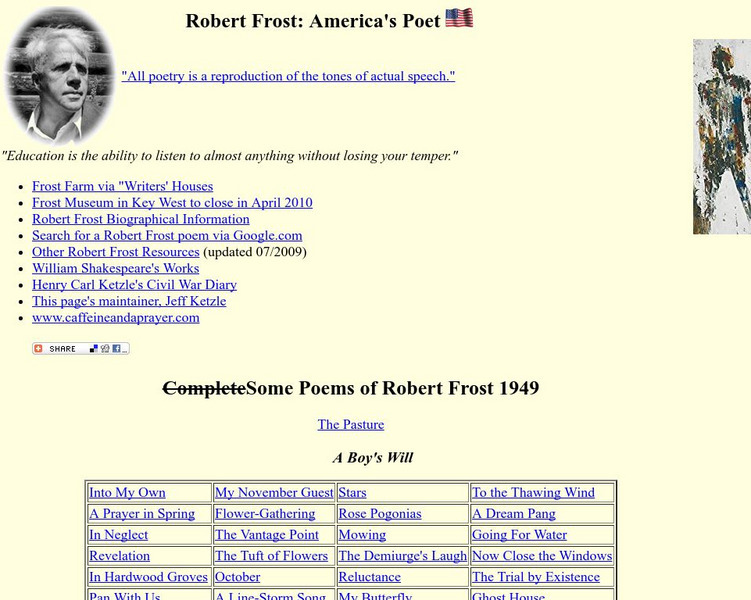
Robert Frost: America's Poet
This site provides many full text poems by Robert Frost. There are also multiple links for more information on Frost and his works.
Curated OER
Educational Technology Clearinghouse: Maps Etc: South China, 1971
"South China comprises the drainage basins of the middle and lower Yangtze River, the basin of the His Chiang (West River) in Kwangtung and Kwangsi; and the mountainous coastal provinces of Fukien and Chekiang. The division between the...
Curated OER
Educational Technology Clearinghouse: Maps Etc: Physical Europe, 1916
A physical map of Europe from 1916 showing color-coded elevations and water depths for the area extending from Iceland to the Ural Mountains in Russia Proper, and the Arctic Circle to the Mediterranean Sea. Land elevation colors range...
Curated OER
Educational Technology Clearinghouse: Maps Etc: Northeast China, 1971
"Northeast China - the provinces of Heilungkiang, Kirin, and Liaoning - is the most important region of the country and a nationally significant and still-developing center of agricultural production. Most of the Northeast remained...
Curated OER
Educational Technology Clearinghouse: Maps Etc: Physical Map of Europe, 1916
A physical map of Europe from 1916 showing color-coded elevations and water depths for the area extending from Iceland to the natural boundary between Europe and Asia (Ural Mountains to the Caspian Sea), and the Arctic Circle to the...
Curated OER
Etc: Maps Etc: Physical Map of South America, 1910
A physical map from 1910 of South America showing color-contoured land elevations and water depths. Elevations range from sea level to over 6,500 feet, and water depths range from sea level to below 13,000 feet. This map shows the...
Curated OER
Educational Technology Clearinghouse: Maps Etc: Physical Asia, 1910
A map from 1910 of Asia, showing physical features and general elevations. This map uses color-contours to show land elevations ranging from below sea level around the Caspian Sea to over 6,500 feet, and water depths from sea level to...
Curated OER
Educational Technology Clearinghouse: Maps Etc: Physical Asia, 1916
A map from 1916 of Asia, showing physical features and general elevations. This map uses color-contours to show land elevations ranging from below sea level around the Caspian Sea to over 15000 feet, and water depths given in fathoms....
Curated OER
Etc: Maps Etc: Physical Asia With Isotherms, 1916
A map from 1916 of Asia, showing physical features, general elevations, and mean isotherms for January and July. This map uses color-contours to show land elevations ranging from below sea level around the Caspian Sea to over 12000 feet,...

