Other
Reading Quest: Making Sense of Social Studies
Teaching students to read well in areas other than language arts requires teaching and reinforcing the kinds of reading strategies taught here. There are 27 strategies, ranging from brainstorming to word mapping. The site includes PDF...
Science Buddies
Science Buddies: Science Careers: Mapping Technician
Mapping technicians, also called surveying technicians, as their name suggests, use many different tools to make maps of many kinds. This Science Buddies site lays out the requirements needed to become a mapping technician, as well as...
BBC
Bbc: Bitesize Geography: Os Map Skills
A short tutorial on mapping tools and how to read maps. Covers features of maps, symbols, the compass, scale, distance, how height is represented, and grid references. Includes multiple-choice quiz at the end.
TeachEngineering
Teach Engineering: Digital Mapping and Geographic Information Systems (Gis)
Geographic information systems (GIS), once used predominantly by experts in cartography and computer programming, have become pervasive in everyday business and consumer use. This unit explores GIS in general as a technology about which...
University of Nebraska
University of Nebraska Lincoln: Railroads and the Making of Modern America
Jump aboard to examine the importance of railroads during the Civil War. Delve into primary source documents that show how the newly developed rail system played a strategic role in many battles and also examine the role of slave labor...
University of Nebraska
Railroads and Making of Modern America: Land Sales, Migration and Immigration
Primary source materials that focus on how the westward expansion of the railroads affected the sale of land, migration, immigration, and population characteristics. Includes letters, personal accounts, maps, documents, etc.
University of Minnesota
University of Minnesota: Immigration: Projecting Maps, Making Representations
This resource compares four different world maps. The goals are to encourage critical thinking about maps as representations and to show how maps influence the ways in which one conceptualizes the world.
Library of Congress
Loc: Local History: Mapping My Spot
Students often think of history as tattered documents, worn photographs, and musty books, all of which have little or no relevance to their lives. Maps provide an often-overlooked source of information and a new and compelling...
Rice University
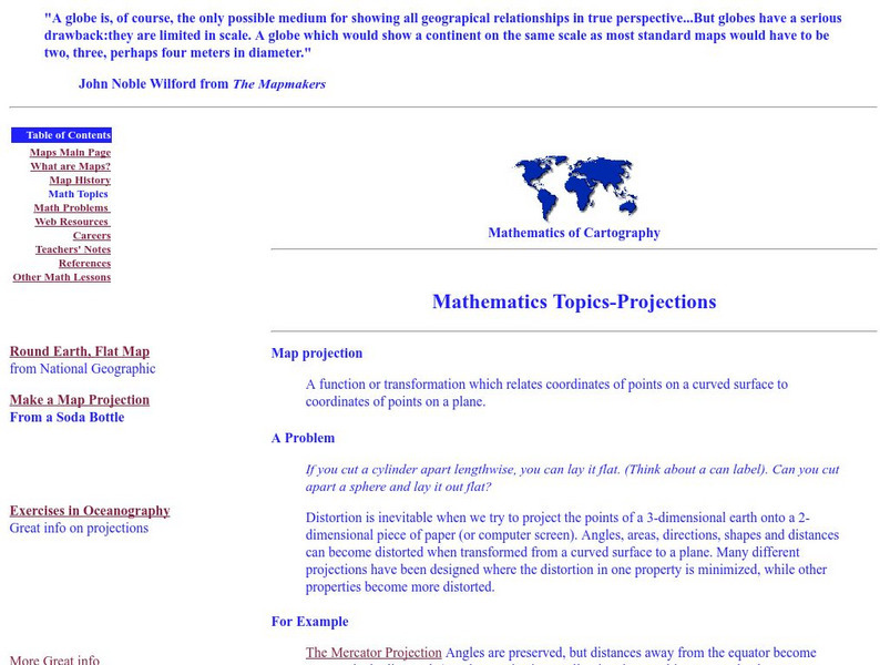
Rice University: Cynthia Lanius: Mathematics of Cartography: Projections
Understanding map projections is an important map-reading skill. Features graphics and links to examples of many different projections and an activity on making a Mercator projection.
Utah Education Network
Uen: Memories, a Connection to the Past
This lesson engages students in reading comprehension strategies related to Elizabeth Howard's Aunt Flossie's Hats, Mem Fox's Wilford Gordon McDonald Partridge, Bill Martin's Knots On A Counting Rope, and Lucia Gonzales' The Bossy...
Science Buddies
Science Buddies: Career Profile:cartographers and Photogrammetrists
Cartographers and photogrammetrists--big words for careers in mapping, both 2-D and 3-D. Watch interviews with people who use their expertise in geographic information to help make policy decisions. This Science Buddies site lays out the...
SUNY Empire State College
Empire State College: Developing Ideas for Writing
Explains nine methods for developing ideas for writing, including freewriting, brainstorming, clustering/mapping, maintaining a personal journal, responding to a text, maintaining a response journal, responding to a specific assignment,...
Better Lesson
Better Lesson: Comparing and Contrasting With "Then and Now"
This lesson plan is a great small group reading lesson plan that has a social studies connection. In this lesson plan, students will be comparing and contrasting schools from long ago and schools of today using informational texts....
University of Colorado
University of Colorado: Error, Accuracy, and Precision Exam
A university exam on the topics of error, accuracy, and precision. Includes essay, short answer, and multiple-choice. Links to lecture and discussion notes. Answers to short essay and multiple-choice are provided.
Other
Bscs: Budburst Lilac Festival
In this self-directed activity, students use graphs and maps of lilac phenology data to determine the best time to host a lilac blossom festival in their area. A handout with everything the student needs to complete this lesson is...
EL Education
El Education: Sapling Rise a Micro Field Guide
Students create a field guide for a three foot by three foot plot of ground. Students name their plots, graph temperature, create an inventory and table to record observations, make illustrations, and write informational text based on...
Other
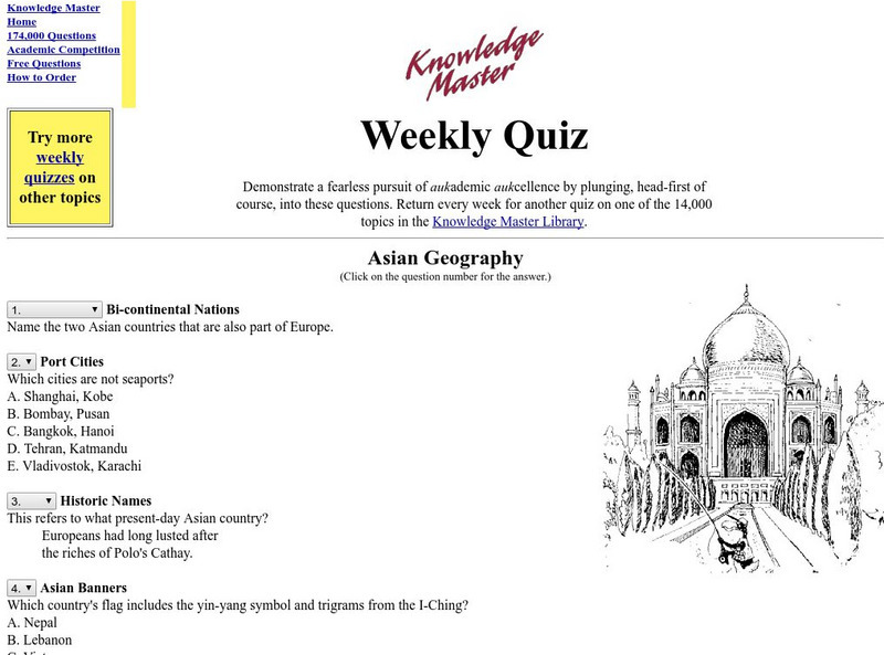
Knowledge Master Weekly Quiz: Asian Geography
This site offers thirty multiple-choice quiz questions about the geography of Asia. Answers are shown at bottom.
Fourmilab Switzerland
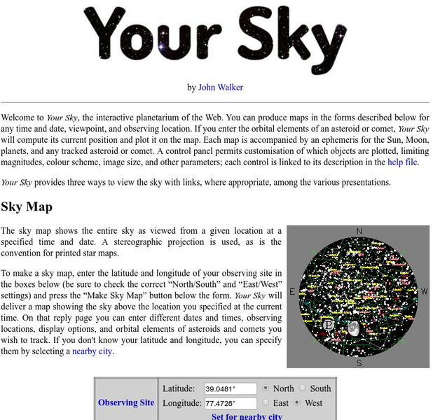
John Walker: Your Sky
You can produce sky maps for any date and time, viewpoint or observing location. See your sky map, horizon view, or track an asteroid or comet on this highly interactive site.
Museum of Science
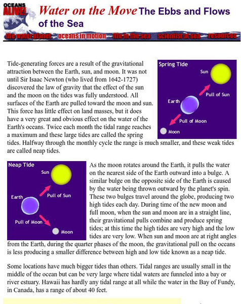
Museum of Science, Boston: Ebbs and Flows of the Sea
A simple one-page explanation of oceanic tides. Includes instructions for completing a tide-mapping activity.
University Corporation for Atmospheric Research
Ucar: Considering Flood Risk
Students analyze and interpret data on a map of floodplains to assess risk of flooding and inform decision making that will mitigate the effects of flooding.
US Department of Labor
Bureau of Labor Statistics: Engineers
Mining engineers are described here along with all other types of engineers. The report also gives prospective earnings and a prediction of the future of a career.
Alabama Learning Exchange
Alex: Land Surveying Project
This project resulted from of the collaboration of a computer aided drafting teacher, Chris Bond, and a math teacher, Lee Cable, (Hewitt-Trussville High School) to provide higher math expectations in CT and real life application in...
Shodor Education Foundation
Shodor Interactivate: Image Tool
Measure angles, distances, and areas in several different images (choices include maps, aerial photos, and others). A scale feature allows the user to set the scale used for measuring distances and areas.
TES Global
Blendspace: At Resources
This eleven-part learning module provides assorted assistive technology references. This blendspace provides reading and writing video, print, and audio resources that will help special needs students with their reading and writing.
Other popular searches
- Making Maps Geography
- Making Maps and Research
- Making Maps Using Technology
- Making Maps of History
- China, Making Maps
- Making Maps of Community
- Reading Making Maps
- Neigborhoods and Making Maps
- Making Maps Lesson Plans
- Making Map Scales
- Making Maps Usign Technology
- Making a Map Project
