Curated OER
Touchstones
Students locate monuments in their neighborhoods and sketch them. They are shown slides of two modern monuments, the Vietnam Memorial and the Holocaust Monument in Edgewood Park. They read the article in National Geographic, Vol. 167,...
Curated OER
Discovering the Oasis
Students focus on the types of vegetation and animal life living around local water sources. This lesson can be adapted to any local water source, whether it be a lake, a river, stream or ocean. It has a particular focus on the bird...
Curated OER
Weather and the D-Day Invasion
Students study the weather that occurred during the invasion of Normandy. They research using the Internet to locate information about the invasion and the meteorologists who helped during the war effort. They
Curated OER
My Wilderness Adventure
Students use a story starter and given questions to continue their adventure. They use the Internet and books to research about winter survival skills, how to find food, water and shelter in the snowy mountains and discover information...
Curated OER
Who We Are
Students analyze population data and trends in Canada over a given amount of time. As a class, they are introduced to the concept of dependency load and use a population pyramid to calculate the figure. Using the internet, they...
Curated OER
Owning a Pet
Fourth graders identify and use different forms of writing for various purposes. Using the internet, they read and gather information and write quesitons for their own investigations on the various pets they could own. They practice...
Curated OER
John Muir - Around the World in 76 Years
Sixth graders create timelines of John Muir's life while playing a game based on John Muir's travels. They discover that John Muir traveled around the world to compare and contrast natural phenomena and to speak out about preserving...
Curated OER
Cyber Vacation
Learners will look up information concerning their destination. The information should include their destination; the monetary system of the country; cost of hotels; airplane fares, etc. They look at ways to improve o searches as a...
Curated OER
The Effect of Tides & Elevation on Wetland Plant Communities
Students comprehend how tides can impact shoreline plant communities through the study of a freshwater tidal marsh. They use actual tidal data to show that tidal ranges differ among geographic locations, even those relatively close...
Curated OER
Foods and Languages of the World
Students create their own ice cream sundae given various toppings from around the world. In this foods and languages of the world diversity lesson, students develop an understanding of diversity in culture, family structure, ability and...
Curated OER
Completing University
Pupils analyze the pros and cons of completing a 4 year school. In this statistics lesson, students complete surveys and use E-STAT to graph their data. They learn to plot and build diagrams.
Curated OER
Australia
Sixth graders study the continent of Australia. In this Geography activity, 6th graders create an Australian city using their knowledge of Australian cities. Students participate in a game about the continent.
Curated OER
Hurricane Katrina Relief
Young scholars create a song about philanthropy. They work together to develop a list of ways to donate money. They choose an aid organization which helped victims of Hurricane Katrina to receive their donation. They reflect on their...
Science Buddies
Science Buddies: Making Species Maps
Conservation biologists know which places are important to protect. How nature guides know which animals can be found in which places, are made possible partly by conservation biology. This experiment allows you to discover how maps can...
Rice University
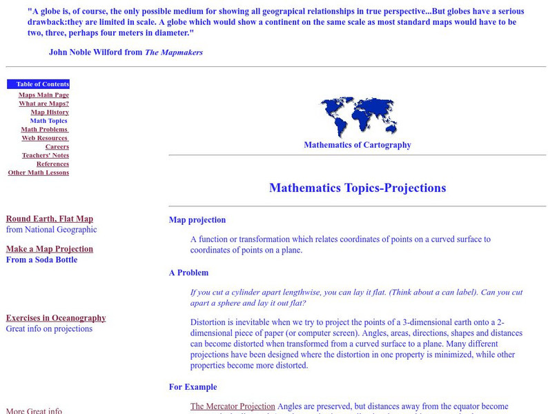
Rice University: Cynthia Lanius: Mathematics of Cartography: Projections
Understanding map projections is an important map-reading skill. Features graphics and links to examples of many different projections and an activity on making a Mercator projection.
University of Minnesota
University of Minnesota: Immigration: Projecting Maps, Making Representations
This resource compares four different world maps. The goals are to encourage critical thinking about maps as representations and to show how maps influence the ways in which one conceptualizes the world.
Other
Edte.ch: Maths Maps
Maths Maps is a collaborative project where participants use Google maps to choose a location within one of the cities highlighted, then create a Math problem about the site. The problems are marked on the map with various colors...
Science Buddies
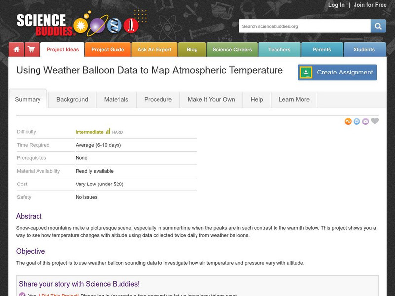
Science Buddies: Using Weather Balloon Data to Map Atmospheric Temperature
Snow-capped mountains make a picturesque scene, especially in summertime when the peaks are in such contrast to the warmth below. This project shows you a way to see how temperature changes with altitude using data collected twice daily...
Science Buddies
Science Buddies: Science Careers: Mapping Technician
Mapping technicians, also called surveying technicians, as their name suggests, use many different tools to make maps of many kinds. This Science Buddies site lays out the requirements needed to become a mapping technician, as well as...
TeachEngineering
Teach Engineering: Digital Mapping and Geographic Information Systems (Gis)
Geographic information systems (GIS), once used predominantly by experts in cartography and computer programming, have become pervasive in everyday business and consumer use. This unit explores GIS in general as a technology about which...
Other
Richard Phillips: Making Maps Easy to Read
This geography research project surveys factors that make maps easy to read and to use.
Rice University
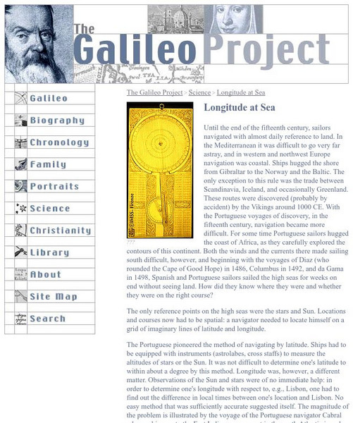
Galileo Project: Longitude at Sea
This site from the Galileo Project of the Rice University provides an in-depth look at the historic problems figuring out longitude. Links are provided throughout this article along with pictures, making this a great site to check out.
University of California
Us Geological Survey: Cartogram Central
The USGS offers detailed information on Types of Cartograms, Congressional Districts, Software for Cartograms, Publications, and a Carto-Gallery.
Geographypods
Geographypods: Theme 1: Population and Settlement
A rich collection of highly engaging learning modules on topics related to population and settlement. Covers six main areas - population growth, population change, population migration, land use, settlement characteristics and patterns,...


