Other
Richard Phillips: Making Maps Easy to Read
This geography research project surveys factors that make maps easy to read and to use.
Library of Congress
Loc: Zoom Into Maps
What can we learn from maps? How can we use maps? How can we best read maps? Find out the answers to these with detailed explanations of making the most of maps presented to us. Examples of historical, pictoral, miratory, etc. types of...
Curated OER
University of Texas: Mauritius: Political Map
This map of Mauritius from the Perry-Castaneda Collection shows the island of Mauritius in isolation as well as a map inset showing its location east of the mainland of Africa and an inset of one of the smaller islands making up the...
Curated OER
University of Texas: Bahamas: Political Map
Here you will find a map showing the many islands that make up the Bahamas. Click on the map to enlarge it. The several islands are named and the major cities are identified. From the Perry-Castaneda collection.
Curated OER
University of Texas: Vanuatu: Relief Map
A relief map of the several islands that make up the country of Vanuatu. An inset shows the islands in relation to others in the South Pacific. Clicking on the map will enlarge it. From the Perry Castaneda Collection.
Curated OER
University of Texas: New Caledonia: Relief Map
A relief map of the islands that make up New Caledonia. You can clearly see the mountainous terrain of the main island. You can also see the highways on the islands. Clicking on the map will enlarge it. From the Perry Castaneda Collection.
Curated OER
University of Texas: Nepal: Political Map
This political map of Nepal shows the many zones that make up the country. You can also find the major cities, roadways, and major trails that traverse the country. From the Perry-Castaneda Collection.
Curated OER
University of Texas: Philippines: Relief Map
This relief map of the Philippines from the Perry Castaneda Collection shows clearly the large number of islands that make up this country. An inset shows the Manila area.
Curated OER
University of Texas: Philippines: Political Map
See on this political map of the Philippines the series of islands that make up the archipelago. You can follow the Pan-Philippine Highway from the north at Laoag to the south at Zamboanga. From the Perry-Castaneada Collection.
PBS
Kqed: Quest: Education: Media Making Toolkit [For the Science Classroom]
A comprehensive guide to integrating media-making into a science classroom provides an engaging way for students to demonstrate knowledge and build 21st-century learning skills. Supplies tools for teachers to make science-based media,...
CK-12 Foundation
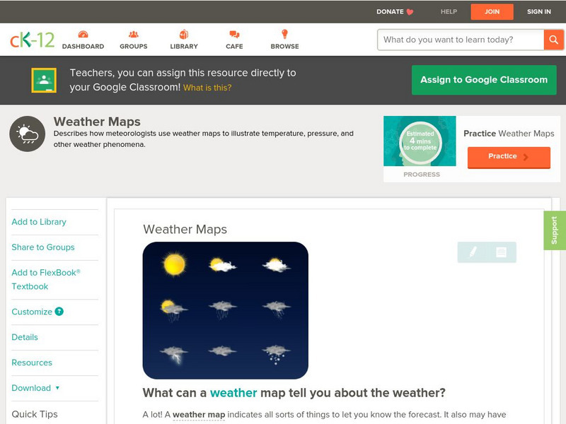
Ck 12: Earth Science: Weather Maps
[Free Registration/Login may be required to access all resource tools.] How meteorologists create and read weather maps.
National Weather Service
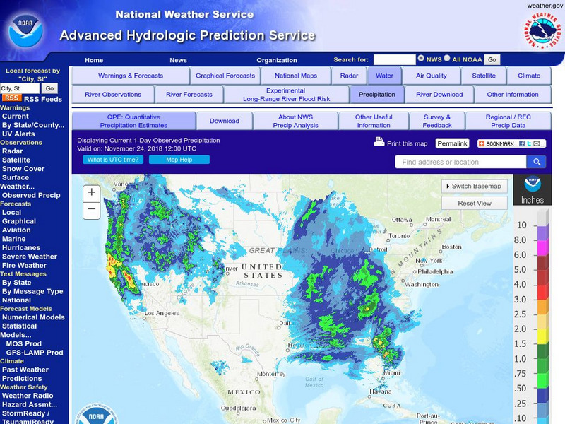
National Weather Service:climate Prediction Center: Daily Precipitation Analysis
Find real-time daily precipitation analysis for the United States, Mexico, and South America as well as accumulated precipitation maps for the past 30 or 90 days.
National Geographic
National Geographic: Map Maker Interactive and 1 Page Map Maker
This National Geographic feature allows visitors to create their own world maps complete with capitals, oceans, climate information, satellite view, personalized trail markings and more. Choose from a detailed color map or the second...
National Geographic
National Geographic: My Wonderful World: World Wall Maps (Pdf)
Make your own full color or black and white mosaic wall map on your own printer. World maps, continents, Asian regions, and oceans are available for downloading, printing, and assembling.
PBS
Pbs: Off the Map
There are artists around the world making wonderful creations in their own backyards. Come explore these "visionary" or "outsider" artists who create art out of everyday things.
Other
Stcc: Shays' Rebellion and the Making of a Nation
An extensive site that tells the story of Shay's Rebellion which took place after the Revolution in Massachusetts. Includes historic scenes, artifacts, documents, people, themes and essays, maps, songs and music, a timeline, and videos,...
Other
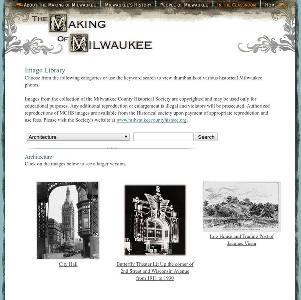
Milwaukee Public Television: The Making of Milwaukee: Historical Images
This is a library of historical images and photos of Milwaukee. The pictures are organized by category and include one for 'Lesson Activity Images'. There are also numerous historical maps.
Microsoft
Microsoft: Map Reading in the 21st Century
Learners learn how to make informed use of new digital mapping information and tools. Learners create hands-on learning experiences for understanding the relevance of maps. The lesson plan consists of student activities, resources,...
Curated OER
University of Texas: Map: Uae: Administrative Divisions
This map of United Arab Emirates labels the seven emirates that make up the federation. From the Perry-Castaneda collection.
Curated OER
University of Texas: Federated States of Micronesia: Small Political Map
Although small, this map of the Caroline Islands, whose country name is the Federated States of Micronesia, shows clearly the various islands that make up this group. From the Perry Castaneda Collection.
Curated OER
University of Texas: Papua New Guinea: Small Political Map
A small political map that clearly shows the islands that make up Papua New Guinea. From the Perry Castaneda Collection.
Other popular searches
- Making Maps Geography
- Making Maps and Research
- Making Maps Using Technology
- Making Maps of History
- China, Making Maps
- Making Maps of Community
- Reading Making Maps
- Neigborhoods and Making Maps
- Making Maps Lesson Plans
- Making Maps Usign Technology
- China Making Maps
- Neighborhoods and Making Maps


![Kqed: Quest: Education: Media Making Toolkit [For the Science Classroom] Website Kqed: Quest: Education: Media Making Toolkit [For the Science Classroom] Website](https://content.lessonplanet.com/knovation/original/245823-e730f67262f9a7f20ea974f3178b54ff.jpg?1661496315)
![Kqed: Quest: Education: Media Making Toolkit [For the Science Classroom] Website Kqed: Quest: Education: Media Making Toolkit [For the Science Classroom] Website](https://content.lessonplanet.com/knovation/original/246841-d486db05b9554a6d83889d2481c68ebc.jpg?1661803394)


