Curated OER
Washington, D.C. Map
Here is an outline map of Washington, DC. Some of the points of interest in the city are labeled, as are Maryland, Virginia and Arlington. There are plenty of important monuments and locations not identified, making for a good...
Other
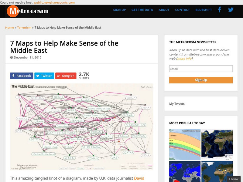
Metrocosm: 7 Maps to Help Make Sense of the Middle East
Keep up to date with the everchanging Middle East Region. The Middle East has been a tangled web of alliances since WWI. These maps attempt to make sense out of the this often confusing area. The 7 maps show the relationships among...
Curated OER
University of Texas: Mauritius: Political Map
This map of Mauritius from the Perry-Castaneda Collection shows the island of Mauritius in isolation as well as a map inset showing its location east of the mainland of Africa and an inset of one of the smaller islands making up the...
Curated OER
University of Texas: Bahamas: Political Map
Here you will find a map showing the many islands that make up the Bahamas. Click on the map to enlarge it. The several islands are named and the major cities are identified. From the Perry-Castaneda collection.
Curated OER
University of Texas: Vanuatu: Relief Map
A relief map of the several islands that make up the country of Vanuatu. An inset shows the islands in relation to others in the South Pacific. Clicking on the map will enlarge it. From the Perry Castaneda Collection.
Curated OER
University of Texas: New Caledonia: Relief Map
A relief map of the islands that make up New Caledonia. You can clearly see the mountainous terrain of the main island. You can also see the highways on the islands. Clicking on the map will enlarge it. From the Perry Castaneda Collection.
Curated OER
University of Texas: Nepal: Political Map
This political map of Nepal shows the many zones that make up the country. You can also find the major cities, roadways, and major trails that traverse the country. From the Perry-Castaneda Collection.
Curated OER
University of Texas: Philippines: Relief Map
This relief map of the Philippines from the Perry Castaneda Collection shows clearly the large number of islands that make up this country. An inset shows the Manila area.
Curated OER
University of Texas: Philippines: Political Map
See on this political map of the Philippines the series of islands that make up the archipelago. You can follow the Pan-Philippine Highway from the north at Laoag to the south at Zamboanga. From the Perry-Castaneada Collection.
National Weather Service
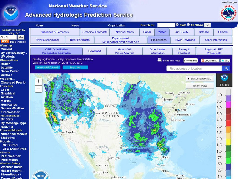
National Weather Service:climate Prediction Center: Daily Precipitation Analysis
Find real-time daily precipitation analysis for the United States, Mexico, and South America as well as accumulated precipitation maps for the past 30 or 90 days.
National Geographic
National Geographic: My Wonderful World: World Wall Maps (Pdf)
Make your own full color or black and white mosaic wall map on your own printer. World maps, continents, Asian regions, and oceans are available for downloading, printing, and assembling.
Curated OER
University of Texas: Map: Uae: Administrative Divisions
This map of United Arab Emirates labels the seven emirates that make up the federation. From the Perry-Castaneda collection.
Curated OER
University of Texas: Federated States of Micronesia: Small Political Map
Although small, this map of the Caroline Islands, whose country name is the Federated States of Micronesia, shows clearly the various islands that make up this group. From the Perry Castaneda Collection.
Curated OER
University of Texas: Papua New Guinea: Small Political Map
A small political map that clearly shows the islands that make up Papua New Guinea. From the Perry Castaneda Collection.
Annenberg Foundation
Annenberg Learner: America's History in the Making: Colonial Designs [Pdf]
Scroll down through this unit for teacher facilitators to Appendix E and F to find maps of colonial settlement in eastern North America in 1600 and 1660. From Oregon Public Broadcasting.
University of Oregon
Mapping History: Late Aegean Bronze Age
A key makes this map useful for locating cities and palaces of the Late Aegean Bronze Age (1250-1000 BC) and for understanding the extent of Mycenaean culture.
English Zone
English Zone: Reading a City Map 1
Practice reading information provided in map format. This website has a simple city map that you refer to when answering questions about various places located on the map. Choose the correct response for each multiple choice question and...
Curated OER
University of Texas: Afghanistan: Topography
A 1986 topographical map of Afghanistan from the Perry-Castaneda Collection. You can clearly see the mountain ranges, valleys, and passes that make up this mountainous country.
Curated OER
University of Texas: Nepal: Selected Ethnic Groups
An interesting map showing the several ethnic groups that make up Nepal. From the Perry-Castaneda Collection.
Curated OER
University of Texas: Iran: Ethnoreligious Distribution
This is a fascinating map of Iran showing the religious distribution of the Sunni and Shi'a sects of Islam. It also shows the many ethnic groups that make up this country. From the Perry-Castaneda Collection.
Curated OER
University of Texas: East Timor (Timor Leste)
A map of East Timor from the Perry-Castaneda Collection which shows East Timor which shares the island of Timor with Indonesia. The map makes clear the enclave of Oecussi which is part of East Timor.
NOAA
Noaa: Cpc: Hazards Assessment Brief
This Hazards Assessment from the Climate Prediction Center is intended to provide emergency managers, planners, forecasters and the public advance notice of potential hazards related to climate, weather and hydrological events. Check out...
Other
The Dalton School: Map of Trade Routes
This site is simply a map illustrating the trade routes in the First Century AD. Different colors depict the great empires of the time, making it easy to interpret.
CNN
Cnn: Ethnic Makeup of Afghanistan
A descriptive map of the ethnic makeup of Afghanistan. Shows all of the different groups of people that make up the country of Afghanistan.
Other popular searches
- Making Maps Geography
- Making Maps and Research
- Making Maps Using Technology
- Making Maps of History
- China, Making Maps
- Making Maps of Community
- Reading Making Maps
- Neigborhoods and Making Maps
- Making Maps Lesson Plans
- Making Maps Usign Technology
- China Making Maps
- Neighborhoods and Making Maps


