Microsoft
Microsoft: Map Reading in the 21st Century
Learners learn how to make informed use of new digital mapping information and tools. Learners create hands-on learning experiences for understanding the relevance of maps. The lesson plan consists of student activities, resources,...
Science Education Resource Center at Carleton College
Serc: Mn Step: Student Created Landform Maps With Glacial Emphasis
An activity where students work together to make topographic maps of a local park. The map must include a key and the grid locations of landforms in the park.
Science Education Resource Center at Carleton College
Serc: Mapping Your World
This activity serves as an introduction to mapping skills and the classroom. Students will create a map of the classroom, analyze and determine qualities that make a clear, concise map, then create a database of qualities they will use...
National Association of Geoscience Teachers
Nagt: Urban Planning 101: Map Appreciation
In this lesson students will begin by looking at a series of maps and they will brainstorm ways the natural world may interact with humans and vice-versa. Students will then come up with a list of features of a city or town, make...
National Association of Geoscience Teachers
Serc: Mapping Potato Island
In this hands-on activity, students make a topographic map to describe the shape of a potato. They will gain an understanding of how contour lines are used to describe the shape of the land surface.
Alabama Learning Exchange
Alex: Sonar Mapping of the Ocean Floor
Mapping the ocean floor must be done by indirect observation. One method involves bouncing a sonar signal off of the ocean floor and measuring the length of time this signal takes to return. This length can be translated into distance:...
Science Education Resource Center at Carleton College
Serc: Map and Compass Lab
Science Scope article presents an activity on topography and land masses that helps students learn about scientific inquiry. Students also practice making and interpreting scale drawings and learning about computation, estimation and new...
Cynthia J. O'Hora
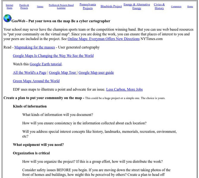
Mrs. O's House: Geo Web: Be a Cyber Cartographer
Take a close look at the resources provided and consider how students can put their school and/or community on the map. Discover cartography, virtual mapping, and points of interest in town or of the school.
ArtsNow
Arts Now Learning: Adventure Island [Pdf]
In this lesson, students will study examples of treasure maps and make a list of features and symbols. They will use their imaginations to create their own treasure maps and compose narratives to describe them.
Mariners' Museum and Park
Mariners' Museum: Education: Create a Globe [Pdf]
Simple instructions on how to make a globe using a pattern provided, scissors, glue, and a balloon. PDF
American Geosciences Institute
American Geosciences Institute: Earth Science Week: Gis and Careers
Students learn about GIS technology for solving problems and learn how employers seek workers who know how to make good decisions in a complex world.
Writing Fix
Writing Fix: An I Pod Inspired Writing Lesson: Oh, the Places You'll Go!
After listening to Van Morrison's "Days Like This" and Lee Ann Womack's "I Hope You Dance " and reading Dr. Seuss' Oh, the Places You'll Go! students will consider their choices in life. After asking students, "Who decides your lives are...
Science Education Resource Center at Carleton College
Serc: Getting to the Point: Exploring Tectonic Motion Point Reyes Seashore
The intent of this module is for students to make straightforward numerical calculations as they learn about earthquake geology at a National Park.
Science Education Resource Center at Carleton College
Serc: Litter Retriever With a Gps Receiver
Have you ever wondered why litter is in some locations and not others? You will use a Global Positioning System (GPS) to mark the locations of trash and trash cans around a local park or school campus, import the data into Google Earth,...
Alabama Learning Exchange
Alex: Arctic Adventures
During this lesson, learners will explore plant and animal life found at the Arctic Circle. They will also learn about the dangerously cold climate and the location of the Arctic Circle relative to the school's location on maps and globes.
HotChalk
Hot Chalk: Lesson Plans Page: Edible Geography
Students learn directional geography and the physical geography of a state by making an edible map using different objects to display the different geographical landmarks.
Library of Congress
Loc: Drake's West Indian Voyage 1588 1589
While studying early American exploration students will view the maps Sir Francis Drake used in his attacks of the Spanish in the New World. This lesson plan makes use of primary source maps to help the students learn how to analyze them.
Science Education Resource Center at Carleton College
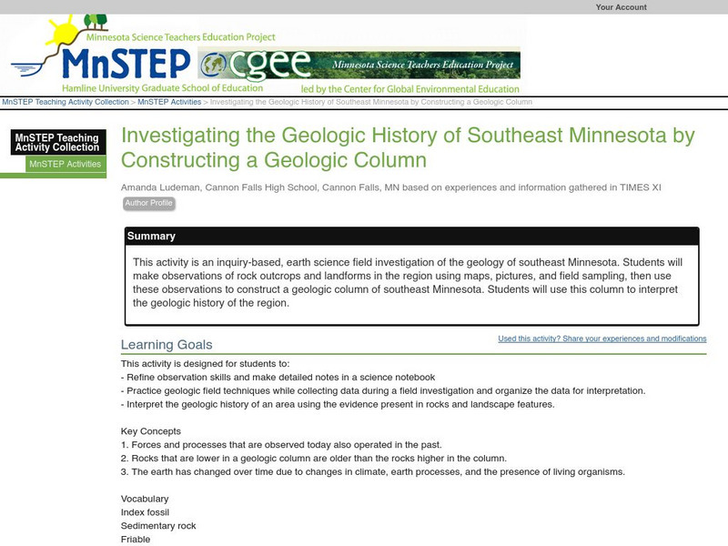
Serc: Investigating the Geologic History of Southeast Minnesota
This activity is an inquiry-based, earth science field investigation of the geology of southeast Minnesota. Students will make observations of rock outcrops and landforms in the region using maps, pictures, and field sampling, then use...
Science Education Resource Center at Carleton College
Serc: Is Greenland Melting?
An activity where students monitor the thickness of ice sheets found in Greenland by looking at photographs, map views, and tabular data. During this activity, students will make a conclusion to whether the ice sheets are melting.
Other
Statistics Canada: Add! Don?t Subtract! A Complete Count
In this learning activity from Statistics Canada, students will learn the value of census data when it is totaled and linked with different geographic regions. As part of this lesson, students will work with a neighbourhood map and...
Science Education Resource Center at Carleton College
Serc: A Data Rich Exercise for Discovering Plate Boundary Processes
This article in the Journal of Geoscience Education describes a classroom exercise based on four world maps containing earthquake, volcano, topographical and seafloor age data. Students participate in this exercise by using a "jigsaw"...
Science Education Resource Center at Carleton College
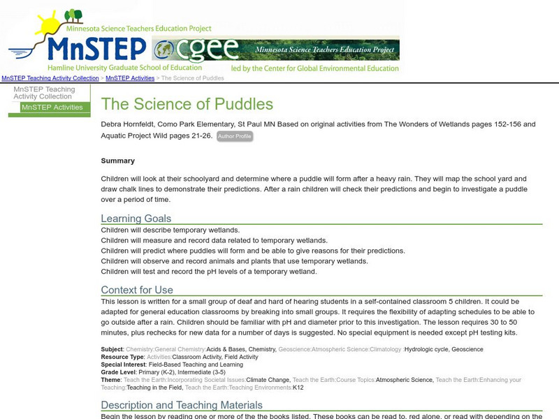
Serc: The Science of Puddles
Students will look at their schoolyard and determine where a puddle will form after a heavy rain. They will map the school yard and draw chalk lines to demonstrate their predictions. After a rain children will check their predictions and...
Science Education Resource Center at Carleton College
Serc: Visualizing Carbon Pathways
This instructional activity introduces students to visualization capabilities available through NASA's Earth Observatory, global map collection, NASA NEO and ImageJ. Students build several animations of satellite data that illustrate...
Other popular searches
- Making Maps Geography
- Making Maps and Research
- Making Maps Using Technology
- Making Maps of History
- China, Making Maps
- Making Maps of Community
- Reading Making Maps
- Neigborhoods and Making Maps
- Making Maps Lesson Plans
- Making Maps Usign Technology
- China Making Maps
- Neighborhoods and Making Maps


