Other
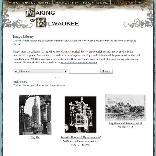
Milwaukee Public Television: The Making of Milwaukee: Historical Images
This is a library of historical images and photos of Milwaukee. The pictures are organized by category and include one for 'Lesson Activity Images'. There are also numerous historical maps.
Smithsonian Institution
National Museum of Natural History: Global Volcanism Program: This Dynamic Planet
Interactive activity that allows the learner to make their own regional map using layers of their choice such as volcanoes, craters, plate tectonics, or earthquakes. This map of the Earth zooms in and out, highlights essential processes,...
Science Education Resource Center at Carleton College
Serc: Investigating the Geologic History of Southeast Minnesota
This activity is an inquiry-based, earth science field investigation of the geology of southeast Minnesota. Students will make observations of rock outcrops and landforms in the region using maps, pictures, and field sampling, then use...
Annenberg Foundation
Annenberg Learner: America's History in the Making: Mapping Initial Encounters
Columbus' arrival laid the basis for encounters between Europeans, Native Americans, and Africans. This unit examines how these contacts altered the way of life of peoples around the globe.
Smithsonian Institution
National Museum of American History: West Point in the Making of America
Online part of a Smithsonian exhibit to honor the 200th anniversary of West Point, the site includes history, interactive maps, historical documents and artifacts.
University of Oregon
Mapping History: Late Aegean Bronze Age
A key makes this map useful for locating cities and palaces of the Late Aegean Bronze Age (1250-1000 BC) and for understanding the extent of Mycenaean culture.
Curated OER
History Matters: Making Sense of Documents
Designed to help teachers and students make effective use of primary documents. There are well written section on how to make sense of numbers, ads, music, diaries, and more. included are interactive activities for students to help them...
Annenberg Foundation
Annenberg Learner: America's History in the Making: Colonial Designs [Pdf]
Scroll down through this unit for teacher facilitators to Appendix E and F to find maps of colonial settlement in eastern North America in 1600 and 1660. From Oregon Public Broadcasting.
Other
In Pursuit of Freedom & Equality: Brown v. Board of Education of Topeka
Teachers and students can find a comprehensive summary of the Brown v. Board of Education of Topeka case. Learn about the myths and find out the truth. The activities offered are especially meaningful. Students can perform a...
Other
Illinois State Museum: At Home in the Heartland Online
Exhibit about family life in Illinois from 1700 to the present lets visitors experience the kinds of changes that an environment can undergo over several hundred years. Uses historical narratives, images of objects, timelines, maps, and...
Other
Do History: Martha Ballard's Diary Online
This site invites viewers "to piece together the life and world of an "ordinary" person from the past." The site boasts thousands of original documents that include diaries, maps, letters, and court records of a midwife from...
Curated OER
History Matters: Making Sense of Maps
Very detailed site from History Matters containing an explanation of how to read maps and understand them. An excellent resource for teachers. The site covers how to begin, how to use a scale, how to create a flat map for a round world,...
Other
The Dalton School: Map of Trade Routes
This site is simply a map illustrating the trade routes in the First Century AD. Different colors depict the great empires of the time, making it easy to interpret.
Pamela Seed
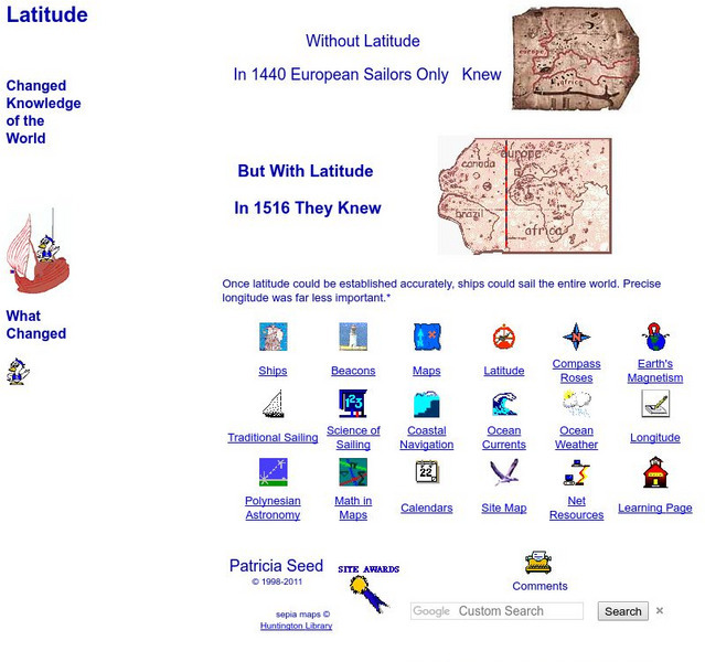
Rice: Latitude: The Art and Science of 15th Century Navigation
This is a great site to read about how navigation began in Europe and what tools were used. Make sure to read the segments on coastal navigation, maps, and ocean currents.
Texas State Historical Association
Texas State Historical Association: Notable Earthquakes Shake Texas [Pdf]
An activity guide where students refer to the Texas Almanac, which is free to download, for information needed to complete assigned tasks. In this instructional activity, they research earthquakes that have taken place in Texas, and the...
Curated OER
Map Showing Veracruz, Site of the French Invasion
Origins of this Mexican Holiday date back to the Battle of Puebla in 1862. This site explores the events that make this a special date in Mexican history.
Curated OER
History of Nova Scotia: The Founding of Halifax (1749)
A detailed description of the choice of creating a harbour and founding a town at Chebucto, later named Halifax. The description details how the area had been long used by the French and the Mik'Maq before them and how the British...
Curated OER
Map of New Mexico
Use this site to learn the history of the controversial creation of the atomic bomb in the United States. Sound clips from National Public Radio and a photo gallery help to give you a first hand experience of the making of the atomic bomb.
TeachEngineering
Teach Engineering: Weather and Atmosphere
In this unit, students learn the basics about weather and the atmosphere. They investigate materials engineering as it applies to weather and the choices available to us for clothing to counteract the effects of weather. Students have...
Curated OER
Latitude: The Art and Science of 15th Century Navigation
This is a great site to read about how navigation began in Europe and what tools were used. Make sure to read the segments on coastal navigation, maps, and ocean currents.
Curated OER
How Accurately Did They Know the World in 1516?
This is a great site to read about how navigation began in Europe and what tools were used. Make sure to read the segments on coastal navigation, maps, and ocean currents.
University of Washington
A Visual Sourcebook of Chinese Civilization [Pdf]
The goal of this "visual sourcebook" is to add to the material teachers can use to help theirstudents understand Chinese history, culture, and society. It was not designed to standalone; we assume that teachers who use it will also...
