Curated OER
Wacky Web Tales
Students study the parts of speech and then review them. They identify each part of speech and place them on a tree map. Then they visit a website to create a "Wacky Web Tale" using information from the tree map. They print their tales...
Curated OER
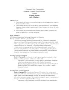
Friends in the Community
Second graders build a classroom community by getting to know each other better. They ask classmates various questions and use graphic organizer software and Microsoft PowerPoint. Students practice their oral language skills while asking...
Curated OER
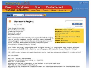
Research Project
Pupils learn the characteristics of arachnids by researching the arachnid of their choice and producing a 4 to 5 paragraph research paper.
Curated OER
Second Star To the Left and Straight On 'Till Morning" - Spreadsheet Driven Exploration of Pacific Asian Geography
Students explore the geography of Pacific Asia. The class is divided into two groups to participate in a role-play activity where they act as European explorers. Students utilize mathematics, spreadsheet and internet technology to make...
Curated OER
Tracking Armadillo's Journey
Students track a character's journey through different cities in Texas using the internet, a Promethean Board, and the educational program Keynote. This instructional activity is intended for upper elementary classrooms and includes a...
Curated OER
Getting Familiar with Fractals
Pupils use the Internet to answer lab questions about fractals, and then construct fractals using the initial stage and iteration rule. They complete tables and generate rules for the "nth" term and create their own fractals.
Curated OER
Our Country's Landforms
Students investigate the many different landforms that are found throughout the United States. They use the internet and other resources to gather information. The information is used to prepare a multimedia slideshow and to create a...
Curated OER
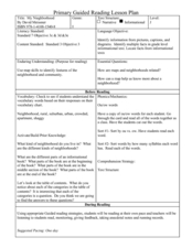
My Neighborhood:
Pupils act as tour guides for their communities after conducting research about their neighborhoods. After conducting research, students write stories and create maps of their communities to share with classmates and community members.
Curated OER
Twelfth Night: Thrusting Greatness Upon the Television 1
Students create skits based on pairs of words. In this Twelfth Night lesson, students create a cluster map in which they brainstorm a dialogue/scene based on their word pair. Students perform and record their scenes and discuss...
Curated OER
American History Through Architectural Masterpieces: Monticello
Students examine the life of Thomas Jefferson, explore great American landmark Monticello, discover relationships between climate, geographical factors, and time as to what kind of architecture was used, conduct research online, write a...
Curated OER
Discovering the World Virtually
Learners experience world adventures through the internet. In this technology lesson, students use a suggested internet site and explore each expedition. Learners can virtually travel such lands as China.
Curated OER
Volcanoes, Earthquakes, and Tsunamis
Students work in groups to research a tsunami, earthquake, or volcano. They use the internet to find information, and create a presentation. Each presentation should include a definition of their phenomenon, an illustration, three or...
Curated OER
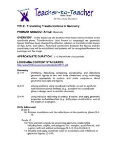
Translating Transformations in Geometry
High schoolers create an image using given coordinates and evaluate how the coordinates change when a slide or rotation takes place.
Curated OER
A Bird's Eye View of our 50 States
Third graders focus on state birds as they learned absolute location (latitude/longitude) of each state, as well as their relative location (bordering states).
Curated OER
Cultural Anthropology Study Using the Fundamentals of Geography and GPS
Students, in groups, operate the GPS unit, plotting each head stone with accompanying description. Two other students to log in data that corresponds to the given points. One student to note general observations
Curated OER
WEATHER SATELLITE PREDICTION PROJECT
Students compile weather satellite data from three satellites for one month, obtain weather reports and data from professionals, then create a document with predicted results.
Curated OER
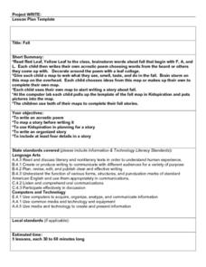
Fall
Students read "Red Leaf, Yellow Leaf" then they brainstorm words about fall that begin with the letters F, A, and L. They compose and decorate their own acrostic poem then they write a Fall story and complete a final copy in the computer...
Curated OER
Animal Trackers
Students use space technology to monitor migratory species, map their movements, and gather data about their habitats and possible responses to climatic shifts.
Curated OER
ZIPPLY Delicious Ice Cream
Second graders explore states of matter when they change a liquid to a solid. Working students make ice cream in a zip-lock bag.
Curated OER
Where In the World Are the Resources?
Students use the internet to research the amount of natural resources in a specific area on Earth. In groups, they locate the supply of each natural resource on a map in that area and what can be done to reduce their usage. They also...
Curated OER
When You're Hot, You're Not!!
Students investigate volcanoes. In this landforms lesson, students locate two volcanoes on a world map. Students compare and contrast the types of volcanoes by using various Internet sites.
Curated OER
Max Knows Mexicao, United States and Canada
Students utilize their map skills to explore the regions of North America. They explore the physical characteristics and climates of the regions. Students label their map and prepare a presentation of their findings.
Curated OER
Virginia's Five Geographic Regions
Tenth graders study the products and industries of five major geographic regions in Virginia. They use web based resources to examine maps of Virginia and to make a large classroom map which they label with the products and industries....
Curated OER
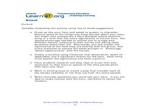
Heroes and Their Characteristics, Past and Present
Students create a PowerPoint presentation. For this Internet research and technology lesson, students pick a hero to research on the Internet. After conducting research, they create a PowerPoint presentation on the hero of their choice.

