Curated OER
Patchwork of the Planet
Students are taught how satellite images can be joined to make a picture mosaic. They use actual satellite images to make satellite mosaics regions of the United States. Students use a camera to photograph portions of a globe in the...
Curated OER
Our Monster Travels...
Students write emails to their parents and locate specific places on a map. In this email lesson, students email their parents from the teacher's account and map locations of their parents.
Curated OER
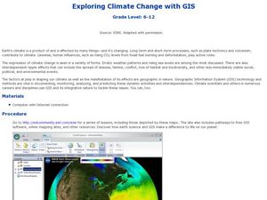
Exploring Climate Change with GIS
Students investigate climatological changes that are occurring to the Earth. In this climate change lesson, students access an assigned web site to view maps and lessons that show how climate change makes a difference to life on Earth.
Curated OER
Rivers And Capitals
Pupils become familiar with the use of GIS for research and become aware of the importance of rivers to cities. They also analyze the placement of cities and learn the names of rivers in the United States.
Curated OER
Indiana Tornado Project
Young scholars become familiar with the use of GIS for research, natural phenomena in Indiana, and analyzing collected information.
Curated OER
Sarah, Plain and Tall
Third graders experience what life was like during era in which "Sarah, Plain and Tall depicts using modern technology.
Curated OER
On the Surface
Students draw and label the 15 major rivers in Texas. They then draw and label another map with the major lakes and reservioirs of Texas. Students use the maps and locate and label the location of the following major Texas cities:...
Curated OER
Star Patterns
Third graders create constellation maps and record their own legends of how constellations came into existence. After observing the sky at night, 3rd graders discuss star maps, read previously recorded legends on the origin of stars. ...
Curated OER
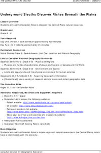
Underground Sleuths Discover Riches Beneath the Plains
Students identify Alberta, Saskatchewan, and Manitoba on map, and use Canadian Atlas to locate regions of natural resources in Central Plains, which have vital impact upon the economy. Students then complete scavenger hunt worksheet.
Curated OER
Wisconsin Snapshots
Fourth graders study Wisconsin's culture and heritage. They research the state's symbols and identify leaves common to the Wisconsin area. They create a leaf booklet and visit the state park. They visit local farms and create nature maps...
Curated OER
Our State Road Trip
Students take a virtual tour of the country of China instead of a state. Using the Internet, they examine the differences between a political and physical map and use latitude and longitude to locate specific places. They also research...
Curated OER
Wright Brothers Centennial: North Carolina, Creation and Development of the State
Eighth graders examine technological advances and how they influenced the quality of life in North Carolina. Using maps, they locate the city of Kitty Hawk and discuss why it was chosen for the first flight. They read primary source...
Curated OER
Travel Brochure/ Itinerary
Students create a travel brochure and a 7-day itinerary by selecting a country of their choice. They utilize educational software and use word processing to finish their product.
Curated OER
Dino Hunt
Students use the Internet to gather information about dinosaurs. They practice navigating through webpages and following directions. They define important vocabulary and practice making a KWL chart.
Curated OER
Animaters and Lego Mania!
Students use various technology elements to storyboard and create an animal animation story based on a nonfiction story they've read. In this animation story lesson, students work in groups and read nonfiction animal stories. Students...
Curated OER
Ocean Floor
Students identify ocean floor features. For this earth science lesson, students predict the object inside a close box to make them realize the difficulties scientists faced then. They label the different zones of the ocean floor after...
Curated OER
Travel Brochure/ Itinerary
Students create a travel brochure and a 7-day itinerary by selecting a country of their choice.
Curated OER
Possible Locations
Students create maps with cutout pieces of paper that represent caverns. They develop a scale for their map and decide where the best location is to live. They discover the importance of map reading skills.
Curated OER
My Country, Your Country
Fifth graders read a story about a girl living in Tokyo. Using the Internet, they research Japan while noting its unique characteristics. They virtually connect with a classroom in Japan and share information about their school with them.
Curated OER
Satellite Images- Night Time
Fourth graders study the geography and population distribution of various places on earth. They utilize actual satellite images of the night sky (lights showing heavily around area of dense population) to study and make observations...
Curated OER
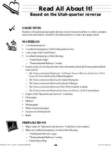
Read All About It
Students investigate the concept of conducting research to create a newspaper. They use tools of research to gather information. The information is interpreted while working in small groups. Then the groups write articles that can be put...
Curated OER
Probability
Fourth graders predict future outcomes with an investigation of the mathematical principle of probability using spinners constructed by them. The spinner is a hands on application an they combine it with writing a ratio for the...
Curated OER
Our National Parks
Students create a report about State or National Parks. The research is done on the Internet in order to integrate technology into the curriculum. Students also produce a newsletter about their findings.
Curated OER
My Neighborhood: A Webquest
Students engage in a Webquest to discover their school and community. They interview staff members of the school, create maps and take digital photographs of the school. As they write about their school, they use Microsoft Word to...


