Hi, what do you want to do?
Curated OER
A Whole New World
Students examine a timeline of a sequence of events displaying how the colonies were founded. They analyze Jamestown and Plymouth recruitment posters, write journal entries, and play a Jeopardy game with questions about the colonies.
Curated OER
Fourth Grade Social Studies Quiz
In this social studies worksheet, 4th graders complete multiple choice questions about the colonies, The Boston Tea Party, Native Americans, and more. Students complete 15 questions.
Curated OER
Militia of the American Revolutionary War
Students explore the role of the colonial militia n the American Revolutionary War. Using traditional and internet resources, students, complete a research worksheet designed to provide information about the militia. Worksheet is...
Curated OER
Practical Experiment in Colonization
Students examine the effects that cultural background and specific historical events have upon the development of a colony. They research the colonies to design their own.
US Citizenship and Immigration Services
Thanksgiving 2—The Pilgrim Story and My Immigrant Story
The tradition of the First Thanksgiving is really a story of immigration. Connect the feelings and customs of the early Pilgrims to the experiences of the immigrants in your class with an introduction to the 13 colonies, the Mayflower,...
Curated OER
Jackie Steals Home
Students read articles relating to Jackie Robinson's breaking of the racial barrier in professional baseball. This leads to a deeper exploration of racism in the United States. They use a variety of worksheets imbedded in this plan to...
Curated OER
First Nations vs. Euro-Americans
Students analyze primary and secondary source documents to help them describe the cooperation and conflict that existed among the American Indians and new settlers. Then, students analyze the purpose, challenges, and economic incentives...
Curated OER
Triangular Trade and Its Effects
Students investigate the trade routes and investigate goods and services were transported along each route. Given a primary source document, that represents a personal story related to the triangle trade, they discuss given questions.
Curated OER
Happy Endings: The Final Battle
Fifth graders explore all the myths of the battle of Yorktown. A variety of primary documents are viewed and analyzed for discussion. They become aware that what one sees and hears is not always as it seems in reality. Each group...
Curated OER
Pilgrims: The First Americans
Fifth graders become familar with the pilgrims and first Thanksgiving through essays about important people of the time. In this Thanksgiving lesson, 5th graders choose an important figure from the time of the Pilgrims and write a...
Curated OER
Social Studies Quiz B-Grade 4
In this grade 4 social studies quiz worksheet, 4th graders complete a 15 question multiple choice quiz covering a variety of grade 4 concepts.
Curated OER
South Carolina Responds
Students examine and explain the events that lead up to the Revolutionary War. In this Revolutionary War instructional activity, students summarize and evaluate several of the major battles that defined the Revolutionary War.and major...
Curated OER
Choosing Sides: The Native Americans' Role in the American Revolution
Students analyze the different roles assumed by various Native American tribes during the American Revolution. They examine the issues involved for Native Americans in choosing the British or the American side of the conflict, such as...
Curated OER
Fort at No. 4 History
Students examine the history of Fort No. 4 in New Hampshire before visiting the site. They identify key events and people that occured at the fort as well. They complete questions and teach them to their group.
Curated OER
VS.3c
Students examine the settling of the Jamestown settlement and the importance of the Virginia Company of London. Students actively engage in various role-playing activities
Curated OER
Korean War
Students identify and interpret general information about the Korean War, including important dates, terms, events, and participants. They also identify what the Cairo Declaration was and what military forces, political forces, and...
Annenberg Foundation
Annenberg Learner: United States History Map: Colonists
Use these interactive maps to see and read about the colonization of the New World by several European nations. When you are finished looking at the maps, test your skills with the European Colonies Challenge.
Annenberg Foundation
Annenberg Learner: America's History in the Making: Colonial Designs [Pdf]
Scroll down through this unit for teacher facilitators to Appendix E and F to find maps of colonial settlement in eastern North America in 1600 and 1660. From Oregon Public Broadcasting.
National Humanities Center
National Humanities Center: Toolbox Library: Rivalry Iii, American Beginnings: 1492 1690
Two maps of English and French rivalries in North America, and two side-by-side accounts of the English and French perspectives on King William's war over power, trade, and economic dominance of the continent.
National Humanities Center
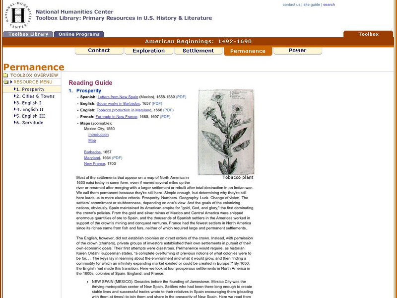
National Humanities Center: Toolbox Library: Prosperity, American Beginnings: 1492 1690
Four original source accounts, and four related maps, of successful English, French, and Spanish settlements in North America and the Caribbean that explain the qualities of these settlements and their reasons for permanence and prosperity.
National Humanities Center
National Humanities Center: Toolbox Library: The Spanish, American Beginnings: 1492 1690
Two maps and four accounts of the Spanish exploration of North America that reflect the goals of the conquistadors and fascination with the land they examined-and the brutality of their treatment of native peoples.
Curated OER
Educational Technology Clearinghouse: Maps Etc: Intercolonial Wars, 1689 1713
A map of eastern colonial North America showing the struggle for supremacy between England, France, and Spain in the region, from the King William's War (1689-1692) to Queen Anne's War (1702-1713), a period also known as the...
Curated OER
Etc: Maps Etc: British Colonies After the French and Indian War, 1764
A map of the eastern portion of North America showing the British, Spanish, and Indian territories after the French and Indian War (1754-1763), with the proclamation line as established by the Treaty of Paris (1763). "The newly acquired...
National Humanities Center
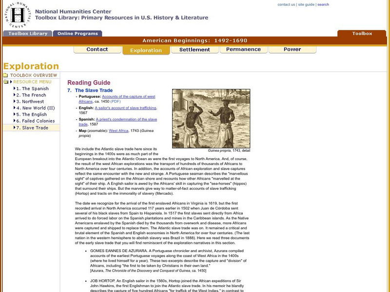
National Humanities Center: Toolbox Library: Slave Trade, American Beginnings: 1492 1690
A West African map and three accounts of the development of slave acquisition display the process and the brutality of the Atlantic slave trade.


![Annenberg Learner: America's History in the Making: Colonial Designs [Pdf] Graphic Annenberg Learner: America's History in the Making: Colonial Designs [Pdf] Graphic](https://static.lp.lexp.cloud/images/attachment_defaults/resource/large/FPO-knovation.png)


