Other
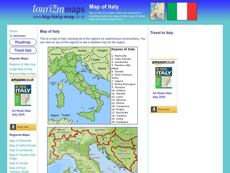
Tourizm Maps: Map of Italy
A map of Italy labeling the country's 20 different regions. Click on any region to get a full scale map of that specific area.
University of Texas at Austin
University of Texas: Historical Maps of Italy
Review these two maps of Italy during the Renaissance from the Perry Castaneda Collection. Zoom in to see the details of a map of the Milanese under the Visconti and one of the Republic of Florence.
Other
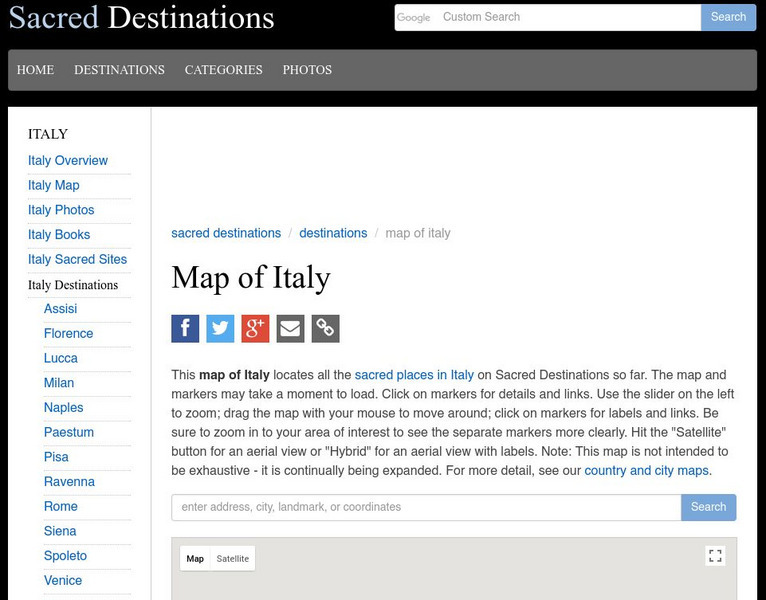
Sacred Destinations: Cities of Italy Map
Use this interactive map of Italy to take a virtual tour of the major cities and sights found in Italy. Click on any of the hotspots to get pop-up facts and photos.
Other
The World of Dante: Map Images
Interactive map images from Dante's "Inferno." With reproduced maps of Italy from the time of Dante's life (1300s).
United Nations
Unesco: Interactive Map of the Cities Along the Silk Roads
A map showing the locations of cities that participated in trade along the Silk Roads, stretching from Italy to Japan. Each red dot is provides information about the location and links to a UNESCO page with more in-depth information...
Franco Cavazzi
Roman empire.net: Roman Empire Map
This site from Roman-Empire.net provides an interactive map of the Roman Empire. The expanse of the empire can be viewed by dates. The site can be searched by Provinces, Territories, Tribes, Towns, Cities, or Barbarian Incursions.
Curated OER
Educational Technology Clearinghouse: Maps Etc: Italy, 1909
A map of Italy in 1909, prior to the resolution of the Italian Irredentist Movement to unite the territories of ethnic Italians. This map shows the territories of Tyrol, Istria, and Dalmatia under Austria-Hungary Empire rule, Corsica...
Curated OER
Educational Technology Clearinghouse: Maps Etc: Italy, 1815 1871
A map of Italy between 1815 and 1870 subtitled "The Struggle for Unity." The map is color-coded to show lands acquired & ceded during this period, with an inset map showing dates of annexation to the Kingdom of Sardinia (Kingdom of...
Curated OER
Educational Technology Clearinghouse: Maps Etc: Italy, 1919
A map of Italy in 1919, however, it shows the Italian provinces prior to the resolution of the Italian Irredentist Movement to unite the territories of ethnic Italians under the London Pact of 1915. This map shows the territories of...
Curated OER
Educational Technology Clearinghouse: Maps Etc: Italy, 1918
A map of Italy in 1918, however, it shows the Italian provinces prior to the resolution of the Italian Irredentist Movement to unite the territories of ethnic Italians under the London Pact of 1915. This map shows the territories of...
Curated OER
Educational Technology Clearinghouse: Maps Etc: Italy, 1920
A map of Italy in 1920 showing important cities, railways, and submarine cables, and the territories of Trento, Trieste, Istria, and coastal Dalmatia claimed by Italy under the London Pact (1915).
Curated OER
Educational Technology Clearinghouse: Maps Etc: Italy, 1920
A map of Italy in 1920 showing important cities, railways, and submarine cables, and the territories of Trento, Trieste, Istria, and coastal Dalmatia claimed by Italy under the London Pact (1915).
Curated OER
Educational Technology Clearinghouse: Maps Etc: Italy, 1872
A map of Italy in 1872 showing the provinces of Piedmont, Lombardy, Venetia, Amilia, Republic of San Marino, Tuscany, Marches, Latium, Naples, Calabria, Sicily, and Sardonia. This map shows major cities, rivers, mountain systems, and...
Curated OER
Educational Technology Clearinghouse: Maps Etc: Italy, 1910
A map of Italy in 1910, color-coded to show the larger compartimenti (provinces) prior to the resolution of the Italian Irredentist Movement. This map shows the territories of Tyrol, Istria, and Dalmatia under Austria-Hungary Empire...
Curated OER
Educational Technology Clearinghouse: Maps Etc: Map of Italy, 275 b.c.
A map of Italy after 275 B.C. showing the extent of Roman control of the peninsula, and the Carthaginian control of Sicily, Sardinia, and Corsica before the Punic Wars. This map shows the Appian Way between Rome and Brundisium, important...
Curated OER
Educational Technology Clearinghouse: Maps Etc: Italy, 1914
A map of Italy in 1914 showing major cities, towns, ports, railways, coastal features and rivers. The map includes insets detailing Rome, Bay of Naples, and Venice, and a reference key to Compartments and principal cities and towns.
Curated OER
Educational Technology Clearinghouse: Maps Etc: Italy, Ad 525
A map of Italy at the time of Ostrogoth rule under Theodoric the Great (AD 454-526) after the fall of the Western Roman Empire. This map shows the extent of the Kingdom of the Ostrogoths, Kingdom of the Vandals (Corsica and Sardinia),...
Curated OER
Educational Technology Clearinghouse: Maps Etc: Italy, 16th 18th Century
A map of Italy in the 16th through 18th centuries, color-coded to show the territories of Piedmont, Saluzzo, Monteerrat, Milan, Genoa, Milan, Venice, Mantua, Parma, Modena, Tuscany, Papal States, Istria, Dalmatia, Naples, Sicily,...
Curated OER
Educational Technology Clearinghouse: Maps Etc: Italy, 343 263 Bc
Map of Italy, from the beginning of the Samnite Wars (343 BC) to the beginning of the Punic Wars (264 BC). The map is color-coded to show portions of the Liguria, Gallia, Venetia, and Istria territories in the north, the Carthaginian,...
Curated OER
Educational Technology Clearinghouse: Maps Etc: Italy, 1904
A geo-political map of Italy showing country and region borders current to 1904, major cities, railroad lines, and navigable rivers. Physical features include mountain ranges with elevation measured in feet, major rivers and watersheds,...
Curated OER
Educational Technology Clearinghouse: Maps Etc: Italy, 1600
Map of Italy at the end of the 16th Century showing the territorial boundaries and claims on the peninsula, islands, and northern regions, important cities of the time, rivers, and coastal features. This map is color-coded to show the...
Curated OER
Educational Technology Clearinghouse: Maps Etc: Italy, 1920
A map of Italy, with close-ups of Rome, Venice, and Naples inset.
Other popular searches
- Blank Map of Italy
- Italy Outline Map
- Choropleth Map of Italy
- Choropleth Map for Italy
- Physical Map of Italy
- Landforms Map of Italy
- Worksheet Map of Italy
- Printable Map of Italy
- Outline Map of Italy
- Primary Map of Italy
- Italy Map
- Unification of Italy Map


