Texas Instruments
Texas Instruments: Map It!
In this activity, students explore map making. Students' read a story, identify the locations of different places in the story, decide the distance between each set of places in the story, and create a map with a legend.
A&E Television
History.com: How Portugal's Seafaring Expertise Launched the Age of Exploration
In the 15th century, a small kingdom with a population of approximately 1 million launched the era of maritime exploration that would transform the world. Portugal turned to the boundless Atlantic Ocean as its only outlet to the wider...
Library of Congress
Loc: History of Railroads and Maps: Railroad Maps 1828 1900
This history of the American railroad from the Library of Congress also provides an understanding of how maps and mapmaking were so closely related to the growth of our railway system.
Alabama Learning Exchange
Alex: Topography of Fruit
This is an attempt to help students understand contour lines in map-making through the vector of digital photography. This hands-on activity will create an art piece out of fruit that will be analyzed to create topographic maps.
Social Studies for Kids
Social Studies for Kids: Latitude and Longitude
A collection of latitude and longitude mapping activities ranging from pin-pointing exact locations on the globe to researching the history behind this basic geography concept.
City University of New York
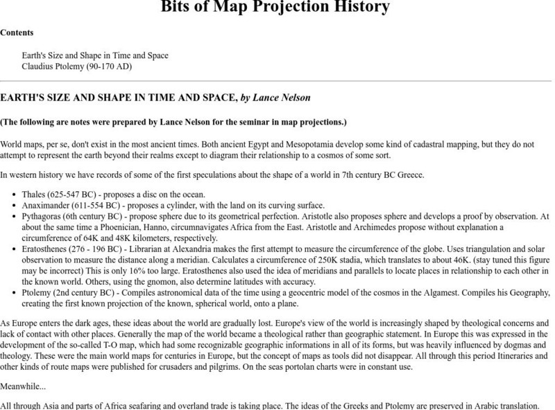
Map Projection Basics: Bits of Map Projection History
Surveys the ideas of Claudius Ptolemy (90-170 AD) in regard to the shape of the world and his influence on the history of mapmaking.
Smithsonian Institution
National Museum of Natural History: Lewis and Clark Mapping the West
Understand the importance of the mapping done by Lewis and Clark as you work through these learning exercises and learn mapmaking skills yourself.
University of Oregon
University of Oregon: Interactive Nolli Map of Rome: 1748 Map of Rome
Interactive Nolli Map introduces students to Rome and the structure of its urban form based on the work of eighteenth-century Italian architect Giambattista Nolli. Using the map engine, navigate through the city at a variety of scales,...
US Department of Labor
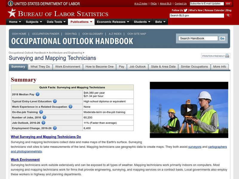
Bureau of Labor Statistics: Surveyor
This site will explain what Surveyors, Cartographers, Photogrammetrists, and Surveying Technicians do for a living. It explains everything you would want to know.
Other
Annenberg Center: The Re Districting Game
Could mapmakers truly hold the fate of elections in their hands when it comes to shaping voting districts? This interactive site is designed to educate and allow users to become a virtual district mapmaker.
NOAA
Noaa: National Ocean Service Education: Global Positioning Tutorial
Illustrated tutorial explains the history and science of geodesy. Animations help students visualize how scientists measure and monitor the size and shape of the Earth and the location of points on its surface.
National Geographic
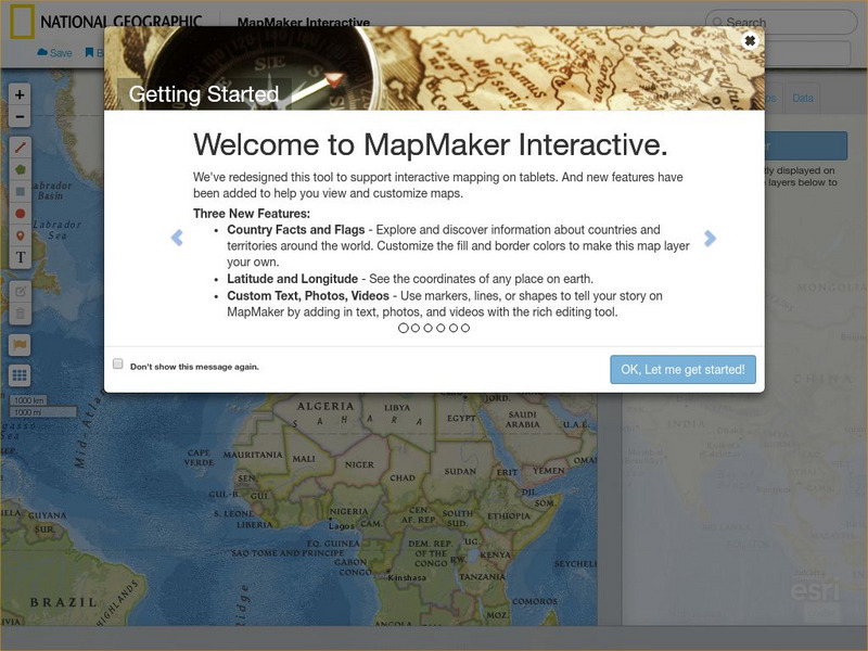
National Geographic: Map Maker Interactive and 1 Page Map Maker
This National Geographic feature allows visitors to create their own world maps complete with capitals, oceans, climate information, satellite view, personalized trail markings and more. Choose from a detailed color map or the second...
National Library of France
National Library of France: The Unknown Sea
An image-rich exposition of visual art that takes the sea as its a theme. Mythology, fantasy, mapmaking, and the history of sailing and marine exploration are all investigated as are fears about the ocean's power, puzzling beliefs about...
TeachEngineering
Teach Engineering: Nidy Gridy
Normally we find things using landmark navigation. When you move to a new place, it may take you awhile to explore the new streets and buildings, but eventually you recognize enough landmarks and remember where they are in relation to...
PBS
Quest: Science Based Google Maps
Take a journey with your students during science class without your students ever leaving their seat! This website includes how to integrate maps into your curriculum, good content for map making, and what can be included in a map. Also...
Library of Congress
Loc: Civil War Maps: History of Mapping the Civil War
A detailed, thorough account of commercial map making during the Civil War. Site contains a propaganda map for the Anaconda Plan, encircling the South.
Rice University
Rice University: Cynthia Lanius: Mathematics of Cartography
Can there be a connection between map making and math? Explore the mathematics of cartography in this resource that integrates web-based instruction, mathematical problem solving, geometry, history, and art. Interesting information and...
US Geological Survey
Geographic Information Systems
This is an extensive resource explaining what Geographic Information Systems (GIS) are, how they work, applications of GIS, and GIS through history.
George Mason University
George Mason University: World History Sources: Maps
Learn about the history of maps, what makes a map a map, and why bother with maps. Get answers to many different map questions and much more.
National Endowment for the Humanities
Neh: Edsit Ement: Mapping Our Worlds
In this lesson, introduce your learners to the world of maps and discover a world of information online. Students learn how to identify different types of maps, comparing maps to the rooms of a house.
Other
Valparaiso University: Carl Ritter
This site from the Valparaiso University provides information on Carl Ritter and Alexander von Humboldt, two famous geographers.
Can Teach
Can Teach: Creating an Edible Map
This imaginative lesson uses food products to demonstrate the physical characteristics of maps.
TOPS Learning Systems
Top Science: Treasure Map [Pdf]
An activity where students construct a 3-D scene using lentils and props, and bury a coin in it. They then create a map showing the location of the buried coin. This lesson from TOPScience gives clear instructions on how to use this...
Other popular searches
- Making a Map
- Making Life Map
- Making a Neighborhood Map
- Making Map Scales
- Making Topographical Map
- Making a Map Project
- Making a Classroom Map
- Making a Map Scale
- Making a Map Boston
- Making a Treasure Map
- Making a Map Vosstown
- Making a Mental Map


