Hi, what do you want to do?
Curated OER
Educational Technology Clearinghouse: Maps Etc: Africa, 1897
Map of Africa in 1897 showing European colonial possessions and spheres of influence, and the independent territories at the time. The map is color-coded to show the areas controlled by the British, French, German, Turkish, Italian,...
Curated OER
Educational Technology Clearinghouse: Maps Etc: The Story of Africa, 1912
A stylized relief map of Africa, showing the Sahara, major rivers and lakes, mountains, "wild country," and other features. The Sahara is labeled as "The Great Desert that No Man Could Cross." with pyramids and temples drawn along the...
Curated OER
Educational Technology Clearinghouse: Maps Etc: Pre Colonial Africa, 1885
A map of the African continent prior to the Berlin Conference of 1885, when the most powerful countries in Europe at the time convened to make their territorial claims on Africa and establish their colonial borders at the start of the...
Curated OER
Educational Technology Clearinghouse: Maps Etc: Post Wwi Northern Africa, 1920
A political map of the northern part of the African continent after WWI with reference to territories controlled by European countries and showing the former German territories ceded by the Treaty of Versailles to France and Britain....
Curated OER
Etc: Maps Etc: Countries, Districts, and Provinces of Africa, 1914
A map of the African continent in 1914 showing the European possessions at the time.
Curated OER
Educational Technology Clearinghouse: Maps Etc: Russia, 1920
A map from 1920 of western Russia showing the political divisions within the country at the time. The map is color-coded to show the boundaries of European Russia, including the territories of Finland, the Baltic Provinces, Poland, White...
Curated OER
Etc: Colonization of North Western Africa, 1845 1900
Map of Northwestern Africa, subtitled "French Colonization." This map shows the Barbary States of Morocco, Algeria, and a portion of Ottoman controlled Tripoli. The map is color-coded to show the progression of French occupation in...
Curated OER
Etc: Maps Etc: The Great Powers and Imperialism in China, 1919
A map of China from 1919 showing the territorial possessions claimed in the country under European and Japanese imperialism after the Treaty of Shimonoseki (1895) between Japan and China, and the Conference of Paris, or Paris Peace...
Curated OER
Educational Technology Clearinghouse: Maps Etc: Colonial Georgia, 1732 1763
A map of Colonial Georgia, showing the proclamation line of the original United States established at the end of the American Revolutionary War in 1763, the boundary when Georgia was established from the Carolinas as a buffer between the...
Curated OER
Etc: Maps Etc: Old Claims in the Present Territory of the United States, 1763
A map of the present day territory of the United States, showing the European claims to the land before 1763 and the end of the French and Indian Wars. The map shows the claims of the British, French, and Spanish, and shows the...
National Geographic Kids
National Geographic Kids: Find People and Places: Italy
Click-through facts-and-photo file about the geography, nature, history, people, culture, and government of Italy. Includes a map of this Western European country that pinpoints the location of this boot-shaped peninsula.
Curated OER
Map of Portugal
BBC News features an interesting account of the European country of Portugal in the Iberian Peninsula. Includes a brief history, current information, profile of leaders, timeline of key events, and description of local media. Links to...
Nations Online Project
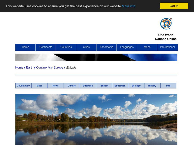
Nations Online: Estonia
Great reference source that takes you on a virtual trip to the Eastern European country of Estonia. Background overview is given on its art, culture, people, environment, geography, history, economy, and government. There are numerous...
ClassFlow
Class Flow: European Capitals Quiz
[Free Registration/Login Required] Using the Activote system, students will look at a map of Europe to identify the country and then select that country's capital city. There are 28 questions.
Nations Online Project
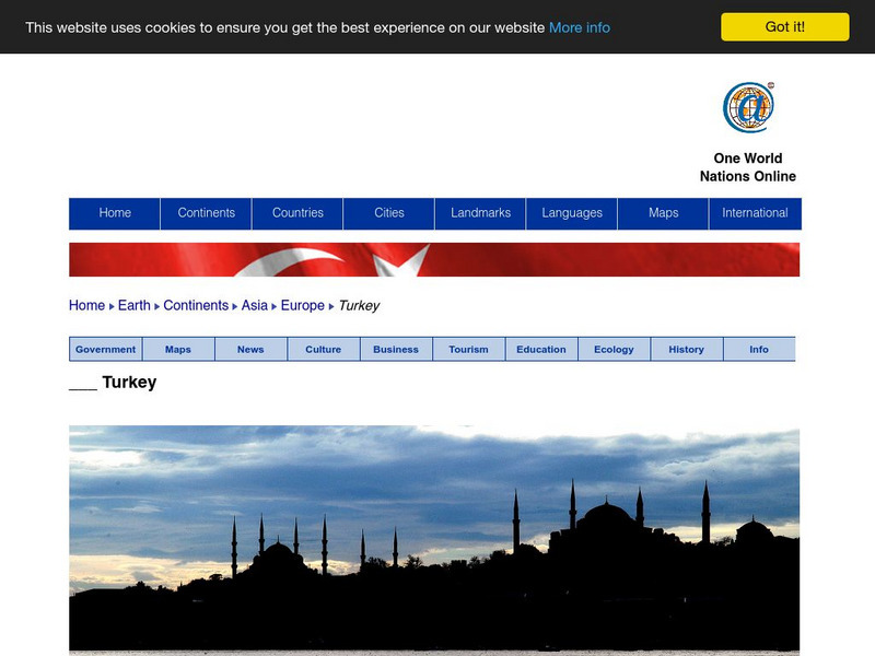
Nations Online: Turkey
Presents a travel guide and country profile of the European nation of Turkey including a background overview and numerous links to comprehensive information on the nation's culture, history, geography, economy, environment, population,...
Nations Online Project
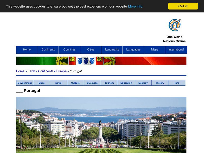
Nations Online: Portugal
Excellent online resource that provides a country profile of the Southwestern European nation of Portugal, background details, and numerous links to in-depth information on the nation's culture, history, geography, economy, environment,...
Nations Online Project
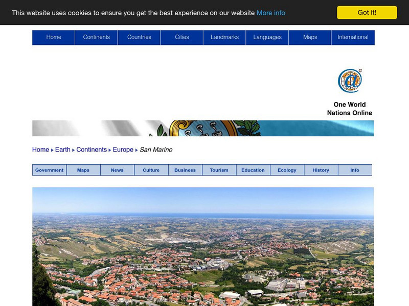
Nations Online: San Marino
Offers a travel guide and country profile of the tiny South European nation of San Marino including basic facts and numerous links to comprehensive information on the islands' culture, history, geography, economy, environment,...
Nations Online Project
Nations Online: Netherlands
Great destination guide and country profile of the Netherlands featuring a background overview, and numerous links to comprehensive information on the country's culture, history, geography, economy, environment, population, news,...
Nations Online Project
Nations Online: Germany
Provides a country summary and destination guide to Germany, background details, and numerous links to key information on the nation's culture, history, geography, economy, environment, population, news, tourism, government, maps, and more.
Nations Online Project
Nations Online: Belgium
Features a country profile of the European nation of Belgium, background overview, and numerous links to extensive information on the nation's culture, history, geography, economy, environment, population, news, tourism, government, and...
Nations Online Project
Nations Online: Croatia
Features a virtual destination guide and country profile of the European nation of Croatia, background details, and numerous links to in-depth information on the nation's culture, history, geography, economy, tourism, environment,...
Nations Online Project
Nations Online: Ireland
Offers an excellent online resource and country profile of the Republic of Ireland, background overview, and numerous links to comprehensive information on the island's culture, history, geography, economy, environment, population, news,...
Nations Online Project
Nations Online: Luxembourg
A great reference source for getting a country profile of the little European nation of Luxembourg. Offers background details, and numerous links to key information on the nation's culture, history, geography, economy, environment,...
Nations Online Project
Nations Online: Poland
Excellent online resource that provides a country profile of the European nation of Poland, background details, and numerous links to in- depth information on the nation's culture, history, geography, economy, environment, tourism,...


