Curated OER
Educational Technology Clearinghouse: Maps Etc: Barred and Safety Zones, 1917
A map of the "barred zones" and "safety lanes" outlined in Germany's 1917 note to the United States regarding neutral shipping to and from Europe.
Curated OER
Educational Technology Clearinghouse: Maps Etc: Ethnic Groups of Europe, 1916
A 1916 map showing the historic lands held by the various groups of Europe, including the Latin nations (Italy, France, Spain, and Portugal), Teutonic nations of Germany, Netherlands, Scandinavia, and which include the Celts of the...
Curated OER
Educational Technology Clearinghouse: Maps Etc: The San Juan Boundary, 1883
A map of the Puget Sound area of North America showing the area of the boundary dispute between British Columbia and the United States. The San Juan Boundary was the source of a military conflict between the US and British North America....
Curated OER
Etc: Maps Etc: Territorial Gains of the United States, 1919
A map from 1919 of the United States showing the territorial acquisitions from the original states and territory established in 1783 to the Tripartite Convention of 1899 in which Germany and the United States divided the Samoan Archipelago.
Lonely Planet
Lonely Planet: Berlin
Discover a brief introduction to Berlin. Includes interesting historical facts, maps, suggested attractions and recommended reading material.
Other
Stadt Koln
A great web site, the official site of the city of Koln (Cologne) contains a wealth of information about the city: facts and figures, its history, culture, geography, economy, sights, tourism, sports, and free time activity--not to...
Other
Landeshauptstadt Dresden (City of Dresden)
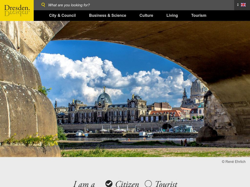
Bilingual site with a wealth of information about the city, facts & figures, its history, culture, economy, sights, tourism, sports, etc. Click German flag in the top navigation to access the site in German.
Other
Lander Der Bundesrepublik Deutschland
Good site for the Bundeslander (States of Germany). Shows location of each state on a separateGermany map, links to capitals and state governments.
The History Cat
The History Cat: Treaty of Versailles: Peace Returns
Describes what happened at the end of World War I - the celebrations and the unnecessary final battles - as the Big Four (France, Britain, the United States, and Italy) sat down to begin negotiations for the Treaty of Versailles....
Read Works
Read Works: Dinosaur Discovery
[Free Registration/Login Required] Students read text, a map, and a chart about dinosaur fossils. A question sheet is available to help students build skills in comparing and contrasting.
Curated OER
Etc: Napoleonic Campaigns, 1796 1809
A map of western Germany between 1796 and 1809 showing the campaigns in the region by France under Napoleon Bonaparte. The map shows major cities, roads, rivers, and terrain features of the region, including the sites of the 1796...
Curated OER
Etc: Plan of Cathedral at Wurms, Ad 1000 1025
This is a plan of the Cathedral at Wurms, Germany.
Curated OER
Etc: Growth of Brandenburg Prussia, 1400 1806
A map of the growth of Brandenburg-Prussia from 1400, when the original Brandenburg was one of the seven electoral states of the Holy Roman Empire, to the annexation of Hanover and near-by territory in 1806. This map also shows the...
Curated OER
Etc: Formation of the German Empire, 1806 1871
A map showing the formation of the German Empire between 1806 and 1871. This map shows the territory of Prussia after the war with Napoleon in 1806, the territory added to Prussia by the Congress of Vienna in 1815, Schleswig and Holstein...
Curated OER
Etc: Southern German States, Braunschwieg State, and Thuringische State, 1915
Political map of the southern German Empire circa 1915 showing the southern States, and including the northern States of Braunschweig and Thuringishe. Switzerland and the western portion of the Austro-Hungarian Empire are also shown on...
Other
Berliner Verkehrsbetriebe: Berlin Transport Services
BVG is Berlin's public transportation site - bus, S-Bahn, U-Bahn. Information and maps for getting around in Berlin. A well-organized resource. Content is in German.
United Nations
Unesco: Cologne Cathedral
Description, illustrations, history and maps of the Cologne Cathedral paired with news and reports of threats to its integrity from pollution, nearby construction, and similar dangers.
Curated OER
Map 40: Southern Approaches to Europe
HIghlights the military strategy of the United States during World War II in fighting Germany and Italy.
Curated OER
Map 41: Northern Europe
HIghlights the military strategy of the United States during World War II in fighting Germany and Italy.
Curated OER
Etc: Europe at the Time of the Reformation, 1517 1648
Map of Europe at the time of The Protestant Reformation movement from Martin Luther in 1517 to the Peace of Westphalia in 1648. Shows major cities of the time, major river ways, topography, political boundaries. This map illustrates the...
Curated OER
Etc: Territorial Growth of the United States, 1783 1900
A map from 1911 of the United States showing the territorial acquisitions from the original states and territory established in 1783 to the Tripartite Convention of 1899 in which Germany and the United States divided the Samoan...
World History Encyclopedia
World History Encyclopedia: Alemanni
Encyclopedia entry on Alemanni, a confederacy of Germanic-speaking peoples who occupied modern day Germany. Site has maps, links to further material and timeline of events.
Other
Zoo Heidelberg
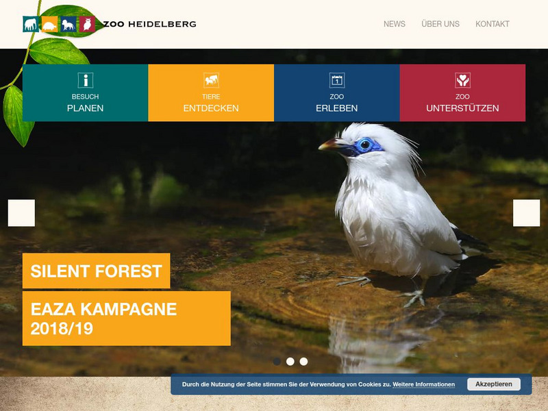
This is the homepage for the Zoo Heidelberg in Heidelberg, Germany. To select an English version, go down three entries with flamingos to get prices and a map. The page is mainly in German.
Made From Media
Made From History: Europe in 1914 First World War Alliances Explained
See actual illustrated maps form the time of World War I. On one side, see the dual alliance between Germany and Austria-Hungary, and on the other, the Triple Entente between France, Russia, and Great Britain.
Other popular searches
- Germany Geography Map
- Germany Outline Map
- Germany Map
- Map of Germany 1933
- Outline Map of Germany
- Picture Map of Germany
- Germany Map Study
- Germany Map Activity


