Curated OER
Science Kids: Science Images: Map of Germany
A map featuring Germany and its neighboring countries.
University of South Florida
Holocaust Timeline: The Nazification of Germany
This incredible site outlines the rise and implementation of the Nazi Party in Germany. While learning about Hitler's transformation of Germany, explore the incredible pictures, audio clips, maps, video clips, and an interactive quiz.
US Holocaust Memorial Museum
U.s. Holocaust Memorial Museum: World War Ii in Europe: Animated Maps
The maps on this website show the ebb and flow of Germany's initial domination of Europe, and then the allies' retaking of the territory in WW II. Audio commentary describes the changes from 1939 to 1945.
Google
Google Maps: Virtual Tour of Pergamon Museum, Berlin
Take a virtual tour through the Pergamon Museum located on Museum Island in Berlin. This world famous museum has life-size, reconstructed monuments from ancient civilizations, including the Pergamon Altar of Zeus, the Roman Market Gate...
American-Israeli Cooperative Enterprise
Jewish Virtual Library: Jewish Emigration From Germany 1933 1939 Map
This map shows the places to which Jews emigrated between 1933 and 1939, and the numbers of emigrants to each place. Thousands were able to escape Germany, but millions more were not able to.
Curated OER
Educational Technology Clearinghouse: Maps Etc: Germany Western Section, 1912
A black-and-white map showing the western section of Germany and its subdivisions in 1912. The map shows the individual states west of Berlin, and major cities, railroads, and rivers of the country. The map also shows the Alsace and...
Curated OER
Educational Technology Clearinghouse: Maps Etc: Germany Western Section, 1909
A map showing the western section of Germany and its subdivisions in 1909. The map is color-coded to show the individual states west of Berlin, and shows cities, railroads, and rivers of the country. The map shows the Alsace and Lorraine...
Curated OER
Educational Technology Clearinghouse: Maps Etc: Germany After Wwi, 1919
A map showing the boundaries of Germany after the Treaty of Versailles in1919 showing the German boundary in 1914 and territories lost after the war, the "Free territory" of Danzig on the Baltic Coast, the Plebiscite areas in Schleswig,...
Curated OER
Educational Technology Clearinghouse: Maps Etc: Germany Eastern Section, 1912
A black-and-white map of the eastern section of Germany in 1912.
Curated OER
Educational Technology Clearinghouse: Maps Etc: Germany Eastern Section, 1909
A map of the eastern section of Germany in 1909.
Curated OER
Etc: Maps Etc: Germany Divided Into 10 Imperial Circles, 1543
A map of the ten regional Imperial Circles of Germany, (Burgundian, Westphalian, Lower Saxon, Upper Saxon, Lower Rhenish, Upper Rhenish, Franconian, Suabian, Bavarian, and Austrian) created after 1543, when Charles V established the...
Curated OER
Etc: Maps Etc: Germany at the Start of the 30 Years War, 1618
Germany at the start of The 30 Years War in 1618.
Curated OER
Educational Technology Clearinghouse: Maps Etc: Germany, 1919
A map showing the western section of Germany and its subdivisions in 1919. The map is color-coded to show the individual states, and shows cities, railroads, and rivers of the country, and includes an inset map of Schleswig-Holstein.
Curated OER
Etc: Maps Etc: Germany at the Accession of Charles V, 1519
Map showing the German, Netherland, French, and northern Italian regions of the Holy Roman Empire at the Accession of Charles V in 1519.
Curated OER
Educational Technology Clearinghouse: Maps Etc: Germany, 1648
A map of northern Germany showing the political boundaries established by the Peace of Westphalia in 1648 at the close of the Thirty Years' War.
Curated OER
Educational Technology Clearinghouse: Maps Etc: Germany, 1904
A geo-political map of the Germany showing country and state borders current to 1904, major cities, railroad lines, canals and navigable rivers.
Encyclopedia of Earth
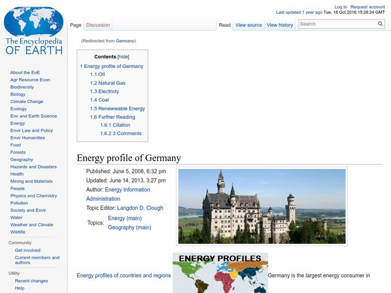
Encyclopedia of Earth: Germany
The Encyclopedia of Earth provides an overview of Germany, including its geography, natural resources, history, government, economy, and much more. Maps and images are also included, along with sources used to create the entry.
Curated OER
Map of Germany
BBC News offers a general overview of Europe's most populous country, Germany. Focus is on history, current information, country facts, political leaders, and news media. Provides links to a timeline of key events, recent news articles,...
Curated OER
Etc: Maps Etc: Religious Divisions of Germany, 1610
Map of Germany during the reformation showing the religious divisions of Germany prior to the Thirty Years' War, circa1610. This map is color-coded to show the territorial boundaries of the Roman Catholics in orange, Lutherans in blue,...
World Atlas
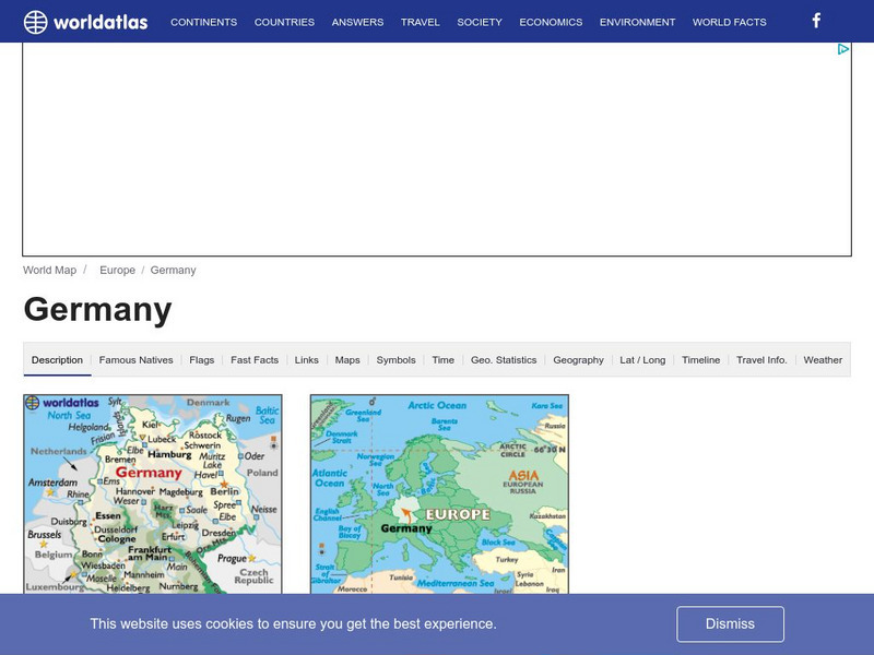
World Atlas: Germany
WorldAtlas.com looks at Germany, including quick facts and figures and many maps.
Brigham Young University
World War I Document Archive: The War With Germany, a Statistical Summary
This lengthy document, written at the end of World War I, is filled with statistics pertaining to every facet imaginable of the United States' participation in World War I. The chapters look at the men who served, the munitions, battles,...
American-Israeli Cooperative Enterprise
Jewish Virtual Library: Deportations to Killing Centers in Occupied Poland
Map of routes to move Jews to killing centers in Poland during its German occupation. Includes short description.
Curated OER
Educational Technology Clearinghouse: Maps Etc: Berlin, Germany, 1914
A map of Berlin, Germany and vicinity in 1914, including Spandau and Potsdam. The map shows major streets, railways, neighboring cities and towns, rivers, and forests.
Other popular searches
- Germany Geography Map
- Germany Outline Map
- Germany Map
- Map of Germany 1933
- Outline Map of Germany
- Picture Map of Germany
- Germany Map Study
- Germany Map Activity


