Curated OER
Educational Technology Clearinghouse: Maps Etc: Illinois, 1912
A map from 1912 of Illinois showing the State capital of Springfield, counties and county seats, major cities and towns, railroads, canals, lakes and rivers. An inset map shows the vicinity of Chicago. A grid reference in the margins of...
Curated OER
Educational Technology Clearinghouse: Maps Etc: Illinois, 1902
A map from 1902 of Illinois showing the State capital of Springfield, major cities and towns, railroads, canals, the shoreline of Lake Michigan, and the Mississippi and Ohio rivers. An inset map shows the vicinity of Chicago.
Curated OER
Educational Technology Clearinghouse: Maps Etc: Illinois, 1891
A map from 1891 of Illinois showing the State capital of Springfield, major cities and towns, railroads, canals, the shoreline of Lake Michigan, and the Mississippi and Ohio rivers.
Curated OER
Educational Technology Clearinghouse: Maps Etc: Illinois, 1906
A map from 1906 of Illinois showing the State capital of Springfield, major cities and towns, railroads, canals, the shoreline of Lake Michigan, and the Mississippi and Ohio rivers.
Curated OER
Educational Technology Clearinghouse: Maps Etc: Illinois, 1909
A map from 1909 of Illinois showing the State capital of Springfield, major cities and towns, railroads, canals, the shoreline of Lake Michigan, and the Mississippi and Ohio rivers.
Curated OER
Educational Technology Clearinghouse: Maps Etc: Illinois, 1919
A map from 1919 of Illinois showing the State capital of Springfield, major cities and towns, railroads, canals, the shoreline of Lake Michigan, and the Mississippi and Ohio rivers.
Curated OER
Educational Technology Clearinghouse: Maps Etc: Illinois, 1922
A map from 1922 of Illinois showing the State capital of Springfield, major cities and towns, railroads, canals, the shoreline of Lake Michigan, and the Mississippi and Ohio rivers.
Curated OER
Educational Technology Clearinghouse: Maps Etc: Illinois, 1892
A map from 1892 of Illinois showing the State capital of Springfield, counties and county seats, major cities and towns, railroads, canals, the shoreline of Lake Michigan, and the Mississippi and Ohio rivers.
Curated OER
Educational Technology Clearinghouse: Maps Etc: Illinois, 1901
A map from 1901 of Illinois showing the State capital of Springfield, counties and county seats, major cities and towns, railroads, canals, the shoreline of Lake Michigan, and the Mississippi and Ohio rivers.
Curated OER
Educational Technology Clearinghouse: Maps Etc: Illinois, 1920
A map from 1920 of Illinois showing the State capital of Springfield, counties and county seats, major cities and towns, railroads, canals, the shoreline of Lake Michigan, and the Mississippi and Ohio rivers.
University of Illinois
University of Illinois: Momaday: Biographical, Literary, & Multicultultural
Extensive biographical introduction of Momaday, citing him as the breakthrough author for American Indian literature. Includes a bibliography for further reading.
University of Illinois
University of Illinois: Modern American Poetry: About Marcus Garvey and the Black Star Line
This page contains a mix of different information about Marcus Garvey and a photograph exhibit relating to his steamship company, the Black Star Line.
University of Illinois
University of Illinois: Modern American Poets: Louise Erdrich
This useful collection of information about Louise Erdrich and her work includes biographical details, an online short story, an extensive bibliography and excerpts from interviews.
University of Illinois
University of Illinois: Modern American Poetry: The Depression in the United States an Overview
Learn about the agricultural, political, and economical effects of the American Great Depression.
University of Illinois
University of Illinois Extension: Forever Friends: Traveling to Asia
Take a virtual trip to several countries in Asia, guided by knowledgeable young people who will help you understand the culture and special allures of each country. Short videos are included. A map and activities relating to the...
University of Illinois
University of Illinois: Modern American Poetry: About Sharecropping
Three articles about the effects of sharecropping, a farming system that became prevalent after the Civil War for blacks and whites.
University of Illinois
University of Illinois: A Vietnam War Timeline
This site houses a timeline of the events that took place before, during, and after the completion of the Vietnam war.
University of Illinois
University of Illinois: Examples of Winter's Early Imagist Poetry
Two very good examples of imagist poetry. Links to author.
University of Illinois
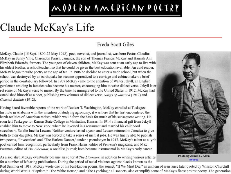
University of Illinois: Modern American Poetry: Claude Mc Kay's Life
A concise and in-depth biography of the American poet known as Claude McKay (1890-1948 CE). McKay was one of the key members of The Harlem Renaissance Movement.
University of Illinois
University of Illinois Urbana Champaign: Observed Dew Point Temperature
Describes what dew point is and how it relates to moisture content of the air. Also explains condensation and relative humidity.
A&E Television
History.com: The States
Learn unique facts about each American state. You can also read a more in-depth history of each state, watch videos and play a game about all the states.
Curated OER
Educational Technology Clearinghouse: Maps Etc: Illinois River System, 1916
A map from 1916 of the Illinois River drainage basin showing the primary and secondary tributaries from Lake Michigan to the Mississippi River.
Curated OER
Etc: Maps Etc: Generalized Glacial Map of Northern Illinois, Ice Age
A map from 1911 of the glacial remnants in northern Illinois, showing areas of moraine deposits, driftless areas to the east, Illinoian drift, lowland drift, till sheets, and the proglacial Lake Chicago outlet.
University of Illinois
University of Illinois: Modern American poetry:(h.d.)hilda Doolittle (1886 1961)
The Modern American Poetry site features an essay about H. D.?s (1886-1961 CE) life and career, selected criticism, and links to related sites.


