University of Chicago
University of Chicago: Oriental Institute
Home page of the Oriental Institute of the University of Chicago. A very simple, but easy site to navigate and find what you are looking for. Links to research archives, electronic resources, and projects are available on this site.
Curated OER
Etc: Maps Etc: Prairie and Woodland in Illinois, 1911
A map from 1911 of Illinois showing the Grand Prairie and the pre-European extent of the woodlands in the area. The map is keyed to show areas of prairie and areas of woodlands, and shows major rivers.
Curated OER
Educational Technology Clearinghouse: Maps Etc: Mississippi Valley, 1672 1673
A facsimile from the collection of Francis Parkman (1865) of an early map of the Mississippi River Valley from the Great Lakes to the Gulf of Mexico, showing the explorations of Father Jacques Marquette (1672-1673). The map shows Lac de...
Curated OER
Educational Technology Clearinghouse: Maps Etc: Black Hawk War, 1832
A map of the Illinois and Michigan territory (present day Illinois and Wisconsin) showing the battle sites of the Black Hawk War of 1832. The map shows Black Hawk's Village (Saukenuk) near Rock Island on the Mississippi, Prophetstown,...
Curated OER
Etc: Route of George Rogers Clark, 1777 1779
A map of the Ohio country where in 1778-1779 George Rogers Clark led the Illinois Campaign to capture the British stronghold at Vincennes, marking an end to British power in the west. The map shows Clark's route from Pittsburgh along the...
Curated OER
Educational Technology Clearinghouse: Maps Etc: United States, 1821
A map of the United States and territories in 1821 after the Missouri Compromise, showing the Free States and territories, the Slave States and territories, and the transitional territories at the time. The map is color-coded to show the...
Curated OER
Educational Technology Clearinghouse: Maps Etc: The Northwest Territory, 1787
A map of the Northwest Territory of the United States north of the Iroquois or Ohio River in 1787 showing early forts and settlements with dates of establishment given, rivers, and the general territories of the Illinois, Miami, and...
Curated OER
Etc: Development of the Northwest Territory in Us, 1790 1810
A map of the American Northwest Territory showing the boundary developments in 1790, 1800, and 1810. The upper left map shows the territory acquired by the United States from Britain after the Revolutionary War as established by the...
Curated OER
Educational Technology Clearinghouse: Maps Etc: Chicago, Illinois , 1914
A city plan from 1914 of greater Chicago showing the city limits, major streets, railroads and stations, parks, major landmarks, rivers, and the shoreline of Lake Michigan. A grid reference at the bottom of the map lists the principal...
Curated OER
Etc: Maps Etc: The Upper Mississippi River, 1911
A map from 1911 showing the old and new channels of the Mississippi at the upper rapids, near Fulton, Illinois. The map shows bluffs and river valleys indicating past river channels.
Curated OER
Map of Illinois Showing
This site provides historical information and pictures regarding the Fifth Lincoln Douglas debate in 1858.
Curated OER
Educational Technology Clearinghouse: Maps Etc: Chicago and Vicinity, 1901
A city plan from 1901 of Chicago and vicinity showing the city limits, major streets, neighboring cities and towns, the Illinois and Michigan canal, parks, stock yards, and the shoreline of Lake Michigan.
Curated OER
Educational Technology Clearinghouse: Maps Etc: Chicago, 1922
A map from 1922 of Chicago and neighboring counties. The map shows county boundaries and county seats, cities, towns, railroads, canals, lakes, rivers, and the shoreline of Lake Michigan.
Curated OER
Educational Technology Clearinghouse: Maps Etc: Chicago and Vicinity, 1901
A map from 1901 of Chicago and vicinity showing the city limits, major streets, neighboring cities and towns, major landmarks, the drainage canal, stock yards, parks, Lake Calumet, rivers, and the shoreline of Lake Michigan.
Curated OER
Educational Technology Clearinghouse: Maps Etc: Chicago and Vicinity, 1916
A map from 1916 of Chicago and vicinity, showing the railroad network of the area, major cities and towns, rivers, and the southern portion of Lake Michigan from Waukegan to Chicago. The map coverage includes the cities of Elgin, Aurora,...
Curated OER
Etc: Maps Etc: Chicago and Surrounding Area, 1909
A map from 1909 of Chicago and vicinity, including the State capitol of Springfield. The map shows the railroad network of the area, major cities and towns, rivers, and the southern portion of Lake Michigan.
Curated OER
Educational Technology Clearinghouse: Maps Etc: Chicago, 1911
A city plan from 1911 of Chicago showing major streets, railroads and stations, the Chicago Union transfer railway yards, canals, Plaines River, parks, harbor, and major landmarks of the city.
Curated OER
Educational Technology Clearinghouse: Maps Etc: Chicago, 1903
A city plan from 1903 of Chicago and vicinity showing the city limits, major streets, neighboring cities and towns, the western drainage canal, parks, Union stock yards, major landmarks, and the shoreline of Lake Michigan.
University of Illinois
University of Illinois: Edna St. Vincent Millay Article by John Newcomb
This site offers an article written by John Timberman Newcomb on Edna St. Vincent Millay and her political views expressed in JUSTICE DENIED IN MASSACHUSETTS and other works.
University of Illinois
University of Illinois: Edna St. Vincent Millay Biographies by Wilson and Dougal
This site offers biographies on Edna St. Vincent Millay by Edmund Wilson, Ann Dougals, and the Feminist Companion to Literature in English.
Other
Chicago Historical Society
A rich source of historical information on Chicago. Search through entries, historical sources, maps, and special features.
University of Illinois
University of Illinois Urbana Champaign: Trends Method in Mathematics
Site provides another method that can be used to forecast the weather: the trend method. This method is based on prior movement of the storm. Site utilizes data, charts, maps, and predictions.
University of Illinois
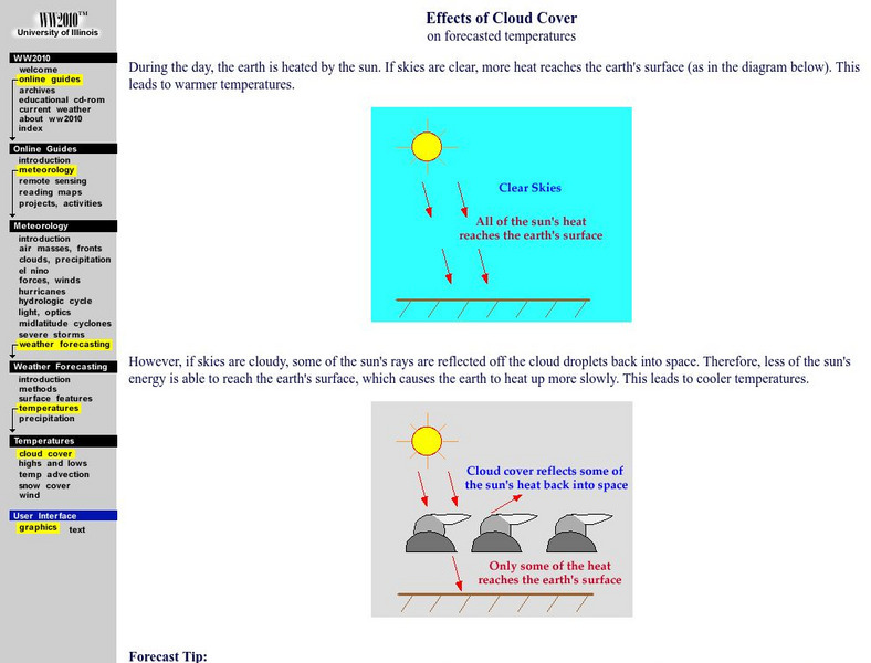
University of Illinois Urbana Champaign: Effects of Cloud Cover on Forecasting
This site explores the "factors to consider when forecasting day and nightime temperatures," and how cloud cover will effect these predictions.
Other
Anderson Japanese Gardens
This site presents information on the Anderson Gardens in Rockford, Illinois. If you click on the link "Tours", a new page will appear with a map of the entire garden. Click on any number on the map to see a picture as well as find out...


