CRW Flags
Flags of the World: Clickable Map of the United States
Includes both printable images and fascinating trivia behind the flag of each state. It includes alternate flags used in the past.
Curated OER
Educational Technology Clearinghouse: Maps Etc: Massachusetts, 1919
A road map of Massachusetts in the vicinity west of Taunton to Providence, Rhode Island from the Official Automobile Blue Book (1919), showing state lines, cities, towns, and roads, and is keyed to show the best auto routes, other auto...
Enchanted Learning
Enchanted Learning: Massachusetts
This site has a colorful display of information about Massachusetts. It contains a map, pictures, a list of state symbols, and links to related information.
Curated OER
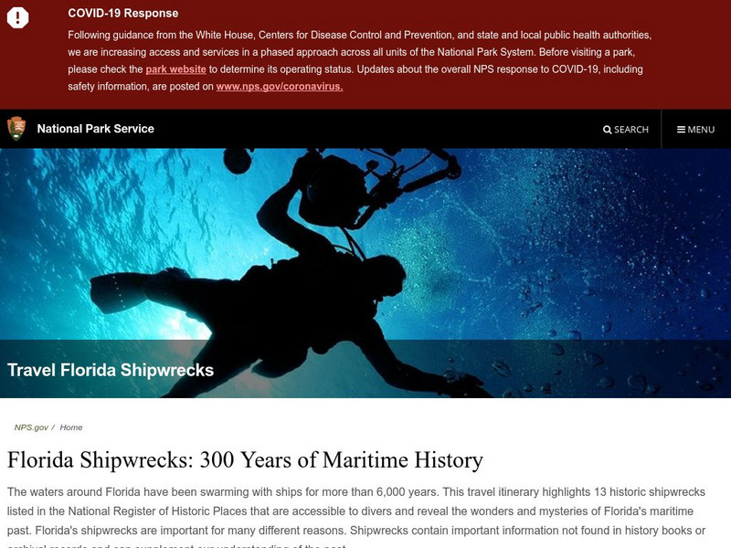
National Park Service: Florida's Shipwrecks: 300 Years of Maritime History
Explore the maritime history of Florida through its shipwrecks. Site includes list of shipwreck sites, maps of shipwrecks, and extensive history.
DLTK
Massachusetts State Map
Provides a blank map of Massachusetts. Teachers will find many uses for this in the classroom. Students will enjoy coloring it and locating different parts of the state.
Other
Stcc: Shays' Rebellion and the Making of a Nation
An extensive site that tells the story of Shay's Rebellion which took place after the Revolution in Massachusetts. Includes historic scenes, artifacts, documents, people, themes and essays, maps, songs and music, a timeline, and videos,...
Kidport
Kidport: United States of America Geography
This site contains a fun way to learn about the states within the United States. Click on the state that you want to learn more about and it provides facts, geographic landmarks, points of interest, major industries, a quiz and more.
Curated OER
Educational Technology Clearinghouse: Maps Etc: Massachusetts, 1914
A map from 1914 of Massachusetts showing the capital Boston, major cities, towns, and ports, counties and county seats, railroads, mountains, lakes, rivers, and coastal islands and features. An inset map details the vicinity of Boston. A...
Curated OER
Educational Technology Clearinghouse: Maps Etc: Massachusetts, 1891
A map from 1891 of Massachusetts showing the capital Boston, major cities, towns, and ports, railroads, mountains, lakes, rivers, islands, and coastal features.
Curated OER
Educational Technology Clearinghouse: Maps Etc: Massachusetts, 1909
A map from 1909 of Massachusetts showing the capital Boston, major cities, towns, and ports, railroads, mountains, lakes, rivers, islands, and coastal features.
Curated OER
Educational Technology Clearinghouse: Maps Etc: Massachusetts, 1919
A map from 1919 of Massachusetts showing the capital Boston, major cities, towns, and ports, railroads, mountains, lakes, rivers, islands, and coastal features.
Curated OER
Educational Technology Clearinghouse: Maps Etc: Massachusetts, 1922
A map from 1922 of Massachusetts showing the capital Boston, major cities, towns, and ports, railroads, mountains, lakes, rivers, islands, and coastal features.
Curated OER
Educational Technology Clearinghouse: Maps Etc: Massachusetts, 1902
A map from 1902 of Massachusetts showing the capital Boston, major cities, towns, railroads, rivers, islands, and coastal features. An inset map details the vicinity of Boston.
Curated OER
Educational Technology Clearinghouse: Maps Etc: Massachusetts, 1906
A map from 1906 of Massachusetts showing the capital Boston, major cities, towns, and ports, counties and county seats, railroads, mountains, lakes, rivers, and coastal islands and features. An inset map details the vicinity of Boston.
Curated OER
Educational Technology Clearinghouse: Maps Etc: Massachusetts, 1919
A map from 1919 of Massachusetts showing the capital Boston, major cities, towns, and ports, counties and county seats, railroads, mountains, lakes, rivers, and coastal islands and features. An inset map details the vicinity of Boston.
Curated OER
Educational Technology Clearinghouse: Maps Etc: Massachusetts, 1919
A road map of inland Massachusetts in the vicinity of Walpole from the Official Automobile Blue Book (1919), showing county lines, towns, and roads, and keyed to show the best auto routes, other auto routes, unreported roads, railroads,...
Curated OER
Educational Technology Clearinghouse: Maps Etc: Massachusetts, 1919
A road map of inland Massachusetts in the vicinity of Amherst from the Official Automobile Blue Book (1919), showing county lines, towns, and roads, and keyed to show the best auto routes, other auto routes, unreported roads, railroads,...
Curated OER
Educational Technology Clearinghouse: Maps Etc: Massachusetts, 1919
A road map of coastal Massachusetts in the vicinity of Buzzards Bay from the Official Automobile Blue Book (1919), showing county lines, towns, and roads, and keyed to show the best auto routes, other auto routes, unreported roads,...
Curated OER
Educational Technology Clearinghouse: Maps Etc: Massachusetts, 1919
A road map of inland Massachusetts in the vicinity of Coldbrook Springs from the Official Automobile Blue Book (1919), showing county lines, towns, and roads, and keyed to show the best auto routes, other auto routes, unreported roads,...
Curated OER
Educational Technology Clearinghouse: Maps Etc: Massachusetts, 1919
A road map of northern Massachusetts in the vicinity of Fitchburg from the Official Automobile Blue Book (1919), showing state and county lines, towns, and roads, and keyed to show the best auto routes, other auto routes, unreported...
Curated OER
Educational Technology Clearinghouse: Maps Etc: Massachusetts, 1919
A road map of northern Massachusetts in the vicinity of Athol and Greenfield from the Official Automobile Blue Book (1919), showing state and county lines, towns, and roads, and keyed to show the best auto routes, other auto routes,...
Curated OER
Educational Technology Clearinghouse: Maps Etc: Massachusetts Bay, 1667
"This is a fac-simile of a map of Boston Harbor and adjacent settlements in 1667, and is believed to be a specimen of the first engraving executed in America. Instead of the top of the map being north, according to the present method of...
Curated OER
Etc: English Settlements Around Massachusetts Bay, 1620 1652
A map of Massachusetts Bay showing the early English settlements from Plymouth to Haverhill on the Merrimac River.
Curated OER
Educational Technology Clearinghouse: Maps Etc: Plymouth, 1620
A sketch map of Massachusetts Bay showing the area of the Pilgrim landing on Cape Cod, settlement of Plymouth, and relative proximity to Boston Harbor.


