Hi, what do you want to do?
Brown University
John Carter Brown Library: Champlain's America: New France and New England
An exhibition marking the 400th anniversary of the founding of Quebec by Samuel de Champlain. It discusses Champlain's determination and drive to explore North America, and to plant French roots in the Canadian landscape. Images of...
Khan Academy
Khan Academy: Puritan New England: Plymouth
An overview of the Puritans who facing religious persecution in England set sail for the New World establishing the colony at Plymouth.
Khan Academy
Khan Academy: Puritan New England: Massachusetts Bay
An overview of the Puritans who established the Massachusetts Bay Colony, the New Haven Colony and Rhode Island. The internal and external struggles with these colonies is discussed including the Salem Witch Trials, King Philip's War,...
Curated OER
Educational Technology Clearinghouse: Maps Etc: New England Grants, 1643 1684
A map of the Massachusetts Bay Colony and New England Confederation (1643-1684) showing the grants of the area, and is keyed to show: (1) the Plymouth Colony (1620), (2) Massachusetts, (3) Massachusetts Bay, (4) Maine, (5) New Hampshire,...
Curated OER
Etc: Maps Etc: Transportation Map of New England, 1916
New England in 1916, showing transportation routes.
Curated OER
Educational Technology Clearinghouse: Maps Etc: New Zealand, 1904
A geo-political map of New Zealand current to 1904, showing major cities, railroad lines, and navigable rivers. Physical features include mountain ranges with elevation measured in feet, major rivers and watersheds, and the 100-fathom...
Curated OER
Educational Technology Clearinghouse: Maps Etc: New England, 1680
North Atlantic coast of the New England region.
Curated OER
Early Settlements in New England and Distribution of the Indian Tribes, 1686
A map of the Dominion of New England (1686), showing the early settlements and the general tribal lands of the Pawtuckets, Massachusetts, Wampanoags, Narragansets, Nipmucks, Pequods, and Mohegans. "New England, a collective name given to...
Other
Epa New England: Long Island Sound Facts, Figures, and Maps
Listing of various fact sheets created and published through the Long Island Sound Study. Topics include How Low Dissolved Oxygen Conditions Affect Marine Life in LI, Impact of Atmospheric Nitrogen Deposition on Long Island Sound, Sound...
Curated OER
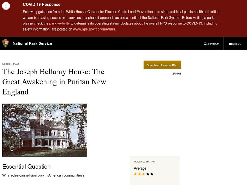
National Park Service: Joseph Bellamy House: The Great Awakening in New England
This site describes the influence of the Reverend Joseph Bellamy and religion in 18th century colonial life. This lesson plan has excellent information, an inquiry question, historical context, maps, readings, images, and activities.
Curated OER
Educational Technology Clearinghouse: Maps Etc: New Hampshire and Vermont, 1898
A map from 1898 of New Hampshire and Vermont. "New Hampshire, one of the thirteen original States. Settled by English Puritans at Dover and Portsmouth 1623. Named for Hampshire County, England, called the 'Granite State.’ Ratified United...
Curated OER
Educational Technology Clearinghouse: Maps Etc: New Hampshire, 1903
A map from 1903 of New Hampshire showing the capital of Concord, counties and county seats, principal cities and towns, railroads, rivers, and mountain ranges. "New Hampshire, one of the New England States of the American Union, lies...
Stanford University
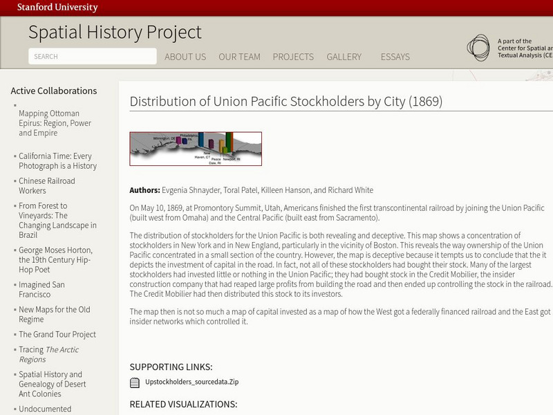
Stanford University: Spatial History: Distribution of Union Pacific Stockholders
This map reveals the way ownership of the Union Pacific concentrated in New England and New York. It also shows how the West got a federally financed railroad, and the east got the insider networks which controlled it.
PBS
Pbs Learning Media: Explore Colonial Boston
Use this interactive activity to explore colonial Boston and the geographic and human-made features of the Shawmut Peninsula in 1723. Learn how geography has shaped the lives of the people of Boston and see how different Boston's...
Annenberg Foundation
Annenberg Learner: United States History Map: 50 States
Read about the regions of the United States, find the states in those regions on maps, and play a game to locate the states. A great interactive review.
Curated OER
Etc: The Revolution in New England States, 1774 1783
A map of America's New England states during the time of the American Revolution, including Maine, New Hampshire (with Vermont), Massachusetts, Rhode Island, Connecticut, and Long Island. The map shows major cities, towns, forts, battle...
Curated OER
Etc: New England Colonies, 1620 1641
A map of the New England Colonies showing the westward expansion of the Pilgrims from Plymouth (1620) to Stamford, Connecticut (1641). The map shows settlements in the area with dates of establishment given, colony boundaries, New...
Curated OER
Etc: New England Colonies, 1620 1638
A map of the New England colonies showing the early permanent Pilgrim settlements and their dates of establishment, including Plymouth (1620), Little Harbor, New Hampshire (1623), Pemaquid, Maine (1625), Salem, Massachusetts (1628),...
Curated OER
Etc: The Chief Settlements Made in New England, 1620 1675
A map of the New England region showing the chief early European settlements between 1620-1675. The map shows rivers, terrain and coastal features, the coastal settlements of Pemaquid, Saco, Dover, Portsmouth, Salem, Cambridge,...
Curated OER
Etc: Maps Etc: Northern New England and Canada, 1919
The Northern New England states and part of Canada in 1919, showing roads.
Curated OER
Etc: Maps Etc: Texas and the New England States, 1916
A comparison of sizes between Texas and the New England states.
Curated OER
Etc: Distribution of Votes Ratification of Constitution in New England 1787 1790
A map showing the distribution of votes in the ratification of the Constitution (1787-1790) for the New England States. The map is keyed to show areas where the vote was a Federal majority, where there was an anti-Federal majority, and...
Curated OER
Etc: Maps Etc: Forest Map of the United States, 1910
A map from 1910 of the United States showing the forest regions of the Pacific, Rocky Mountains, Northern Forest in the Great Lakes and New England areas, Southern Forest along the Gulf and East Coast, and the Hardwood Forest. The map...
Other
Hillcrest: England and Its Colonies [Pdf]
A textbook chapter about England and its relationship to its American colonies. Included are maps and map questions, study help, and assessments.


