Hi, what do you want to do?
Other
American Journeys: Revolt of the Pueblo Inidans
Read the background of the Pueblo Revolt of 1680 before accessing the document which is a translation of an excerpt of a book titled Revolt of the Pueblo Indians of New Mexico and Otermin's Attempted Reconquest, 1680-1682. This document...
Cayuse Canyon
The Us50: New Mexico
Offers comprehensive information regarding New Mexico history, famous people, cities, geography, state parks, tourism, and historic sites. A fact sheet of information and a quiz are also available.
CRW Flags
Flags of the World: Clickable Map of the United States
Includes both printable images and fascinating trivia behind the flag of each state. It includes alternate flags used in the past.
Curated OER
Educational Technology Clearinghouse: Maps Etc: New Mexico, 1903
The Territory of New Mexico before it became a state showing counties, cities, rivers, mountain ranges, and railroads.
Maps of Mexico
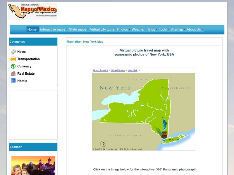
Virtual Picture Travel Map of New York
Click on New York and take a virtual tour of Manhattan. Visit places of interest such as Ellis Island, the Brooklyn Bridge, the Empire State Building, Times Square, Rockefeller Center and the Central Park Zoo. Uses popups.
Other
Nmbgmr: Resources for Teachers
Locate a variety of maps on New Mexico's minerals and resources, read issues of "Lite Geology," take virtual tours of state sites, and find games, puzzles, and activities for young people.
Other
Nmbgmr: Resources for Teachers
Locate a variety of maps on New Mexico's minerals and resources, read issues of "Lite Geology," take virtual tours of state sites, and find games, puzzles, and activities for young people.
Other
Nmbgmr: Resources for Teachers
Locate a variety of maps on New Mexico's minerals and resources, read issues of "Lite Geology," take virtual tours of state sites, and find games, puzzles, and activities for young people.
Curated OER
Educational Technology Clearinghouse: Maps Etc: New Mexico, Post World War I
New Mexico.
Curated OER
Educational Technology Clearinghouse: Maps Etc: New Mexico, 1904
"New Mexico was ceded to the United States in 1848.
Curated OER
Educational Technology Clearinghouse: Maps Etc: New Mexico, 1892
The New Mexico Territory, showing railways and counties.
Curated OER
Educational Technology Clearinghouse: Maps Etc: New Mexico, 1914
New Mexico, showing physical features and railway routes.
Curated OER
Educational Technology Clearinghouse: Maps Etc: New Mexico, 1919
New Mexico, showing towns, cities, physical features, and railroads.
Curated OER
Educational Technology Clearinghouse: Maps Etc: New Mexico, 1906
New Mexico, showing physical features, towns, cities, and railway lines.
Curated OER
Educational Technology Clearinghouse: Maps Etc: New Mexico, 1920
New Mexico, showing physical features. Includes military reservation boundaries.
Kidport
Kidport: United States of America Geography
This site contains a fun way to learn about the states within the United States. Click on the state that you want to learn more about and it provides facts, geographic landmarks, points of interest, major industries, a quiz and more.
Curated OER
Educational Technology Clearinghouse: Maps Etc: New Mexico, 1922
Mexico, showing physical features.
Curated OER
Educational Technology Clearinghouse: Maps Etc: New Mexico, 1920
The state of Mexico and its counties.
A&E Television
History.com: The States
Learn unique facts about each American state. You can also read a more in-depth history of each state, watch videos and play a game about all the states.
Smithsonian Institution
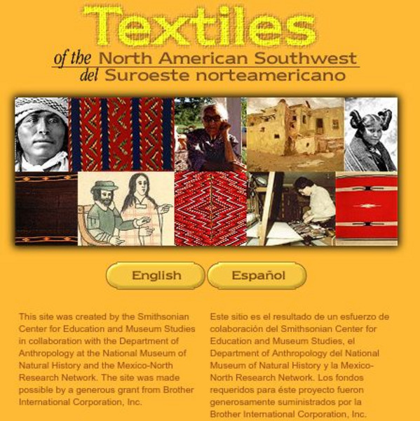
Smithsonian: Textiles of the North American Southwest
This site explores the weaving traditions of the Native American and Hispanic peoples of northern Mexico and the southwestern United States. A gallery of artifacts, timeline, map glossary, and textual descriptions are included. This is a...
Curated OER
Educational Technology Clearinghouse: Maps Etc: Capitan Mountains, 1911
The timber belts in the Capitan Mountains, New Mexico.


