Hi, what do you want to do?
Curated OER
Etc: Maps Etc: Mc Clellan's Campaign Against Richmond, 1862
A map of the region around Richmond, Virginia, showing the Civil War battle sites and operations of Union General McClellan during the Peninsula Campaign in 1862.
Curated OER
Etc: Maps Etc: Second Battle of Franklin, November 30, 1864
A map of the vicinity of Franklin, Tennessee, site of the Second Battle of Franklin. The map shows Union and Confederate positions on November 30, 1864.
Curated OER
Etc: Maps Etc: New Madrid and Island No. 10, March 1862
A map of the Mississippi River from New Madrid, Missouri, to Tiptonville at the beginning of the Siege of Island Number 10 near New Madrid in 1862 during the American Civil War. The map shows Confederate and Union military positions,...
Curated OER
Etc: United States During the Civil War, 1861 1865
A map of the United Stated during the American Civil War (1861-1865) showing State and territory boundaries, with dates of statehood for the territories from 1796 to 1861. The map is color-coded to show the Union States, Confederate...
Curated OER
Educational Technology Clearinghouse: Maps Etc: Battle of Antietam, 1862
A map of the vicinity of Sharpsburg, Maryland, site of the Battle of Antietam during the American Civil War (September 17, 1862). The map shows Union and Confederate troop positions over the course of the battle, Antietam Creek, and...
Curated OER
Etc: Maps Etc: Freedom States and Slavery States, 1854
A map of the United States at the time of the Kansas-Nebraska Act (1854) which allowed settlers to determine whether or not slavery would be allowed in their territories. The map is color-coded to show the Free States (including...
Curated OER
Educational Technology Clearinghouse: Maps Etc: Sharpsburg, September 17, 1862
A map of the vicinity of Sharpsburg, Maryland, site of the Battle of Antietam during the American Civil War (September 17, 1862). The map shows Union and Confederate troop positions over the course of the battle, Antietam Creek, and the...
Curated OER
Educational Technology Clearinghouse: Maps Etc: Battle of Gettysburg, 1863
A plan of the Battle of Gettysburg showing the positions of the Union and Confederate armies, roads, and terrain features.
Curated OER
Etc: Maps Etc: From New Orleans to the Gulf, 1862
A map of the Mississippi River from New Orleans and Lake Pontchartrain to the mouth on the Gulf of Mexico. The map shows the location of Forts Jackson and St. Philip, two Confederate forts essential to the protection of New Orleans,...
Curated OER
Etc: Maps Etc: House Vote on the Force Bill, 1833
A map of the United States showing the results of the House vote on the Force Bill of 1833 during the presidency of Andrew Jackson. The map is keyed to show the areas of votes for or against the bill. The bill authorized Jackson to use...
Curated OER
Educational Technology Clearinghouse: Maps Etc: Charleston Harbor, 1861
A map of the Charleston Harbor, South Carolina, site of the Battle of Fort Sumter (April 12-13, 1861) at the outbreak of the American Civil War. The map shows the city of Charleston and railroads, the Union held Fort Sumter at the mouth...
Curated OER
Etc: Maps Etc: First Battle of Bull Run, July 21, 1861
A map of operations for the First Battle of Bull Run or First Battle of Manassas, the initial major land battle of the American Civil War, July 21, 1861. The map shows Bull Run Creek, the towns of Manassas, Centerville, the Stone Bridge,...
Curated OER
Etc: Vicinity of Fortress Monroe, 1861 1865
A map of the vicinity of Fort Monroe near Hampton and Norfolk, Virginia, during the American Civil War. The map shows forts, coastline features, the site of the Battle of Great Bethel, and the waters of Hampton Roads off Sewell's Point...
Curated OER
Etc: The United States of America, 1783 1853
A map of the United States showing the growth of the nation from 1776-1853. This map is coded to show the thirteen original states, and the territories acquired in 1783, by the Louisiana Purchase in 1803, the northern territories, West...
Curated OER
Etc: Southward Movement of Confederate Defenses, 1861 1865
A series of maps of the southeastern states showing the gradual southward movement of the Confederate defenses during the American Civil War, keyed to show the Confederate-held territories at the outset of the war and the advance of the...
Curated OER
Educational Technology Clearinghouse: Maps Etc: Compromise of 1850, 1850
A map of the United States showing the effects of the Compromise of 1850. The map is keyed to show the free states and slave states, and notes California admitted to the Union as a free state; the Nebraska Territory as free by the...
University of Illinois
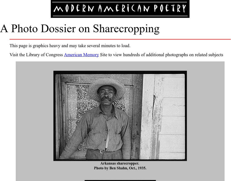
University of Illinois: Modern American Poetry: A Photo Dossier on Sharecropping
Photographs from the 1930s of both black and white sharecroppers, with some accompanying explanation.
Encyclopedia of Earth
Encyclopedia of Earth: European Union
The Encyclopedia of Earth provides an overview of European Union, including its geography, natural resources, history, government, economy, and much more. Maps and images are also included, along with sources used to create the entry.
PBS
New Perspectives on the West: Promontory Point, Utah
A map and brief description of the events at Promontory Point, Utah where the Union Pacific and Central Pacific Railroads joined to make the first transcontinental railroad.
Independence Hall Association
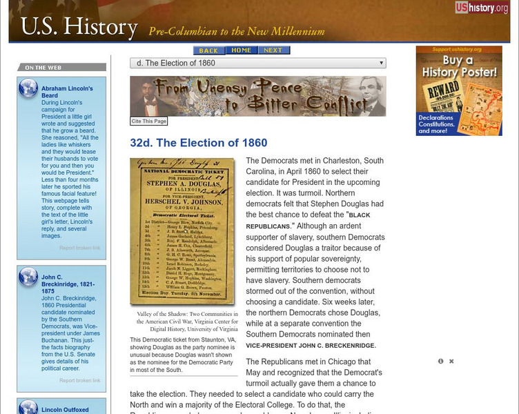
U.s. History: The Election of 1860
The election of Abraham Lincoln in 1860 was a watershed moment for the union of the country. Read about the political conventions, several candidates, and the votes that were split among them. Find a map that shows how the electoral...
Central Pacific Railroad Photographic History Museum
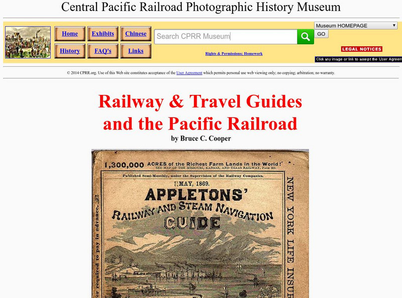
Cprr History Museum: Railway & Travel Guides and the Pacific Railroad
Ride the rails in the late 19th century by following these travel guides for railroads across the country. Find copies of the guides showing time tables, maps, and descriptions of the trips.
Other
Military History Encyclopedia on the Web: Battle of Ball's Bluff
Read a description of the relatively minor Battle of Ball's Bluff and find out the political ramifications of the battle. Included is a battle map.
Other
7th Kansas Cavalry in the Civil War
Included on this website are the diary of a member of the 7th Kansas Cavalry and the regimental histories. Interesting reading. See the Site Map to view a list of everything on the website.
Kentucky Educational Television
Kentucky Educational Television: Geology and the Civil War: Battle of Perryville
An interesting look at the Battle of Perryville based on the geology of the region. A map shows the initial and final positions of both the Union and Confederate armies.


