Curated OER
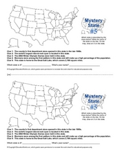
Mystery State # 5
Mystery state number five is none other than Utah! Quiz your kids on state knowledge while building deductive reasoning skills. They use each of the five clues to determine the name of the mystery state. A great warm up when studying...
Curated OER
Mystery State #2
Which is the mystery state for today? Using five super clues, your class will work to uncover which state is being described. They'll have no problem remembering facts about Nevada after this fun warm-up activity.
Curated OER
USA Capitals Map
In this United States political map learning exercise, students examine state boundaries and locations of each of the state capitals.
Curated OER
United States of America Map
In this United States of America map worksheet, students examine boundaries of each of the 50 states in the nation. This map not is labeled.
Curated OER
United States Outline Map
In this United States outline map worksheet, students note the political boundaries of the states that are labeled with state capitals.
Curated OER
United States of America Map: Capitals
In this United States outline map worksheet, students note the political boundaries of the states that are labeled with postal abbreviation codes as well the labeled state capitals.
Curated OER
United States of America: 1860
In this United States historical map worksheet, students examine the boundaries of the states and territories of the nation in 1860. This map is unlabeled.
Curated OER
United States of America: 1860
In this United States historical map worksheet, students examine the boundaries of the labeled states and territories of the nation in 1860.
Curated OER
War of 1812: Map and Label
Map test! Hand out this map of the East Coast of the United States and let learners mark each of the nine sites listed. They'll be making a map that shows the battle sites and areas involved in the War of 1812. Great as a test or as a...
Curated OER
Do You Know Your 50 States?
Learners use the names and abbreviations of the 50 states to label a blank map of the United States.
University of California
The Civil War: Secession of the South
Was the Southern states' decision to secede from the Union protected by the United States Constitution? Eighth graders discuss the constitutionality of the South's justification for secession, particularly the secession of South...
Curated OER
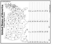
United States Capital Cities
In this identifying the United States Capital cities worksheet, students use a United States map and a list of state abbreviations to write each state' s and the District of Columbia's capital city. Students write 51 answers.
Curated OER
Utah: State History
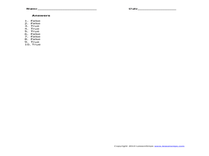
In this Utah state history worksheet, students read two and a half pages of information about Utah and complete 10 true and false questions.
Curated OER
States in the USA Quiz
In this online interactive geography quiz learning exercise, students respond to 50 identification questions about the states in the United States of America. Students have 4 minutes to complete the quiz.
Carolina K-12
Sample Test: The Judicial System
From Marbury v. Madison and original jurisdiction to Gideon v. Wainwright and civil appeal, here is a simple and comprehensive assessment on the judicial system of the United States.
Curated OER
The Great Lakes
In this Great Lakes worksheet, students observe the Great Lakes location on a partial U.S. map, write their names in the acronym HOMES, list them in order from largest to smallest, and identify states that border them. Students write...
Curated OER
Map Study
In this geography instructional activity, students study the United States. Students respond to 6 multiple choice questions about the map.
Curated OER
Know Your US States
In this online interactive map learning exercise, students examine a map of the United States to find the state number and write the names of the states in the provided boxes.
Curated OER
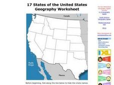
17 states
In this states instructional activity, students label states in the United States that are on the west side of the country. Students label 17 states.
Curated OER
State to State Scavenger Hunt
In this states worksheet, students utilize the Internet to access one specific website to locate the answers to five fill in the blank statements about the states found on a United States map.
Curated OER
USA Map
In this United States political map worksheet, students examine state boundaries. The map may be used in a variety of classroom activities.
Curated OER
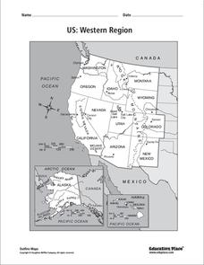
US: Western Region Map
In this United States Western Region worksheet, students examine the state boundaries and landforms found in this region. The map also highlights each of the state capitals.
Curated OER
USA Postal Abbreviations Map
In this United States political map worksheet, learners examine the postal abbreviations of each of the states.
Curated OER
United States 1860
In this United States historical map worksheet, students examine the state and territorial boundaries as well as the large cities of the nation in 1860.
Other popular searches
- United States Map Skills
- United States Map
- Blank United States Map
- United States Map Activities
- United States Map Questions
- Northeast United States Map
- United States Map Games
- United States Political Map
- United States Rivers Map
- Blank Map of the United States
- United States Regions Map
- United States Map Worksheet


