Hi, what do you want to do?
Other
Natural Resource Information Center: Maps of Montana
Resource contains 14 different maps of Montana in four different formats. Maps range anywhere from the county maps to the Indian reservation maps.
Other
Natural Resource Information Center: Maps of Montana
Resource contains 14 different maps of Montana in four different formats. Maps range anywhere from the county maps to the Indian reservation maps.
Other
Flags of the World: Clickable Flag Map of the Us
This interactive map of the United States provides a detailed description of the flag of each state and its history. Each state has a colorful picture of the flag and extensive information about state flags, banners, and crests.
US Geological Survey
Us Geological Survey: Map of Ring of Fire
A clear map of the Ring of Fire, with each volcano named. There are a few sentences of caption under the map.
Other
Mapof us.org: Maps of Mississippi
A collection of interactive maps and primary source documents including atlases and maps of Mississippi.
Khan Academy
Khan Academy: What Maps Tell Us
Maps are subjective, and like any form of art and design they have stories to tell and reveal a lot about the times in which they were produced. Maps involve selections of information, human editing, and a visual language legible to the...
CRW Flags
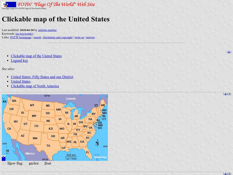
Flags of the World: Clickable Map of the United States
Includes both printable images and fascinating trivia behind the flag of each state. It includes alternate flags used in the past.
A&E Television
History.com: The States
Learn unique facts about each American state. You can also read a more in-depth history of each state, watch videos and play a game about all the states.
Other
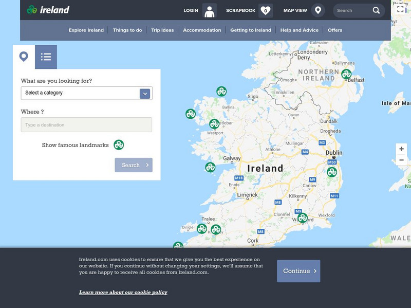
Ireland: Explore by Map
An interactive map of Ireland, with the ability to zoom-in or zoom-out, plus detailed maps of regions and cities. A link to the current weather in Ireland is also available.
NOAA
Noaa: Esrl: United States Climate Page
A "clickable" map of the US that allows you to find information about a state's or city's climate and climate history.
NOAA
Noaa: Esrl: United States Climate Page
A "clickable" map of the US that allows you to find information about a state's or city's climate and climate history.
US Mint
U.s. Mint: Let's Build a Map [Pdf]
In this four-part lesson, students study the map of the Louisiana Purchase and the trail of Lewis and Clark's Expedition. Then, build a classroom map displaying the events of the Westward Expansion.
Annenberg Foundation
Annenberg Learner: u.s. History Map Interactive
Become a geography whiz as you learn how the United States was settled. Discover how the continent was irrevocably changed by European colonization, the events that caused the wholesale displacement and decimation of the land's original...
Maps of Mexico
Virtual Picture Travel Map of Massachusetts
Click on Massachusetts on the US map in order to Travel there and take a virtual tour of Boston. Visit places of interest such as Harvard University, MIT, John F. Kennedy Library and Museum, the Freedom Trail, Copley Square, Trinity...
Maps of Mexico
Virtual Picture Travel Map of Massachusetts
Click on Massachusetts on the US map in order to Travel there and take a virtual tour of Boston. Visit places of interest such as Harvard University, MIT, John F. Kennedy Library and Museum, the Freedom Trail, Copley Square, Trinity...
US Geological Survey
Us Geological Survey: Gulkana Glacier
Overview and maps of the Gulkana Glacier along the south flank of the eastern Alaska Range.
US Department of State
U.s. Dept. Of State: Afghanistan
Background notes and map of Afghanistan comprise the front page. See menu items for further information such as reports from the U.S. Embassy in Kabul, US aid in Afghanistan, NATO in Afghanistan, and notes on Rebuilding Afghanistan.
Alabama Learning Exchange
Alex: Sonar Mapping of the Ocean Floor
Mapping the ocean floor must be done by indirect observation. One method involves bouncing a sonar signal off of the ocean floor and measuring the length of time this signal takes to return. This length can be translated into distance:...
BBC
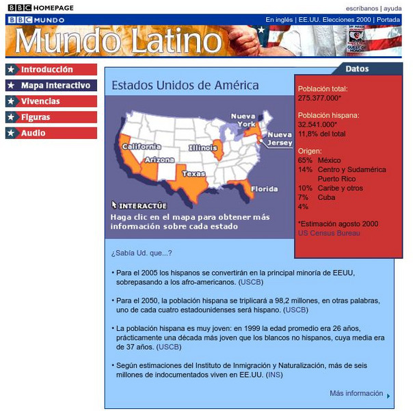
Bbc: Estados Unidos De America/united States of America
Review accurate and up to date statistics on the population of Hispanics in the United States. Click on the different states and find how Hispanics are becoming the number one minority in the United States.
University of California
Us Geological Survey: Cartogram Central
The USGS offers detailed information on Types of Cartograms, Congressional Districts, Software for Cartograms, Publications, and a Carto-Gallery.
Other
Honolulu Hi 5: Cool Maps With Awesome Weather Data Across 1,219 Us Cities
Explore the weather in states and cities across the United States. Two maps with accompanying graphs are provided. The first indicates the number of comfortably warm summer days a place has and the second shows the temperature and how...
Annenberg Foundation
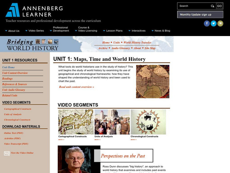
Annenberg Learner: Bridging World History: Maps, Time, and World History
Learn how map projections and chronological constructs are used in the study of world history and help us to understand and interpret the past. Part of a larger site on world history, this unit on maps offers complete reading,...
National Geographic
National Geographic: Map of Nebraska
Basic outine map of the state of Nebraska, including major cities.
Other
Nasta: State Departments of Education
This interactive map of the U.S. provides access to individual state departments of education in all fifty states.
Other popular searches
- Map of Usa
- Map of the Usa
- Blank Map of Usa
- Topography Map of Us
- Us Geography Map of Texas
- Blank Map of Us
- Map of Us Cities






![U.s. Mint: Let's Build a Map [Pdf] Lesson Plan U.s. Mint: Let's Build a Map [Pdf] Lesson Plan](https://content.lessonplanet.com/knovation/original/249029-024660939f27fa1ea8589c5fba13f0e6.jpg?1661243095)


