Hi, what do you want to do?
Other
Everytrail: Trail Map of San Andreas Fault Trail Exploration
Use this map on the San Andreas Fault by following lines of posts that mark the various fault breaks in the Los Trancos Open Space Preserve. The trail takes hikers to see some of the effects of earthquakes in this otherwise tranquil...
NOAA
Noaa: Esrl: United States Climate Page
A "clickable" map of the US that allows you to find information about a state's or city's climate and climate history.
NOAA
Noaa: Esrl: United States Climate Page
A "clickable" map of the US that allows you to find information about a state's or city's climate and climate history.
Maps of Mexico
Virtual Picture Travel Map of Massachusetts
Click on Massachusetts on the US map in order to Travel there and take a virtual tour of Boston. Visit places of interest such as Harvard University, MIT, John F. Kennedy Library and Museum, the Freedom Trail, Copley Square, Trinity...
Maps of Mexico
Virtual Picture Travel Map of Massachusetts
Click on Massachusetts on the US map in order to Travel there and take a virtual tour of Boston. Visit places of interest such as Harvard University, MIT, John F. Kennedy Library and Museum, the Freedom Trail, Copley Square, Trinity...
Other
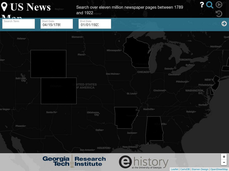
Georgia Tech Research Institute: Chronicling America: Us News Map
A fascinating way to look at history, this interactive map lets you search for a person, event, issue, etc. over a specified time frame and it maps newspapers containing related content onto a map of the United States. An additional...
Other
The Story of the Us Told in 141 Maps
This collection of United States maps includes a year-by-year. Beginning from the Declaration of Independence and extending to present-day, students will learn explore and interact with these maps that change year-by-year.
University of California
Us Geological Survey: Cartogram Central
The USGS offers detailed information on Types of Cartograms, Congressional Districts, Software for Cartograms, Publications, and a Carto-Gallery.
University of Oregon
University of Oregon: Mapping History: Kansas Nebraska Act: 1854
Toggle back and forth on this interactive map to see how the Kansas-Nebraska Act of 1854 completely negated the Missouri Compromise. Click on the map to see where slavery was permitted before 1854 and then after. Be sure to click on the...
Maps of Mexico
Virtual Picture Travel Map of Massachusetts
Click on Massachusetts on the US map in order to Travel there and take a virtual tour of Boston. Visit places of interest such as Harvard University, MIT, John F. Kennedy Library and Museum, the Freedom Trail, Copley Square, Trinity...
Maps of Mexico
Virtual Picture Travel Map of Massachusetts
Click on Massachusetts on the US map in order to Travel there and take a virtual tour of Boston. Visit places of interest such as Harvard University, MIT, John F. Kennedy Library and Museum, the Freedom Trail, Copley Square, Trinity...
University of Oregon
University of Oregon: Mapping History: The Spread of Cotton: 1790 1860
An interactive map that shows the growth of cotton production in pre-Civil War South. The timeline at the bottom of the map indicates the year of the production.
Other
Accu weather.com: Precipitation Maps
A comprehensive site of precipitation maps for the entire U.S., regions of the U.S., individual states, and areas around the world. Includes maps showing predicted precipitation, actual precipitation, and accumulated precipitation. It...
University of Oregon
Mapping History: American History
Interactive and animated maps and timelines of historical events and time periods in American history from pre-European times until post-World War II.
The Washington Post
Washington Post: Mapping America's Wicked Weather and Deadly Disasters
Features data collection for natural disasters and maps the trends giving us an idea of where disasters have a tendency to strike.
Other
Fdlrs: Thinking Maps: Examples From Brevard Public Schools
See examples of the use of the eight graphic organizers from Thinking Maps. These maps help students organize their learning and identify ways to reflect different kinds of text. The several examples from each grade K-6 show how to use...
National Weather Service
National Weather Service: Precipitation Analysis
This interactive map of the US is color coded to show the quantity of rain received throughout the country. Selections can be made to focus on certain areas and certain time frames.
Other
Usgs: The National Map: Us Topographical Map
Use this map to explore the topography of the United States.
Other
Weather Pages: Thunderstorm Map
This site contains a map of the Average Annual Days of Thunderstorms in the US. Cities are ranked in a table according to their average annual thunderstorm. Look for your city!
Curated OER
Etc: Maps Etc: Physical and Political Map of Africa, 1879
Map of pre-colonial Africa, showing the predominately native countries and territories of the African continent in 1879. The counties include the Barbary States of Morocco, Algeria, Tunis, Tripoli and Fezzan, the Egyptian territories of...
US Army Center
U.s. Army Center of Military History: Map of the Battle of the Ch'ongch'on
This US Army site features a very detailed battle map from the November 25-28, 1950 battle.
US Geological Survey
Usgs: u.s. Atlantic Continental Margin Gloria Mapping Program
This site from the U.S. Geological Survey allows you to access detailed images of the continental margin around the United States. There is additional information about the sonar methods used, and a wealth of additional sources listed.
Curated OER
Educational Technology Clearinghouse: Maps Etc: Treaty With Spain, 1819
A map of the western United States and northern Mexico showing the territorial disputes settled and boundary established by the Adams-Onis Treaty between the United States and Spain in 1819. The territorial disputes involved the natural...
Curated OER
Educational Technology Clearinghouse: Maps Etc: Trade and Migration, 1840 1850
A map of the United States showing the principal trade and westward migration routes between 1840 and 1850. The map shows state and territory boundaries at the time, major cities, ports, outposts, forts, and settlements, rivers, mountain...
Other popular searches
- Map of Usa
- Map of the Usa
- Blank Map of Usa
- Topography Map of Us
- Us Geography Map of Texas
- Blank Map of Us
- Map of Us Cities


