Hi, what do you want to do?
Curated OER
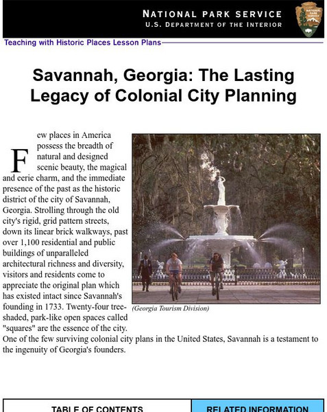
National Park Service: Savannah, Ga: Lasting Legacy of Colonial City Planning
The site explores the colonial history of the city of Savannah, Georgia. This interactive lesson has excellent information, an inquiry question, historical context, maps, readings, images, and activities.
Other
Honolulu Hi 5: Cool Maps With Awesome Weather Data Across 1,219 Us Cities
Explore the weather in states and cities across the United States. Two maps with accompanying graphs are provided. The first indicates the number of comfortably warm summer days a place has and the second shows the temperature and how...
A&E Television
History.com: The States
Learn unique facts about each American state. You can also read a more in-depth history of each state, watch videos and play a game about all the states.
Other
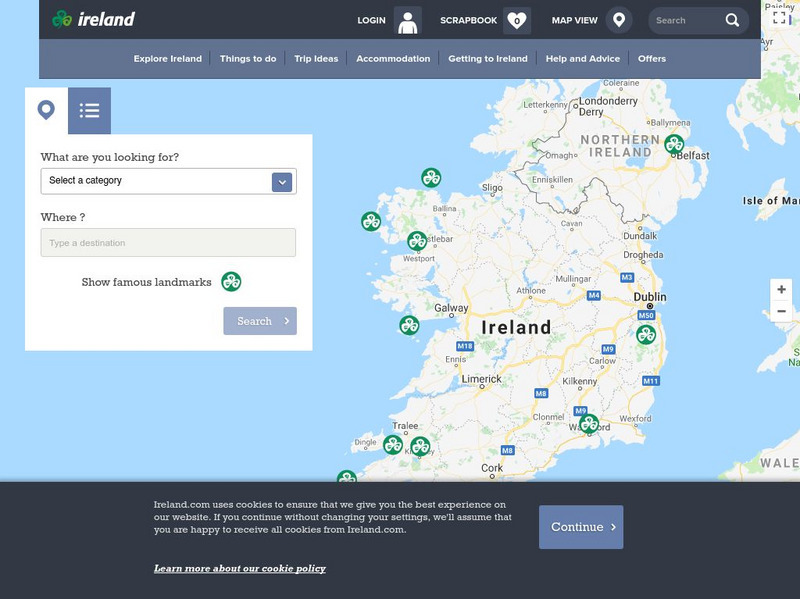
Ireland: Explore by Map
An interactive map of Ireland, with the ability to zoom-in or zoom-out, plus detailed maps of regions and cities. A link to the current weather in Ireland is also available.
National Geographic
National Geographic: Map of Nebraska
Basic outine map of the state of Nebraska, including major cities.
Other
Accu weather.com: Precipitation Maps
A comprehensive site of precipitation maps for the entire U.S., regions of the U.S., individual states, and areas around the world. Includes maps showing predicted precipitation, actual precipitation, and accumulated precipitation. It...
Other
Weather Pages: Thunderstorm Map
This site contains a map of the Average Annual Days of Thunderstorms in the US. Cities are ranked in a table according to their average annual thunderstorm. Look for your city!
Curated OER
Etc: Maps Etc: Physical and Political Map of Africa, 1879
Map of pre-colonial Africa, showing the predominately native countries and territories of the African continent in 1879. The counties include the Barbary States of Morocco, Algeria, Tunis, Tripoli and Fezzan, the Egyptian territories of...
Teacher Oz
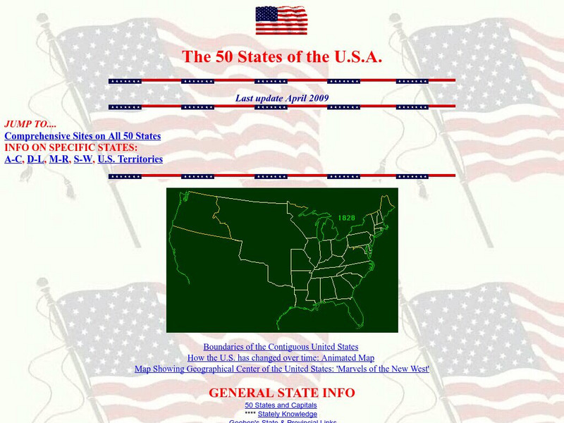
Teacher Oz: 50 States of the u.s.a.
A site with information such as maps, flags and songs of each of the 50 states in the US.
Curated OER
Educational Technology Clearinghouse: Maps Etc: Trade and Migration, 1840 1850
A map of the United States showing the principal trade and westward migration routes between 1840 and 1850. The map shows state and territory boundaries at the time, major cities, ports, outposts, forts, and settlements, rivers, mountain...
Curated OER
Educational Technology Clearinghouse: Maps Etc: United States, 1917
A map of the United States and territories showing the expansion from the formation of the original states to the purchase of the Danish West Indies (Virgin Islands) in 1917. The map is color-coded to show the original states, the states...
Curated OER
Educational Technology Clearinghouse: Maps Etc: The New West, 1889 1912
A map of the western United States showing the rapid growth of the New West between 1885 and 1912 during the presidencies from Benjamin Harrison to Howard Taft. The map is color-coded to show the States admitted to the Union before the...
Curated OER
Educational Technology Clearinghouse: Maps Etc: Seat of the Creek War, 1813
A map of the Mississippi Territory at the time of the Creek War between the Creek Nation (Muscogee) and the Cherokees, Choctaws, and eventually the United States (1813-1814). The map shows the U.S. forts in the area (Armstrong, Strother,...
Curated OER
Etc: Maps Etc: The United States Population and Railroad Network, 1901
A map from 1901 of the United States showing population density, railroad lines, state capitals, and census centers of population at the time. The red figures indicate the mean population density per square mile for each state according...
Yale University
The Yale Map Collection: Online Maps
Yale University provides us with one of the largest collection of maps in the United States. Here you can view historical online maps covering a variety of subjects.
Other
City Data
A great source for finding stats and data about U.S. cities compiled from a variety of government and commercial sources. Profiles both large and small cities and includes maps, pictures, population, income and geographical data.
Curated OER
Educational Technology Clearinghouse: Maps Etc: Civil War, 1861 1865
A series of maps showing important campaigns and regions of the American Civil War (1861-1865). The maps show important cities and towns, railroads and campaign routes, terrain and coastal features, and rivers. The maps include (1)...
Curated OER
Educational Technology Clearinghouse: Maps Etc: Red River Expedition, 1864
A map of Louisiana and Mississippi showing the area of the Red River Campaign of 1864 during the American Civil War (March 10 to May 22). The map shows major cities and towns, forts, railroads, rivers, and coastline, and includes the...
Curated OER
Educational Technology Clearinghouse: Maps Etc: Campaigns in Missouri, 1861
A map of Missouri showing the operations in the area during the first year of the American Civil War (1861). The map shows the cities of St. Louis, Jefferson City, and Springfield, the routes of Union campaigns, and the engagements at...
Curated OER
Etc: Route of the Us Army in Mexican American War, 1846 1848
A map of the area between Mexico City and Vera Cruz showing the route of General Scott during his campaign in the Mexican-American War (1847). The map shows the battle sites, including the siege of Fort San Juan de Ulloa and Vera Cruz,...
Curated OER
Educational Technology Clearinghouse: Maps Etc: The War in the East, 1863
A map showing the major battle sites in the east in 1862-1863 during the American Civil War. The map shows major cities, rivers, and the sites of Fredericksburg, Chancellorsville, Wilderness, Spottsylvania, Mount Cedar, Mechanicsville,...
Curated OER
Educational Technology Clearinghouse: Maps Etc: The Civil War, 1861 1865
A map of the southeastern part of the United States showing important sites of the Civil War (1861-1865). The map shows major cities, railroads, rivers, and terrain of the region. An inset map shows northeastern Virginia, with forts and...
Curated OER
Educational Technology Clearinghouse: Maps Etc: Atlanta to Savannah, 1864
A map of part of Georgia in 1864 showing the area of the march by Sherman from Atlanta to Savannah. The map shows cities and towns, roads, railroads, rivers, and coastal features in the area from Decatur to Savannah, including Macon,...
Curated OER
Educational Technology Clearinghouse: Maps Etc: Chattanooga Campaign, 1863
A detailed map of the area around Chattanooga, Tennessee, showing the region during the Chattanooga Campaign of the American Civil War in October-November, 1863. The map shows the state boundaries of Tennessee, Alabama, and Georgia,...


