Hi, what do you want to do?
DLTK
Wisconsin State Map
Provides a blank map of Wisconsin. Teachers will find many uses for this in the classroom. Students will enjoy coloring it and locating different parts of the state.
DLTK
Texas State Map
Provides a blank map of Texas. Teachers will find many uses for this in the classroom. Students will enjoy coloring it and locating different parts of the state.
Enchanted Learning
Enchanted Learning: Alabama Facts, Map and State Symbols
Do you need information about Alabama? Find facts, a map, and state symbols. Pictures of many of the state symbols are included.
Enchanted Learning
Enchanted Learning: Texas Facts, Maps, and State Symbols
This site has a colorful display of information about Texas. It contains a map, pictures, a list of state symbols, and links to related information.
Enchanted Learning
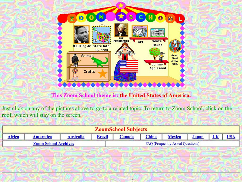
Enchanted Learning: Zoom School: United States of America
Use this resource to explore each state to get facts, maps and symbols; learn about the presidents; read about bald eagles and dinosaur fossils found in the U.S., find fun and exciting patriotic crafts and more.
Enchanted Learning
Enchanted Learning: Pennsylvania: Facts, Map, and State Symbols
A list of key facts about the state of Pennsylvania, including information about Pennsylvania's state symbols. Useful extras for teachers include black-line masters of concept diagrams, maps, and thought organizers.
Other
First Gov: Official Portal of the u.s. Government
A launching point for information about the U.S. government and its resources. One can search FirstGov by keyword or phrase, by browsing a topics list, or by selecting a federal branch (executive, legislative, or judicial). State and...
Constitutional Rights Foundation
Constitutional Rights Foundation: A Fire Waiting to Be Lit: The Origins of World War I
Complete learning module on the origins of World War I. Includes article with map, photos, primary source excerpts and questions for discussion as well as four common core activities, instructions and handouts for students and teachers....
University of Texas at Austin
Perry Castaneda Library Map Collection: u.s. Maps
At this site find any type of map on the U.S. and any of its states here. Great site for teachers to print out maps to use in the classroom.
NOAA
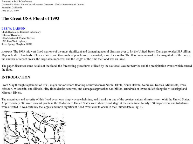
Noaa: The Great Usa Flood of 1993
Interesting abstract about the flood that hit the Midwest in 1993, one of the worst floods in United States History. Find out why the flood occurred, the damage, maps of the damage, charts, graphs, and statistics.
DLTK
Maine State Map
This blank map of Maine can be used for geography and other social studies lessons.
DLTK
Massachusetts State Map
Provides a blank map of Massachusetts. Teachers will find many uses for this in the classroom. Students will enjoy coloring it and locating different parts of the state.
DLTK
South Dakota State Map
Provides a blank map of South Dakota. Teachers will find many uses for this in the classroom. Students will enjoy coloring it and locating different parts of the state.
Google
Google Maps: Grand Canyon, Usa
Explore the views of the Grand Canyon. This resource uses the Street View Trekker, a wearable backpack system that allows us to venture to locations only accessible by foot. It showcases areas of the Grand Canyon that otherwise would be...
Information Technology Associates
Information Technology Associates: Quick Maps
View countries of the world. Maps are quick and easy to read. Some are designed to be printed out for coloring and/or labeling.
Enchanted Learning
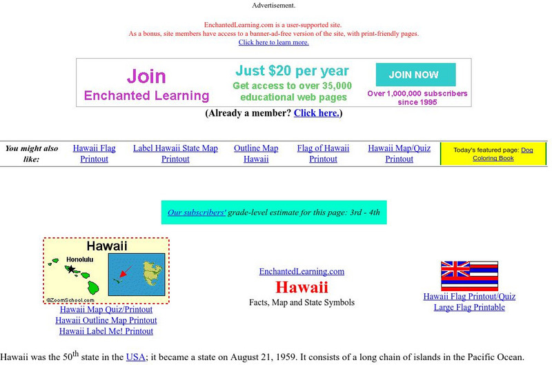
Enchanted Learning: Hawaii Facts, Map, and State Symbols
This is a colorful collection of maps, facts and symbols of Hawaii. Also includes the Hawaiian flag.
Enchanted Learning
Enchanted Learning: Major Rivers of Texas
This is a very brief site that offers a map with the major rivers of Texas.
US Geological Survey
Us Geological Survey: Water Properties: P H
This resource explains what pH is and how it relates to water. The resource includes a colored graphic of the pH levels and a map of pH levels around the USA.
Burke Museum
Burke Museum: Waterlines: Discover & Explore Seattle's Past Landscapes
Seattle is one of the most dramatically engineered cities in the USA. This rich interactive website enables people to see how Seattle's various landscapes have changed over time. The site starts out with an interactive map of the Puget...
Other
Quiz Hub: u.s. Map Game
Test your knowledge of United States geography by playing this U.S. map game. Game is timed.
ABCya
Ab Cya: Geography Practice: Usa Puzzle Map
Assemble a puzzle of the United States to test your knowledge of its geography.
Texas Instruments
Texas Instruments: Navigating the Usa With the Coordinate Plane
The students will be plotting points on the United States Map. This background and activity could be used and/or modified to fit any social studies class. Students could explore topics ranging from graphing coordinates in pre-algebra to...
PurposeGames
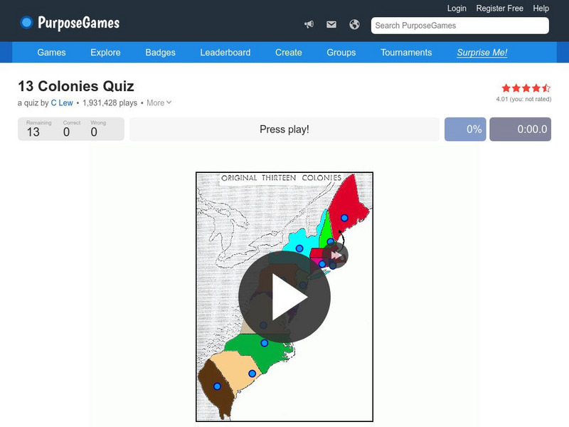
Purpose Games: Can You Identify the 13 Original Colonies of the Usa?
Play this interactive game to test your knowledge of the original thirteen colonies. Can you find them on a map?


