Other
Geoscience Australia: Map Reading Guide: How to Use Topographic Maps [Pdf]
A topographic map can be challenging to read. This guide explains how to decipher one and how to use a magnetic compass to orient yourself to the landscape. It also explains how to use GPS coordinates.
Enchanted Learning
Enchanted Learning: Map Reading Activity #1
At this site from Enchanted Learning, students can use this printable worksheet and then follow the directions given and practice their map reading skills.
Library of Congress
Loc: Waldseemuller's Map: World 1507
Discover a fascinating primary source document and share with students the historical relevance Waldseemuller's map has to our world today. Map reading, analyzing, and drawing conclusions as to why this particular map carries so much...
Microsoft
Microsoft: Map Reading in the 21st Century
Learners learn how to make informed use of new digital mapping information and tools. Learners create hands-on learning experiences for understanding the relevance of maps. The lesson plan consists of student activities, resources,...
Library of Congress
Loc: Zoom Into Maps
What can we learn from maps? How can we use maps? How can we best read maps? Find out the answers to these with detailed explanations of making the most of maps presented to us. Examples of historical, pictoral, miratory, etc. types of...
University of Texas at Austin
The Perry Castaneda Library Map Collection
This collection contains more than 250,000 maps covering all areas of the world, and ranging from political and shaded relief maps to the detailed and the historical. Select from a region of the world or an area of highlighted interest.
ProProfs
Pro Profs Quiz Maker: Map Reading Awareness Quiz
This is a nine-question quiz about information on maps and parts of a map. The questions are timed, but not limited.
Other
Georgia Perimeter College: Concept Mapping
This resource provides detailed instruction on how to create concept maps, appropriate for older students who have never been introduced to concept mapping. It provides clear steps and an example of a partial concept map.
Other
La Rue Literacy Exercises: Reading a Map: Quiz 12
In this quiz, students are given sections of a map with locations like the school, post office, back, etc. They are asked questions about directions from one place to the other.
University of South Florida
Fcat Express: Story Mapping
Site provides extensive assistance in preparing 4th grade students for Florida Comprehensive Assessment Test. This section focuses on story mapping, which helps students put events of a story in sequential order.
Annenberg Foundation
Annenberg Learner: Bridging World History: Maps, Time, and World History
Learn how map projections and chronological constructs are used in the study of world history and help us to understand and interpret the past. Part of a larger site on world history, this unit on maps offers complete reading,...
Other
California State University: Topographic Map Symbols
Click on any of the geographical terms on this website to see examples that illustrate the symbols commonly used on maps. Includes boundaries, building symbols, caves, mines, elevation symbols, coastal features, and more.
Other
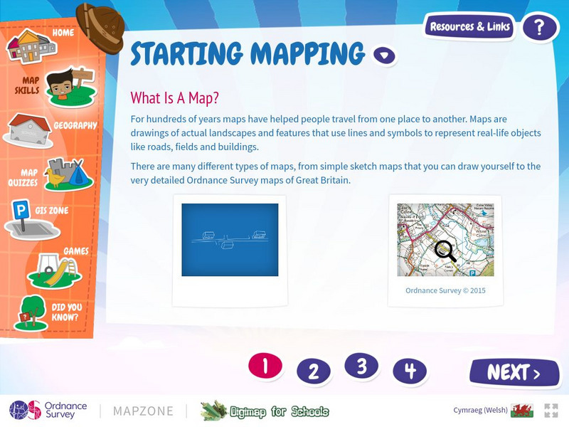
Map Zone: Starting Mapping
Discover the basics of mapping by reading about what maps are, what they provide, how to fold them, and how to use them properly. Content focuses on Great Britain.
Other
Richard Phillips: Making Maps Easy to Read
This geography research project surveys factors that make maps easy to read and to use.
Other
Map Zone: Compasses and Directions
Sharpen map skills by exploring these map pages. Learn about the compass rose, different norths, and how to use a compass.
Library of Congress
Loc: Teachers: Local History: Mapping My Spot in History
Through interpreting and investigating historical maps, students gain new perspective not only of their local communities but also of their own homes. Student activities include collecting data about their homes, reporting on the...
CK-12 Foundation
Ck 12: Earth Science: Maps
[Free Registration/Login may be required to access all resource tools.] How to use topographic, bathymetric, and geologic maps.
Stanford University
Sheg: Document Based History: Reading Like a Historian: Mapping the New World
[Free Registration/Login Required] Students read primary source documents to solve a problem surrounding a historical question. This document-based inquiry lesson allows students study two 17th-century maps of Virginia and think...
Other
Ordnance Survey: Map Zone: Measuring Distance
Read how to measure distance on maps using straight lines, string, or a ruler in order to strengthen students' mapping skills.
Curated OER
University of Texas: Maps: Tajikistan: Political Map
Here's an easy to read political map of Tajikistan with its important cities, province borders, major highways, and railroads.
Sophia Learning
Sophia: Note Taking: Concept Maps and Flow Charts
This slideshow lesson focuses on note taking using concept maps and flow charts; it provides background information, 6 types of concept maps or flow charts with best uses, uses in the classroom, uses while reading or researching, and how...
Other
Ordnance Survey: Map Zone: Relief and Contour Lines
Discover how to read and show height on maps using relief and contour lines.
Curated OER
University of Texas: Small Map of Vietnam
Look at a map of Vietnam with all the major cities and the Mekong River and delta. Very easy to read.
Curated OER
University of Texas: Sri Lanka: Relief Map
A very easy to read relief map of Sri Lanka from the Perry-Castaneda Collection showing the land forms along with the major highways and rail lines.
Other popular searches
- Map Reading Skills
- Earth Science Map Reading
- Esl Map Reading
- Map Reading Activities
- Reading a Map
- Basic Map Reading
- Map Reading Powerpoint
- Topographic Map Reading
- Map Reading Grade 6
- Lessons on Map Reading
- Elements of Map Reading
- Geography Map Reading Skills
![Geoscience Australia: Map Reading Guide: How to Use Topographic Maps [Pdf] Handout Geoscience Australia: Map Reading Guide: How to Use Topographic Maps [Pdf] Handout](https://d15y2dacu3jp90.cloudfront.net/images/attachment_defaults/resource/large/FPO-knovation.png)


