Hi, what do you want to do?





TeachEngineering
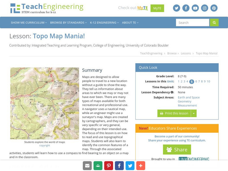
Teach Engineering: Topo Map Mania!
Maps are designed to allow people to travel to a new location without a guide to show the way. They tell us information about areas to which we may or may not have ever been. There are many types of maps available for both recreational...
TeachEngineering
Teach Engineering: Assessing the Situation
In this activity, students will use the scale, the key, and longitude and latitude on a map to determine where they have crashed. They will then use the map scale to determine the distance to the nearest city and how long it will take...
American Geosciences Institute
American Geosciences Institute: Earth Science Week: Texas Rocks
For this investigation, students start exploring the U.S. Geological Survey's (USGS) online version of the geologic map of Texas. The geologic time scale shown will help them figure out how old the rocks are in various parts of Texas.