PBS
Map a Model Solar System
Creating a solar system map is a snap thanks to a hands-on activity! Science scholars explore the solar system by building it wherever they choose during an interactive from PBS's Space series. Users pick both the location and scale for...
Curated OER
Musical Plates-Earthquakes
In this plotting earthquake data learning exercise, learners use a large world map and given web sites showing the latitude and longitude for the epicenter of recent earthquakes around the world. Students plot 2 weeks of earthquake data...
Curated OER
Today's Weather
In this weather worksheet students complete an interactive activity and complete a series of short answer questions on temperature and weather fronts and predict the weather.
Curated OER
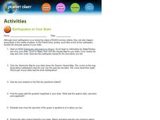
Earthquakes In Your State
For this earthquake worksheet students complete an interactive activity then answer a series of short answer questions on different earthquakes and their magnitude, and epicenter.
Curated OER
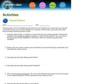
Tsunami Waves
In this tsunami waves learning exercise, students explore data from the Indonesian tsunami of 2004 and answer ten questions about the data. They draw conclusions about the devastation and destruction based on the amplitude and speed of...
Curated OER
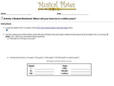
Where Will Your Home be in a Million Years?
In this house movement worksheet, students look at the gps website given and locate where their home may be and what climate change will take place in a million years. Students complete 9 questions.
Shodor Education Foundation
Shodor Interactivate: Image Tool
Measure angles, distances, and areas in several different images (choices include maps, aerial photos, and others). A scale feature allows the user to set the scale used for measuring distances and areas.


