Curated OER
Mapping the Transcontinental Journey
Students develop their geography skills. In this Lewis and Clark lesson, students collaborate to calculate the time and distance of different segments of the expedition. Students compare their estimate to Lewis and Clark's.
Curated OER
Transportation and Mapping
Students view murals that depict various modes of transportation. They discuss the importance of maps to navigation and create a map. They compare and contrast transportation of the past with modes of transportation used today.
Curated OER
China Quest
Read and research information on China. Young researchers complete a knowledge hunt about China then locate and describe each location using directional words. They recognize the word meaning through context clues and application practice.
Curated OER
Mapping the Aegean Seafloor
Earth science learners create a two-dimensional topographic map of the floor of the Aegean Sea. They use it to then create a three-dimensional model of the ocean floor features. This comprehensive resource delivers strong background...
Curated OER
Mapping the Brain
A virtual 3-D tour leads students to developing icons representing the function of various parts of the brain. These icons are then used to label hand-drawn maps of the brain. A worksheet, assessment, and detailed procedures are included.
Curated OER
Fossil Fuels (Part I), The Geology of Oil
Junior geologists work through three mini-lessons that familiarize them with the formation and location of fossil fuels. Part one involves reading about petroleum and where it comes from via a thorough set of handouts. A lab activity...
Curated OER
The Places We Will Go
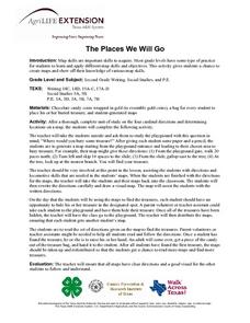
Second graders demonstrate basic map skills. They each bury a bag of chocolate coins, create a map with directions to find their "treasure," and follow another student's directions to locate a bag of coins.
Curated OER
We're Gonna Have A Party
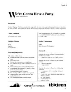
First graders explore map skills. They discuss the map vocabulary and use directions to find a location on a map. Students discuss and use the components of a map to answer a variety of questions. They use the map and directions to find...
Curated OER
Map Puzzles
Students make puzzles from world maps, dramatizing how much of the globe is covered by ocean.
NOAA
Mapping the Ocean Floor: Bathymetry
Bathymetry is not a measure of the depths of bathtubs! Through the three lessons, scholars explore two different types of maps and how they are made. The resource focuses on topographic and bathymetric maps and teaching the techniques...
Academy of American Poets
Teach This Poem: "Maps" by Yesenia Montilla
After examining a physical map of the world, learners conduct a close reading of Yesenia Montilla's poem "Maps." They note the interesting words and phrases, the way the poem is structured, and list questions they might have. After...
Polar Trec
Playground Profiling—Topographic Profile Mapping
The Kuril islands stretch from Japan to Russia, and the ongoing dispute about their jurisdiction prevents many scientific research studies. Scholars learn to create a topographic profile of a specific area around their schools. Then they...
EngageNY
Reading the Map and Beginning Chapter 1
Seventh graders begin their study of Linda Sue Park's A Long Walk to Water by discussing scenarios related to the novel with a partner. The discussion topics invite pupils to consider how various factors, such as war and poverty,...
Just Health Action
Environmental Justice Matters: Mapping Environmental Justice Impacts (Part 1)
A case study of Seattle, Washington permits class members to compare and rank how different areas of Seattle are impacted by environment burdens. Groups investigate different zip codes, collect data on five categories, and color-code a...
Curated OER
An Archaeological Adventure in Athens
Students review map skills and practice finding locations on a map. In groups, they create maps with mystery locations identified by hidden stick-on magnets. Other groups attempt to find the mystery locations and then check their work...
Curated OER
Three Dimensional Geology
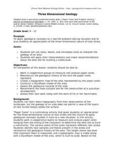
Here is a fine lesson plan on geology designed for high schoolers. Learners use rocks, fossils, and other geological clues to determine the geology of an area. Then, they make recommendations to a fictitious city council about the...
Curated OER
Mapping the Past
Middle schoolers study historical maps to view how the world evolved from medieval times through the Renaissance. They work in groups to examine the maps and present a report on one of the listed maps.
Curated OER
Mapping Mount St. Helens
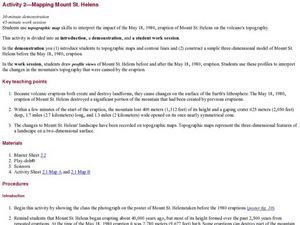
Learners study topographic maps and contour lines and construct a simple three-dimensional model of Mount St. Helens before the May 18, 1980, eruption. They use topographic map skills to interpret the impact of the May 18, 1980, eruption...
Curated OER
Geo-Class Mapping My Neighborhood
Students create a map of the school and surrounding neighborhood. In this mapping lesson, students discover their school's location and learn about its past. Students use math skills and the steps in the design process to complete the...
NASA
Cloudy vs. Clear - Maps
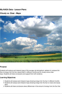
Find out the science of how clouds keep Earth cooler on hot days. Using guided discussions, investigators analyze and interpret maps of how much solar energy Earth receives at different times of the year. Participants draw conclusions...
Curated OER
Way to Go! Create a Road Map Game
Young scholars create a travel game of one of the United States. They research a state of their choice and create a travel game using a common road map. They interpret map symbols as they calculate map mileage for their games. They...
Centers for Ocean Sciences
Ocean and Great Lakes Literacy: Principle 1
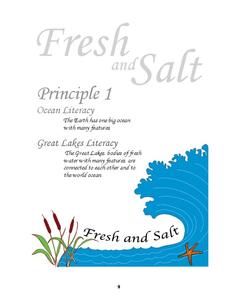
Is your current lesson plan for salt and freshwater literacy leaving you high and dry? If so, dive into part one of a seven-part series that explores the physical features of Earth's salt and freshwater sources. Junior hydrologists...
National Park Service
Remembering Pearl Harbor: The USS Arizona Memorial
Young historians use primary source materials to investigate the 1941 attack on Pearl Harbor and the sinking of the USS Arizona. After reading background articles and studying maps and images of the attack, class members consider whether...
Curated OER
Mapping the Census
Students learn why the census makes a difference. For this U.S. Census lesson plan, students learn the key elements of cartography, examine the difference between data and their representation, and create a map using census data.
Other popular searches
- Map Skills Lesson Plans
- Map Skills Worksheets
- Elementary Map Skills
- Geography Map Skills
- Basic Map Skills
- Social Studies Map Skills
- Globe and Map Skills
- Beginning Map Skills
- United States Map Skills
- Map Skills, Continents
- Early Explorers Map Skills
- Free Map Skills Worksheets


