BBC
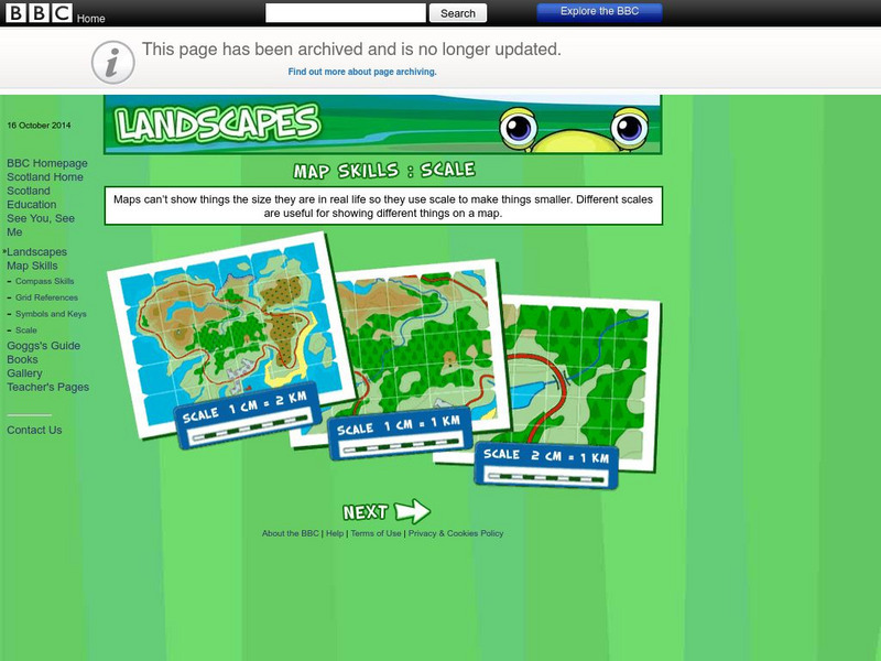
Bbc: Landscapes: Scotland: Map Skills: Scale
Lesson for elementary students on map skills uses a map of Scotland to teach about the concept of scale.
BBC
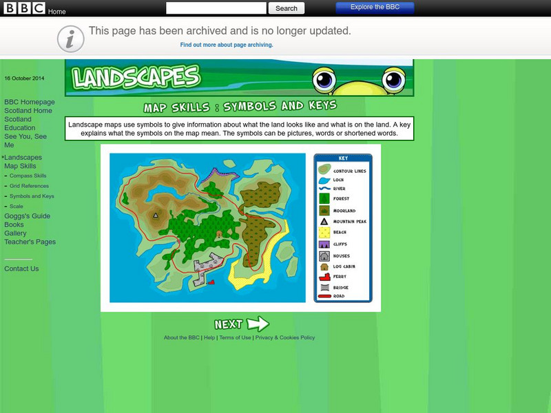
Bbc: Landscapes: Map Skills: Symbols and Keys
A guide for young learners to understand reading maps and their keys.
BBC
Bbc: Landscapes: Map Skills: Grid References
Young map readers will learn the idea of referring to the grid numbers to help find locations or to describe locations on a map.
PBS
Pbs Learning Media: Earth's Systems: Map It
Explore different types of maps and how different things are represented on maps in this media gallery from WGBH. Maps are used to help locate different places and different things. Map symbols are representations of larger things in the...
University of Georgia
University of Georgia: Hargrett Library Rare Map Collection: American Civil War
This collection of rare Civil War maps enhance the study and learning of the Civil War. They provide a wealth of insight into the war and helps to better understand the events that occurred. A great resource for teachers and an exciting...
Other
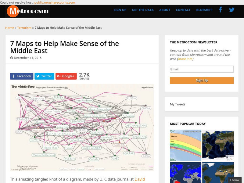
Metrocosm: 7 Maps to Help Make Sense of the Middle East
Keep up to date with the everchanging Middle East Region. The Middle East has been a tangled web of alliances since WWI. These maps attempt to make sense out of the this often confusing area. The 7 maps show the relationships among...
Other
Fdlrs: Thinking Maps: Examples From Brevard Public Schools
See examples of the use of the eight graphic organizers from Thinking Maps. These maps help students organize their learning and identify ways to reflect different kinds of text. The several examples from each grade K-6 show how to use...
Other
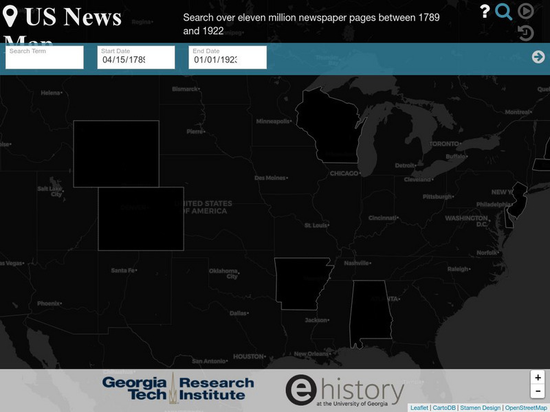
Georgia Tech Research Institute: Chronicling America: Us News Map
A fascinating way to look at history, this interactive map lets you search for a person, event, issue, etc. over a specified time frame and it maps newspapers containing related content onto a map of the United States. An additional...
University of Texas at Austin
Ut Library Online: Historical Maps of the United States
This extensive collection of Historical United States maps from the University of Texas Library Online cover early inhabitants, exploration and settlement, territorial growth, military history, and later historical maps. These maps are...
Other
Map Town: Maps for Central America
Here are all seven Central American countries plus Mexico at a glance. Study a map or just general information about one of the countries.
ReadWriteThink
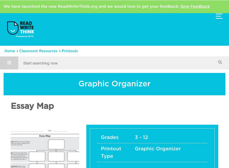
Read Write Think: Essay Map
A fillable essay map in PDF format with boxes for an introduction, main ideas, supporting details, and a conclusion. Directions on how to use this type of graphic organizer as well as lists of teaching ideas and related resources are...
Other
Theundocumented.com: The Map of the Undocumented
In an effort to honor every life that has been lost on our borders, Coalicion de Derechos Humanos records the number of bodies that are recovered in the Sonoran Desert. View the map to read the names of those that died since 2000. Click...
University of California
Us Geological Survey: Cartogram Central
The USGS offers detailed information on Types of Cartograms, Congressional Districts, Software for Cartograms, Publications, and a Carto-Gallery.
ReadWriteThink
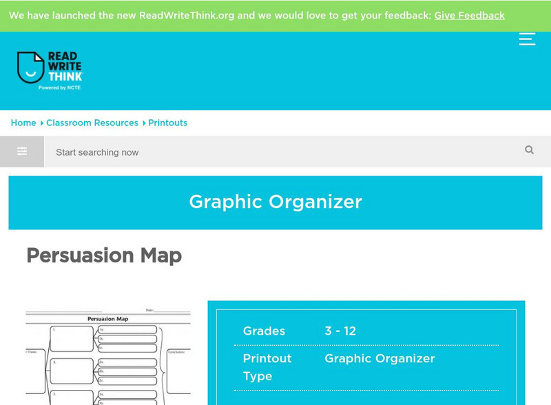
Read Write Think: Persuasion Map
A printable graphic organizer for students to use when writing on opinion or persuasive essay. Directions on how to use this type of graphic organizer as well as lists of teaching ideas, lesson plans, and other resources are also...
Curated OER
Educational Technology Clearinghouse: Maps Etc: United States, 1888
A map from 1888 of the United States showing state boundaries and state capitals, major cities and towns, mountain systems, lakes, rivers, and coastal features. Longitude from Greenwich is shown at the top of the map, and from Washington...
Curated OER
Educational Technology Clearinghouse: Maps Etc: Drawing the United States, 1872
A map skills exercise from 1872 showing the drawing of the United States with proportional measurements. The map shows state and territory boundaries at the time (Dakota, Montana, Washington, Idaho, Wyoming, Utah, Oklahoma, New Mexico,...
Yale University
Yale: Photogrammar: Map
From 1935-1944, the Farm Security Administration - Office of War Information undertook the largest photography project ever sponsored by the federal government. Photogrammar is a web-based platform for organizing, searching, and...
Daily Teaching Tools
Daily Teaching Tools: More Free Graphic Organizers for Studying and Analyzing
A teaching resource with free downloadable graphic organizers including Time Organizers, Learning Maps, Project Internet, Concepts and Characteristics, Vocabulary Charts, Project Author Study, Decisions and Goals, and more.
Daily Teaching Tools
Daily Teaching Tools: Time Organizers
This Daily Teaching Tools resource provides a series of five graphic organizers that help with organizing time.
Curated OER
Etc: Maps Etc: Density of Population in the u.s., 1901
A map from 1901 of the United States showing the population distribution at the time. The map is keyed to show areas of population densities ranging from sparse to very dense. This map is part of a classroom map study illustrating how,...
Curated OER
Educational Technology Clearinghouse: Maps Etc: North America, 1899
A study map from 1899 using North America to illustrate various geographic terms commonly found on maps. The map shows examples of continent, river valley, peninsula, strait, bay, political boundary, lakes, island, ocean, cape, sound,...
Curated OER
Etc: Maps Etc: Distribution of Native Americans, 1500
A map from 1906 of North America central Canada to northern Mexico showing the distribution and territories of the Native Americans around 1500. The boundaries are based on linguistic stock and not tribal territories. "Anthropologists of...
Other popular searches
- Map Skills Lesson Plans
- Map Skills Worksheets
- Elementary Map Skills
- Geography Map Skills
- Basic Map Skills
- Social Studies Map Skills
- Globe and Map Skills
- Beginning Map Skills
- United States Map Skills
- Map Skills, Continents
- Early Explorers Map Skills
- Free Map Skills Worksheets
