Annenberg Foundation
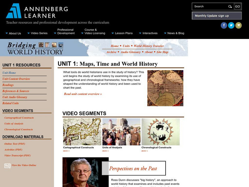
Annenberg Learner: Bridging World History: Maps, Time, and World History
Learn how map projections and chronological constructs are used in the study of world history and help us to understand and interpret the past. Part of a larger site on world history, this unit on maps offers complete reading,...
Stanford University
Sheg: Document Based History: Reading Like a Historian: Mapping the New World
[Free Registration/Login Required] Students read primary source documents to solve a problem surrounding a historical question. This document-based inquiry lesson allows students study two 17th-century maps of Virginia and think...
Louisiana Department of Education
Louisiana Doe: Louisiana Believes: Social Studies: Grade 1: Using Maps
First graders develop and express claims through discussions and writing in which they explore and create maps using map keys, and map symbols. Students engage with the sources to build their map skills.
Smithsonian Institution
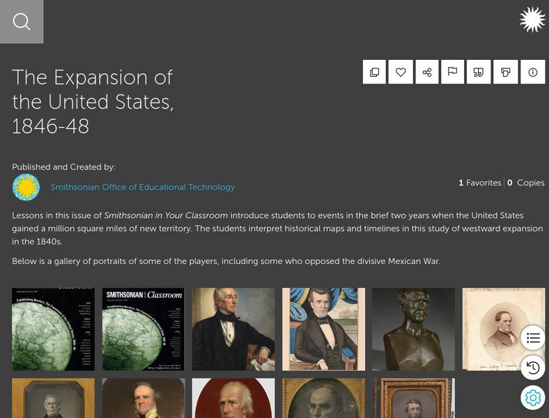
Smithsonian Learning Lab: The Expansion of the United States, 1846 48
This online lesson plan shows young scholars through primary sources how the borders of the U.S. changed in just a few years. They are asked to analyze maps and use map skills. All maps and worksheets are included as well as additional...
Science Education Resource Center at Carleton College
Serc: Mapping Your World
This activity serves as an introduction to mapping skills and the classroom. Students will create a map of the classroom, analyze and determine qualities that make a clear, concise map, then create a database of qualities they will use...
PBS
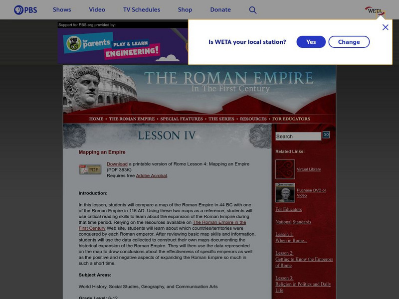
Pbs: The Roman Empire of the 1st Century: Mapping an Empire
In this lesson, students will compare a map of the Roman Empire in 44 BC with one of the Roman Empire in 116 AD. Using these two maps as a reference, students will use critical reading skills to learn about the expansion of the Roman...
US Mint
United States Mint: In Mr. Lincoln's Shoes [Pdf]
Using the study of President Abraham Lincoln as a guide, students demonstrate basic map skills including cardinal directions and how to use a compass rose.
Discovery Education
Discovery Education: Weather Maps
This site provides a lesson plan in which groups of students will each investigate a different type of weather map use for weather forecasting. Also includes discussion questions, extension ideas, and links to additional sites for more...
National Association of Geoscience Teachers
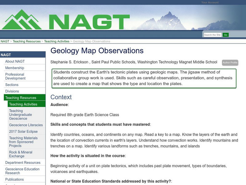
Nagt: Geology Map Observations
In jigsaw groups, students construct the Earth's tectonic plates using geologic maps. Skills such as careful observation, presentation, and synthesis are used to create a map that shows the type and location the plates.
Library of Virginia
Virginia Memory: Historical Maps With a Modern Use
How can we use historical maps to strengthen our mental maps of the modern world?
Science Education Resource Center at Carleton College
Serc: State Map Poster
This is a project where students pick a state, study its landforms and data about its geology, and produce a poster that outlines how the state's geography evolved over time. An example of such a poster is provided on a downloadable...
US Mint
U.s. Mint: Let's Build a Map [Pdf]
In this four-part lesson, students study the map of the Louisiana Purchase and the trail of Lewis and Clark's Expedition. Then, build a classroom map displaying the events of the Westward Expansion.
Alabama Learning Exchange
Alex: Treasure Hunt
Get hands-on with students in building a map with a class. Take students outside to a sandbox and work with them to build a map of campus. Once the map is drawn you can turn their design into a treasure hunt to assess map interpretation.
Alabama Learning Exchange
Alex: Capture the Flag
This instructional activity requires students to read maps in order to play the game capture the flag.
Curated OER
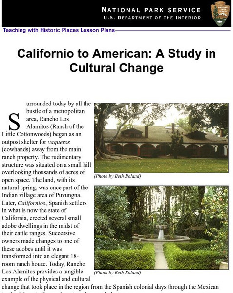
National Park Service: Californio to American: A Study in Cultural Change
This site has a lesson about the ranching industry, creation of California towns and the changes over time. Contains information, inquiry question, historical context, maps, readings, and images.
Other
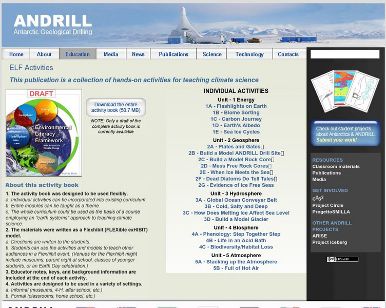
Antarctic Geological Drilling: Environmental Literacy Framework Activities
An impressive collection of lessons on climate science and climate change. The entire book can be downloaded. As well, each lesson has its own page with some combination of background information, PowerPoints, images, maps, glossaries,...
Utah Education Network
Uen: Second Grade Writing Lesson #1/ Narrative Prompt
This lesson engages students in working with narrative reading and writing. Students will listen to different stories and fill out story maps for them. Then students will plan a personal narrative about a "surprise" on a graphic...
Other
Pbs Teachers: A Place of Our Own: Habitat Map
This three-dimensional map activity helps children share about themselves and talk about who they are and where they come from. Good basis for learning about maps, similarities and differences, respect and acceptance of diversity and...
Annenberg Foundation
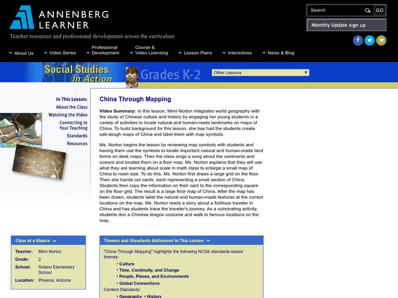
Annenberg Learner: China Through Mapping
In this lesson, Mimi Norton integrates world geography with the study of Chinese culture and history by engaging her young students in a variety of activities to locate natural and human-made landmarks on maps of China. To build...
Alabama Learning Exchange
Alex: A Water Dilemma Mapping Dragonfly Pond
This is a hands-on, technology rich lesson involving wetlands and the effects humans and human development have on these precious ecosystems. This is a follow-up lesson to a wetlands introduction and discussion.
ReadWriteThink
Read Write Think: Internalization of Vocabulary Through the Use of a Word Map
Young scholars practice with words and develop both denotative and contextual knowledge through two agents-purposeful sequencing of steps and collaboration with peers.
Other
Common Core: Curriculum Maps: Tell a Story, 1 2 3 [Pdf]
In this second six-week unit of Kindergarten, students focus on sequence as they enjoy "Counting Books," both fiction and informational, and stories based on "three."
TeachEngineering
Teach Engineering: What Is Gis?
Geographic information systems (GIS) are important technology that allows rapid study and use of spatial information. GIS have become increasingly prevalent in industry and the consumer/internet world in the last 20 years. Historically,...
PBS
Pbs Learning Media: 50 States Part 2 Lesson Plan
In this lesson, learners combine psychomotor skills and geography as they travel from Montana to Wyoming. As students travel from state to state, they learn regional facts and state capitals. Learners perform physical tasks highlighting...
Other popular searches
- Map Skills Lesson Plans
- Map Skills Worksheets
- Elementary Map Skills
- Geography Map Skills
- Basic Map Skills
- Social Studies Map Skills
- Globe and Map Skills
- Beginning Map Skills
- United States Map Skills
- Map Skills, Continents
- Early Explorers Map Skills
- Free Map Skills Worksheets






![U.s. Mint: Let's Build a Map [Pdf] Lesson Plan U.s. Mint: Let's Build a Map [Pdf] Lesson Plan](https://content.lessonplanet.com/knovation/original/249029-024660939f27fa1ea8589c5fba13f0e6.jpg?1661243095)


