Enchanted Learning
Enchanted Learning: Washington
This site has a colorful display of information about Washington. It contains a map, pictures, a list of state symbols, and links to related information.
Enchanted Learning
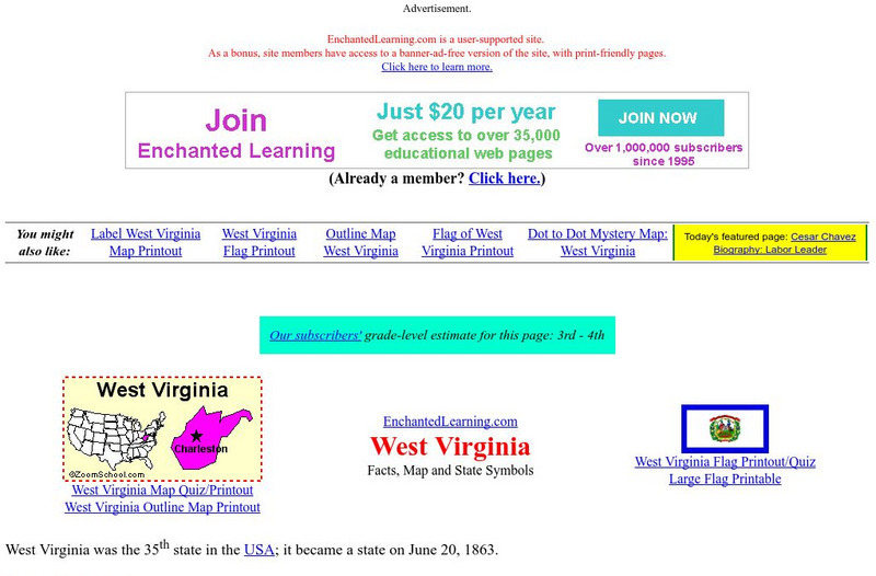
Enchanted Learning: West Virginia
Learn about West Virginia with a colorful map, pictures, and a list of state symbols and links to related information.
Enchanted Learning
Enchanted Learning: Wisconsin
A colorful survey of Wisconsin features a map, pictures, a list of state symbols, and links to related information.
Enchanted Learning
Enchanted Learning: Wyoming
A colorful display of information about Wyoming. Contains a map, pictures, a state symbols list, and links to related information.
Other
Office of the Prime Minister: Colouring Book
Colour six pictures of Canadian Symbols. Download the pictures and colour them with crayons or coloured pencils.
Enchanted Learning
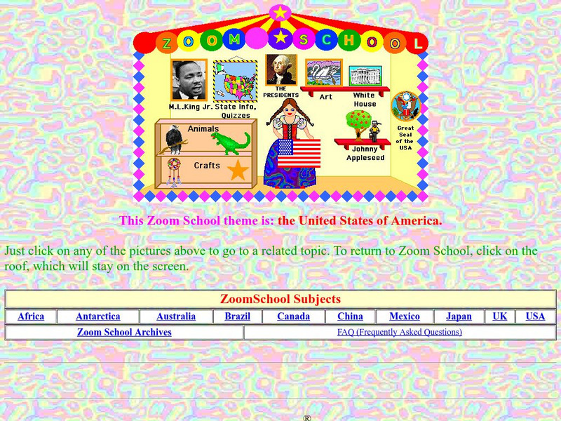
Enchanted Learning: Zoom School: United States of America
Use this resource to explore each state to get facts, maps and symbols; learn about the presidents; read about bald eagles and dinosaur fossils found in the U.S., find fun and exciting patriotic crafts and more.
Other
Instituto Costarricense De Turismo: Essential Costa Rica
This is the official website of Costa Rica. Features a comprehensive guide to visiting Costa Rica. Gather information on geography, climate, history, people, government, national symbols, economy, culture, and politics. Click on the...
Enchanted Learning
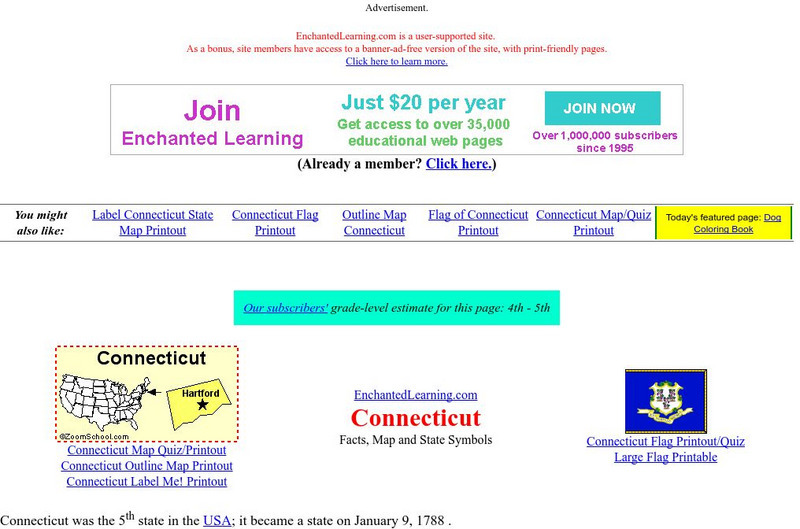
Enchanted Learning: Connecticut
This site has a colorful display of information about Connecticut. It contains a map, pictures, and a list of state symbols for Connecticut.
Enchanted Learning
Enchanted Learning: Delaware
This fact sheet for the state of Delaware--the First State--features a map, pictures, a list of state symbols, and links to related information.
Enchanted Learning
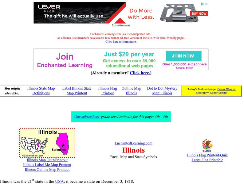
Enchanted Learning: Illinois
This site has a colorful display of information about Illinois. It contains a map, pictures, a list of state symbols, and links to related information.
Adventure Learning Foundation
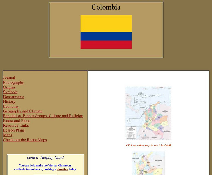
Adventure Learning Foundation: Colombia
Comprehensive reference tool with an abundance of country specific information about the South American country of Colombia. Content covered includes photos, symbols, history, economy, geography, climate, population, culture, maps, and...
Adventure Learning Foundation
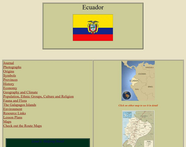
Adventure Learning Foundation: Ecuador
Comprehensive reference tool with an abundance of country specific information about the South American country of Ecuador. Content covered includes photos, symbols, provinces, history, economy, geography, climate, population, culture,...
Adventure Learning Foundation
Adventure Learning Foundation: Venezuela
Comprehensive reference tool with an abundance of country specific information about the South American country of Venezuela. Content covered includes photos, symbols, history, economy, geography, climate, population, culture, maps, and...
Enchanted Learning
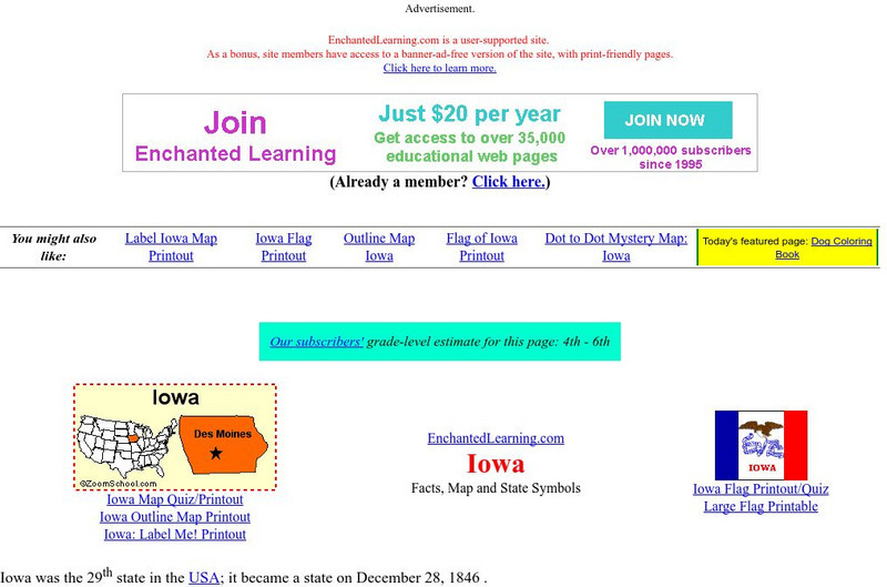
Enchanted Learning: Iowa
This site has a colorful display of information about Iowa. It contains a map, pictures, a list of state symbols, and links to related information.
Enchanted Learning
Enchanted Learning: Colorado
This fact sheet about Colorado also comes with a map, pictures, a list of state symbols, and links to related information.
New York Times
New York Times: The Roanoke Island Colony: Lost, and Found?
[Free Registration/Login Required] The mystery of what happened to the Lost Colony of Roanoke has gripped imaginations for centuries. Now archaeology may be able to provide answers before long. This article describes the history of the...
Other
Yahoo Kids World Factbook: Germany
A resource about Germany. Learn about the country's geography, population, economy, government, military, foreign relations. View statistical facts, a country map, and the national flag.
Enchanted Learning
Enchanted Learning: Kentucky
This site is an organized list of information about the state of Kentucky. The list includes things like the state's nickname, major rivers, symbols, flag, and lots more.
World Atlas
World Atlas: China
Provides an overview of China with emphasis on history. Click on any of the tabs above the maps to learn about its geography, flags. symbols, and more.
Curated OER
Educational Technology Clearinghouse: Maps Etc: Manufacturing Areas, 1900
A map from 1907 of the United States showing the principal manufacturing areas in 1900. The star symbol in Ohio represents the mean center of manufacturing in the nation. Each symbol represents gross $25,000,000 or fraction more than...
Curated OER
Educational Technology Clearinghouse: Maps Etc: Manufacturing Areas , 1900
A map from 1920 of the United States showing the principal manufacturing areas in 1900. The star symbol in Ohio represents the mean center of manufacturing in the nation. Each symbol represents gross $25,000,000 or fraction more than...
Curated OER
Etc: Maps Etc: Physical, Political, and Economic Asia, 1872
A map of Asia from 1872, showing physical features including mountain systems, deserts, lakes, rivers with direction of flow, coastal features, and ocean currents, political boundaries and foreign possessions at the time, and commercial...
Curated OER
Etc: Maps Etc: The Dominion of Canada and Newfoundland, 1902
A map from 1902 of the Dominion of Canada, showing provinces, province capitals and major cities, railroads, canals, mountain systems, lakes, rivers, and coastal features. Symbols on the map indicate the head of navigable rivers (anchor...
Curated OER
Educational Technology Clearinghouse: Maps Etc: Scotland, 1885
A map of Scotland from 1885, showing major cities, towns, railroads, rivers, lakes, terrain, and coastal features. An inset map shows the Orkney and Shetland islands. Mountain elevations are shown in feet, and the ferry distances to...
Other popular searches
- Weather Map Symbols
- Weather Map Weather Symbols
- Topographic Map Symbols
- Map Symbols First Grade
- Teaching Map Symbols
- Geography Map Symbols
- Os Map Symbols
- Map Symbols and Neighborhood
- Location/ Map Symbols
- Wetaher Map Symbols
- Reading Weather Map Symbols
- Weather Map Symbols Exercise

