Curated OER
Etc: Maps Etc: West Indies and Central America, 1872
A map from 1872 of the West Indies and Central America. The map shows political boundaries at the time, capitals, major cities, and ports, railroads, main steamship routes, rivers, terrain and coastal features, and banks. The map shows...
Curated OER
Etc: Maps Etc: Commercial Map of the United States, 1872
A commercial map from 1872 of the United States showing the principal railroad and steamship routes in the region at the time. The map shows state boundaries and capitals, major cities and ports, submarine telegraph cables to Europe,...
Curated OER
Educational Technology Clearinghouse: Maps Etc: Rhode Island, 1872
A map from 1872 of Rhode Island, with map inserts of Providence, Newport, and Block Island. The map shows counties and county seats, principal cities, ports, and towns, railroads, terrain and coastal features, and rivers. Clock symbols...
Curated OER
Educational Technology Clearinghouse: Maps Etc: Maine, 1872
A map from 1872 of Maine showing the State capital of Augusta, counties and county seats, major cities, towns and ports, railroads, mountains, lakes, rivers, and coastal features. An inset map details the vicinity of Portland. Clock...
Curated OER
Etc: Maps Etc: Central America and West Indies, 1870
A map from 1870 of Central America and the West Indies, including the Bahamas, Greater Antilles, and Lesser Antilles. The map shows the political boundaries and British possessions (shaded pink) at the time, capitals and major cities,...
Curated OER
Educational Technology Clearinghouse: Maps Etc: Railroads in United States, 1910
A map from 1910 of the United States showing the railway network and connecting steamship lines. This map distinguishes the transcontinental railroads and secondary lines, and shows the standardized time zones used in 1910. The clock...
Curated OER
Etc: Maps Etc: Standard Time in the United States, 1910
A map from 1910 of the United States showing the time zones as they were then established. Clock-symbols at the bottom of the map show the comparative times when it is noon in London. "Formerly every city used its own sun time, or local...
Curated OER
Educational Technology Clearinghouse: Maps Etc: Mexico, 1920
A map from 1920 of Mexico showing major cities and ports, railroads with connections to the railroad network in the United States, shipping routes from New Orleans and San Francisco with distances given in nautical miles, rivers with...
American Geosciences Institute
American Geosciences Institute: Climate and Weather
Eight hands-on lessons module in which students explore climate and weather. Inquiry-based investigations include observing weather, weather reporting, weather maps, weather satellites, causes of weather, and climate change.
Curated OER
Map of Colorado
Use this online resource for information on Colorado. Includes map and state flag, motto, state symbols, origin of name, government officials, brief history of the state, and links to famous people of the state.
Curated OER
Map of Florida
Good resource for information on Florida. Includes map and state flag, motto, state symbols, origin of name, governmental officials, brief history of the state, and links to famous people of the state.
Curated OER
Ecuador map.jpg (42166 Bytes)
Comprehensive reference tool with an abundance of country specific information about the South American country of Ecuador. Content covered includes photos, symbols, provinces, history, economy, geography, climate, population, culture,...
Curated OER
Ecuador Map .Gif (35419 Bytes)
Comprehensive reference tool with an abundance of country specific information about the South American country of Ecuador. Content covered includes photos, symbols, provinces, history, economy, geography, climate, population, culture,...
New York Times
New York Times: Crossword Puzzle: Weather
The New York Times Learning Network has developed interactive and printable crossword puzzles. The theme of this one is weather.
Adventure Learning Foundation
Adventure Learning Foundation: Brazil
Useful guide with an abundance of country specific information about the South American country of Brazil. Content covered includes photos, symbols, history, economy, geography, climate, population, culture, maps, and lesson plans.
Enchanted Learning
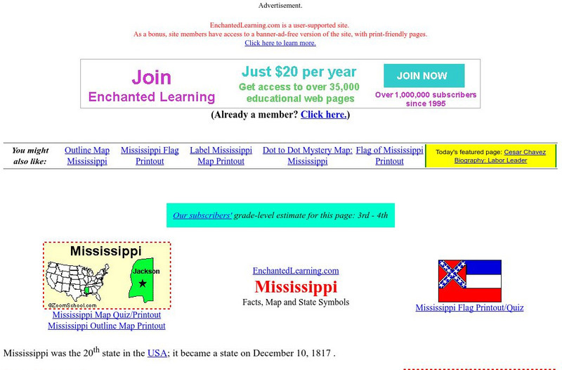
Enchanted Learning: Mississippi
This site has a colorful display of information about Mississippi. It contains a map, pictures, a list of state symbols, and links to related information.
Enchanted Learning
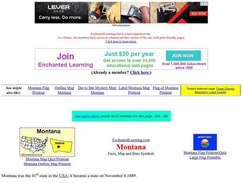
Enchanted Learning: Montana
This site from Enchanted Learning provides a colorful display of information about Montana. It contains a map, pictures, a list of state symbols, and links to related information.
ArtsNow
Arts Now Learning: Adventure Island [Pdf]
In this lesson, students will study examples of treasure maps and make a list of features and symbols. They will use their imaginations to create their own treasure maps and compose narratives to describe them.
World Atlas
World Atlas: Australia/oceania
Features a description of Oceania that although the smallest continent includes Australia, New Zealand, Papua New Guinea, and Micronesia. Click on any tab about the map to learn much information about its geography, symbols, natives, and...
Other
Organization of American States Children's Page: Venezuela
Full of useful information relating to the country of Venezuela. Topics covered include: population, language, geography, government, photos, national symbols, national heroes, and folklore.
World Atlas
World Atlas: Europe
A comprehensive guide to Europe including a variety of maps, statistics, facts, and information on history, geography, flags, symbols, travel, and much more.
World Atlas
World Atlas: United States of America
A comprehensive guide to the United States of America including a variety of maps, statistics, facts, and information on history, geography, flags, symbols, travel, and much more.
50 States
50 States: States and Capitals
This guide to the 50 U.S. states provides maps, pictures of state symbols, statistical information, and links to many other related sights. Test your knowledge with one of the quizzes or search for one of the fun facts.
Curated OER
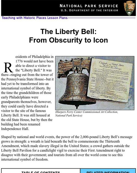
National Park Service: Teaching With Historic Places: The Liberty Bell
Teaching with Historic Places, in collaboration with the National Park Service, provides an extensive lesson plan on The Liberty Bell. Content is laid out with objectives, reading materials, corresponding maps and photographs, learning...
Other popular searches
- Weather Map Symbols
- Weather Map Weather Symbols
- Topographic Map Symbols
- Map Symbols First Grade
- Teaching Map Symbols
- Geography Map Symbols
- Os Map Symbols
- Map Symbols and Neighborhood
- Location/ Map Symbols
- Wetaher Map Symbols
- Reading Weather Map Symbols
- Weather Map Symbols Exercise

