Hi, what do you want to do?
Curated OER
Wappo Indians of Napa County
Third graders describe the American Indian nation in their local region long ago and in the recent past in terms of national identities, religious beliefs, customs, and various folklore traditions. They synthesize their findings into a...
Curated OER
What's Cookin' at Honey Creek?
Fourth graders are introduced to the process of prehistoric hot rock cooking in earth ovens on the Edwards Plateau of Texas. They explain the steps used in the hot rock cooking process.
Curated OER
Great North
Students use maps to locate the Arctic Circle, the North Pole and Northern Europe. They draw and label countries within the Arctic Cirlce and identify the groups of people who live there. They also watch and answer questions about the...
Curated OER
Whose Business?
Fourth graders compare and contrast the businesses in Fort Griffin with those in their own community. Using the internet, they discover the factors that have influenced the development of businesses in a town. They also create a map of...
Curated OER
A Picture Is Worth A Thousand Words
Students complete a population pyramid for a city they are studying. They may complete a population pyramid for their city and another one for the country in which the city is located. They compare and contrast the results of the two...
Curated OER
Geography And Chinese Landscape Painting
Fourth graders label the physical features of China on a map and become familiar with
the content of traditional Chinese landscape paintings in this instructional activity intended for the forth grade classroom.
Curated OER
4th Grade Geography Multiple Choice
In this grade 4 geography worksheet, 4th graders complete a total of 25 multiple choice questions relating to 4th grade geography concepts. An answer key is provided.
Curated OER
Postcards from Somewhere
Students correspond with e-pals about their community. In this cross curriculum geography, technology, and literacy lesson, students complete a postcard webquest about their home location including local photographs. Students e-mail...
Curated OER
Animals of China and in Asia
Learners write an animal report. In this research lesson, students use varied reference materials to find information about animals that live in China and Asia. They write a report about an animal and complete extension activities such...
Curated OER
Does Humidity Affect Cloud Formation?
Students use NASA's S'COOL database to identify factors that affect cloud formation.
NOAA
Noaa: Cpc: Regional Climate Maps
Provides large colorful maps of climate data about each continent for the current week, month, or previous quarter.
Other
Government of Alberta: Agroclimatic Atlas of Alberta: Climate of Alberta
Describes the climate of Alberta and how it is different in different regions of the province. Provides a map that illustrates this concept. Includes links to other articles on Alberta's weather and climate.
Other
Paleomap: Climate History
Have you wondered what the Earth's climate was like millions of years ago? Click on a period to view a map and explanation of ancient Earth's climate.
Other
Mcdwn: Climate
Wonderful site! Learn about climates and gather helpful information. When you are done, take the climates quiz to show what you have learned.
Columbia University
Nasa: Sedac: Population, Landscape, and Climate Estimates
[Free Registration/Login Required] A huge resource for researchers without GIS capabilities who need data on population and land area by country across a range of physical characteristics. These include measures such as the number of...
Curated OER
Educational Technology Clearinghouse: Maps Etc: Climatic Regions of Mexico, 1899
A map from 1899 of Mexico showing the general climate divisions of the region, including areas of warm climate, temperate climate, and cold climate. "The Tropic of Cancer crosses Mexico near the center. The low, hot, and moist coast...
CK-12 Foundation
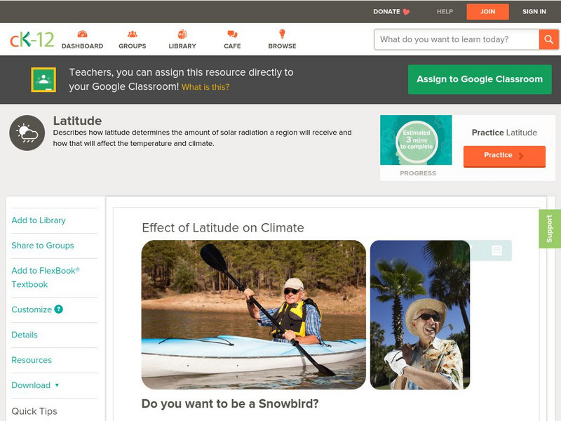
Ck 12: Earth Science: Effect of Latitude on Climate
[Free Registration/Login may be required to access all resource tools.] How latitude affects the climate of a region.
CK-12 Foundation
Ck 12: Earth Science: Effect of Latitude on Climate
[Free Registration/Login may be required to access all resource tools.] How latitude affects the climate of a region.
Other
Earth Journalism Network: Climate Commons
A unique interactive tool that embeds news articles and information about climate change into a map of the United States. Users are able to explore what the impact of climate change at a local, regional or national level, as well as...
National Weather Service
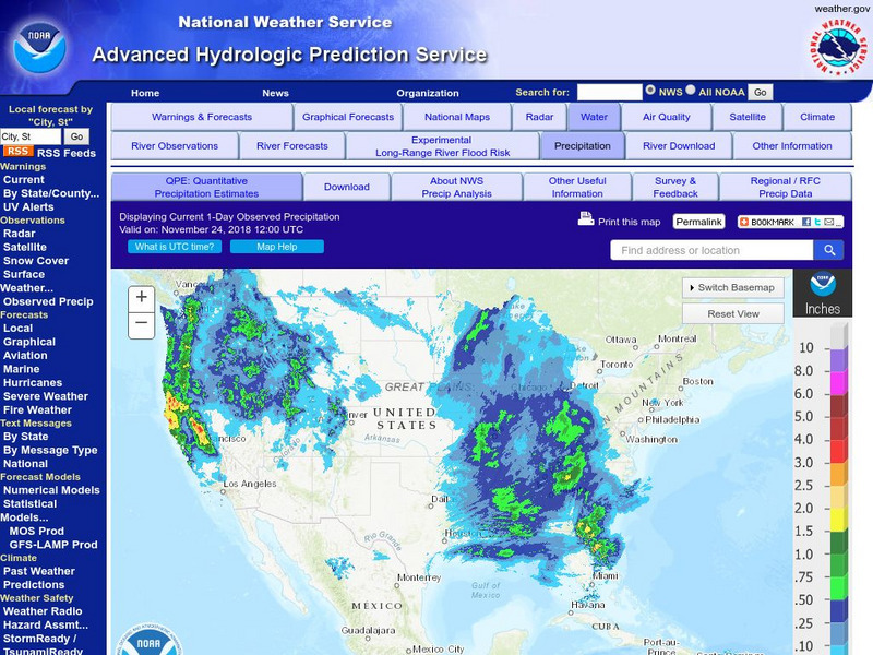
National Weather Service:climate Prediction Center: Daily Precipitation Analysis
Find real-time daily precipitation analysis for the United States, Mexico, and South America as well as accumulated precipitation maps for the past 30 or 90 days.
Climate Zone
Climate in Mexico
Tables for the different climate regions in Mexico show the average monthly temperature, rainfall and snowfall in this North American country. General geographical information and a map are also included.
PBS
Pbs Learning Media: South America Interactive Map
This interactive map explores the continent and countries of South America. Through political, physical, population, and climate map layers and individual country views, learn about the boundaries that define the continent's 12 sovereign...
University of Minnesota
U Mn: Global Rem: Climate Change, Developing Countries/regions, & Migration
This resource consists of maps and texts about climate change and its impact on migration. The module's goal is to reveal how less developed regions such as Africa suffer disproportionately from climate change and to stimulate critical...
US Environmental Protection Agency
Epa: Ecological Regions of North America
A helpful map of North America which color codes its 15 ecological regions. Click on the different regions for a brief description of the area.


