Hi, what do you want to do?
Climate Literacy
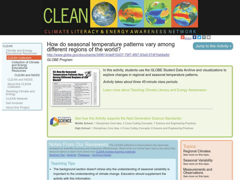
Clean: Seasonal Temperature Pattern Variation in Different Regions of the World
Students use GLOBE climate science visualizations to display student data on maps and to learn about seasonal changes in regional and global temperature patterns.
C3 Teachers
C3 Teachers: Inquiries: Geography
A learning module on world geography. It includes several supporting questions accompanied by formative tasks and source materials, followed by a summative performance task. Students investigate where their community is located, where...
Curated OER
Etc: Maps Etc: Climate and Life Provinces of North America, 1911
A map from 1911 of North America and Central America showing the seven climate zones and three life provinces in the region. The map is color-coded to show the Arctic, Hudsonian, and Canadian climate zones (Boreal Region), Transition,...
Climate Zone
Climate Zone: Climate of Bangladesh
Tables for the different climate regions in Bangladesh show the average temperature, rainfall and snowfall in this Asian country.
Climate Zone
Climate Zone: Climate of Peru
Tables for the different climate regions in Peru show the average temperature, rainfall, and snowfall in this South American country.
Climate Zone
Climate Zone: Climate of Chile
Tables for the different climate regions in Chile show the average temperature, rainfall and snowfall in this South American country.
Climate Zone
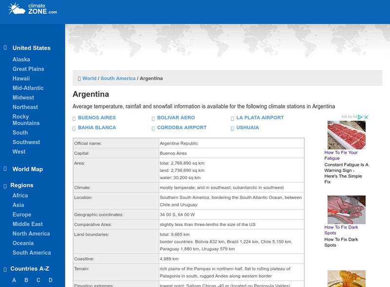
Climate Zone: Climate of Argentina
Tables for the different climate regions in Argentina show the average temperature, rainfall and snowfall in this South American country.
Climate Zone
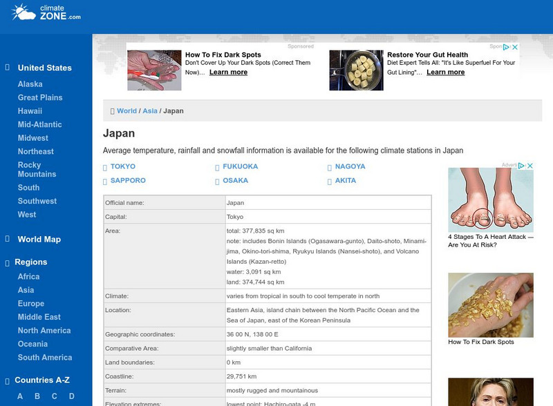
Climate Zone: Climate of Japan
Tables for the different climate regions in Japan show the average temperature, rainfall and snowfall in this Asian country.
Climate Zone
Guatemala Climate
Tables for the different climate regions in Guatemala show the average temperature, rainfall, and snowfall in this Central American country. A map is also featured.
Climate Zone
Climate Zone: Indonesia
Tables for the different climate regions in Indonesia show the average temperature, rainfall and snowfall in this Southeast Asian country. There is also a map and other general information about Indonesia.
Curated OER
Ed Tech Clearinghouse: Koppen Climate Classification of North America, 1911
A map from 1911 of the climate regions of North America using the classification system developed by Wladimir Koppen, based on the concept that native vegetation is the best expression of climate. The major groups are (A)...
NOAA
Noaa: National Weather Service: Regional Climate Maps Former Soviet Union
Find weekly, monthly, and 3-month climate maps for Russia and the Former Soviet Union. Includes total precipitation and minimum and maximum temperature.
NSTATE
Netstate.com: The Geography of Arkansas
Quick facts about the geography of Arkansas including land area, highest and lowest points, elevations, lakes, rivers, regions, and climate.
Nations Online Project
Nations Online
This portal site offers quick access to a wide range of information about each country, continent and region of the world.
Other
University of Wisconsin Marathon County: Koppen's Classification Map
Keeping vegetation in mind, Koppen's Climate Classification Map is the most widely used system of measuring the combination of precipitation and temperature. This map identifies areas and labels them variations of tropical, dry,...
Geographyiq
Geography Iq
Detailed geographical information on any country is available at this site. Within the World Map section, you can get facts and figures about each country's geography, demographics, government, political system, flags, historical and...
Science Buddies
Science Buddies: Dry Spells, Wet Spells: How Common Are They?
Here's a project that looks at what the weather was like for over a hundred years. The goal of the project is to compare long-term precipitation patterns in different regions of the country. You will work with historical climate data,...
BBC
Bbc: Weather: Search
Find information about current weather conditions anywhere in the world by entering the city and country. The site breaks down the information into specific areas and regions, which makes it convenient to search through.
World Facts US
World Facts: Geography of Colombia
Great resource for gathering comprehensive information on the geography of Colombia which is divided into four geographic regions: Andean Highlands, Caribbean Lowlands, Pacific Lowlands, and Eastern Colombia. Also delves into the climate...
World Facts US
World Facts: Geography of Bolivia
Here you can learn much detailed information on the geography of Bolivia. Bolivia is divided into three geographic zones: mountains and Altiplano, Yungas and other valleys, and the lowlands. Also discusses the climate and provides a...
Adventure Learning Foundation
Adventure Learning Foundation: Patagonia Expedition
Take an exciting tour of the Patagonia region in South America in this engaging site. Students discover the history, economy, geography, climate, and people of this region. It includes maps, journal excerpts, photographs, and classroom...
Other
U.s. Antarctic Program
This government site delves into the research of all aspects of the Antarctic region including its ecosystems, its impact on the climate, and aerospace.
Curated OER
Etc: Maps Etc: Mean Average Temperatures in North America, 1906
A map from 1906 of North America showing the mean annual isotherms of the region given in degrees Fahrenheit. "The climate of North America naturally varies greatly, depending on latitude, the general atmospheric circulation or direction...
Curated OER
Etc: Maps Etc: Mexico, Central America, and the West Indies, 1898
A map from 1898 of Mexico, Central America and the West Indies. The map includes an inset map of Cuba and the Isthmus of Nicaragua. "The surface of the Rocky Mountain highland in Mexico is quite similar to that of the great plateau...


