Other
Geoscience Australia: Map Reading Guide: How to Use Topographic Maps [Pdf]
A topographic map can be challenging to read. This guide explains how to decipher one and how to use a magnetic compass to orient yourself to the landscape. It also explains how to use GPS coordinates.
Other
Ordnance Survey: Map Zone: Measuring Distance
Read how to measure distance on maps using straight lines, string, or a ruler in order to strengthen students' mapping skills.
Other
Ordnance Survey: Map Zone: Relief and Contour Lines
Discover how to read and show height on maps using relief and contour lines.
Library of Congress
Loc: Zoom Into Maps
What can we learn from maps? How can we use maps? How can we best read maps? Find out the answers to these with detailed explanations of making the most of maps presented to us. Examples of historical, pictoral, miratory, etc. types of...
Discovery Education
Discovery Education: Weather Maps
This site provides a lesson plan in which groups of students will each investigate a different type of weather map use for weather forecasting. Also includes discussion questions, extension ideas, and links to additional sites for more...
TeachEngineering
Teach Engineering: Where Are the Plastics Near Me? (Mapping the Data)
In a student-led and fairly independent fashion, data collected in the associated field trip activity are organized by student groups to create useful and informative Google Earth maps. Each team creates a map, uses that map to analyze...
City University of New York
Virtual Geology: Maps Home Page: Topic and Quiz Menus
This collection of resources cover map topics and includes quizzes for improving map and globe usage skills.
Annenberg Foundation
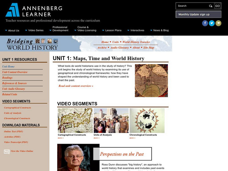
Annenberg Learner: Bridging World History: Maps, Time, and World History
Learn how map projections and chronological constructs are used in the study of world history and help us to understand and interpret the past. Part of a larger site on world history, this unit on maps offers complete reading,...
Other
California State University: Topographic Map Symbols
Click on any of the geographical terms on this website to see examples that illustrate the symbols commonly used on maps. Includes boundaries, building symbols, caves, mines, elevation symbols, coastal features, and more.
Other
Bureau of Meteorology: The Weather Map
Explains what a weather map is and how it is prepared. Describes what weather maps show, typical weather patterns in Australia, the use of weather charts, temperature, and wind speed.
Louisiana Department of Education
Louisiana Doe: Louisiana Believes: Social Studies: Grade 1: Using Maps
First graders develop and express claims through discussions and writing in which they explore and create maps using map keys, and map symbols. Students engage with the sources to build their map skills.
CK-12 Foundation
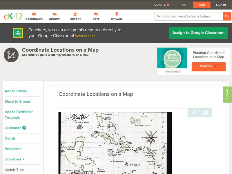
Ck 12: Algebra: Coordinate Locations on a Map
[Free Registration/Login may be required to access all resource tools.] Find points on a map using integer coordinates.
Other
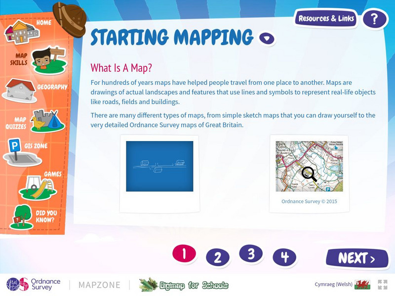
Map Zone: Starting Mapping
Discover the basics of mapping by reading about what maps are, what they provide, how to fold them, and how to use them properly. Content focuses on Great Britain.
Other
Map Zone: Compasses and Directions
Sharpen map skills by exploring these map pages. Learn about the compass rose, different norths, and how to use a compass.
Library of Congress
Loc: Teachers: Local History: Mapping My Spot in History
Through interpreting and investigating historical maps, students gain new perspective not only of their local communities but also of their own homes. Student activities include collecting data about their homes, reporting on the...
University of Texas at Austin
University of Texas: Qatar: 7 Maps and Charts
This is a nice set of maps of Qatar from the Perry-Castandeda Collection which includes a map of the country, population map, map of economic activity, among others.
Library of Congress
Loc: Civil War Maps
The Library of Congress provides a large collection of maps dating back to the Civil War. The collection consists of reconnaissance, sketch, coastal, and theater-of-war maps which depict troop activities and fortifications during the...
Sophia Learning
Sophia: Note Taking: Concept Maps and Flow Charts
This slideshow lesson focuses on note taking using concept maps and flow charts; it provides background information, 6 types of concept maps or flow charts with best uses, uses in the classroom, uses while reading or researching, and how...
Other
Just France: Maps of France
Use these different maps of France to get to know the geography and regions as well as the cities of France. Uses popups.
University of Texas at Austin
Perry Castaneda Library Map Collection
Maps from all over the world can be printed from this site. Find historical maps of the world; thematic maps; and world, continent, country, state, and county maps for your use.
Library of Congress
Loc: The Rochambeau Map Collection
A collection of the maps of North America, dating from 1717 to 1795. They were used by Jean Baptiste Donatien de Vimeur, the Comte de Rochambeau, when he was captain of the French forces during the American Revolution. Includes maps of...
Curated OER
University of Texas: Pakistan: Agriculture and Land Use
See how Pakistan's agricultural land use follows the Indus River Valley. From the Perry-Castaneda Collection, this map shows the use of land for agricultural purposes and the land that is unfit for agriculture.
Curated OER
University of Texas: Bahrain: Land Use
From the Perry-Castaneda Collection, this 1993 map of Bahrain shows the land use that is so dependent on irrigation.
Other
Canada: Thematic Maps
At this site find examples of thematic maps from the Canadian census. "A thematic map shows the spatial distribution of one or more specific data themes for standard geographic areas."
![Geoscience Australia: Map Reading Guide: How to Use Topographic Maps [Pdf] Handout Geoscience Australia: Map Reading Guide: How to Use Topographic Maps [Pdf] Handout](https://d15y2dacu3jp90.cloudfront.net/images/attachment_defaults/resource/large/FPO-knovation.png)


