Hi, what do you want to do?
Other
Geoscience Australia: Map Reading Guide: How to Use Topographic Maps [Pdf]
A topographic map can be challenging to read. This guide explains how to decipher one and how to use a magnetic compass to orient yourself to the landscape. It also explains how to use GPS coordinates.
PBS
Pbs Learning Media: Using a Coordinate Grid
In this Cyberchase video segment, the CyberSquad must locate each other using a map's grid to construct a coordinate system using letters and numbers.
CK-12 Foundation
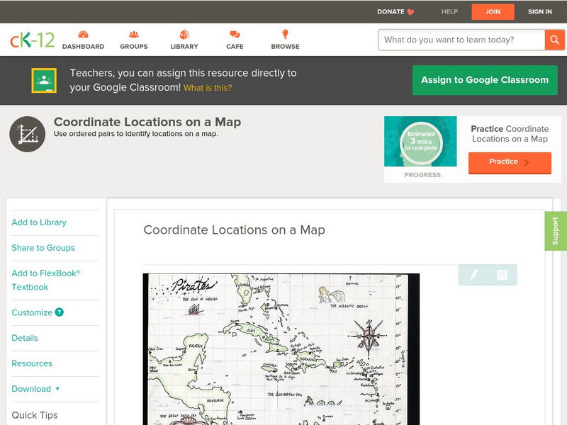
Ck 12: Algebra: Coordinate Locations on a Map
[Free Registration/Login may be required to access all resource tools.] Find points on a map using integer coordinates.
E-learning for Kids
E Learning for Kids: Math: World of Fish: Position on a Map
Students will play an interactive game to interpret simple maps by describing position, plotting points with coordinates, and drawing and following a path.
E-learning for Kids
E Learning for Kids: Math: Bus Station: Position on a Map
Help Jamal read maps, describe directions, and identify coordinates in this series of interactive exercises.
Harvard University
Harvard University: Maps and Mapping
This site is provided for by Harvard University. Students follow a map on a scavenger hunt, create a map of their classroom and their town, learn how to read topographic maps, and discover latitude and longitude in these inquiry activities.
Alabama Learning Exchange
Alex: Coordinate Geometry
Students will participate in several activities that will build their knowledge of coordinates graphing. Students will use ordered pairs to locate points on a grid. Students will also relate coordinate graphing to the real world through...
Alabama Learning Exchange
Alex: Introduction to the Cartesian Coordinate Plane
This lesson consists of two PowerPoint presentations that use animation (motion) to demonstrate how to obtain a 1-1 mapping between a plane and ordered pairs of Real numbers. These can be teacher presented or if you have enough PCs...
Texas Instruments
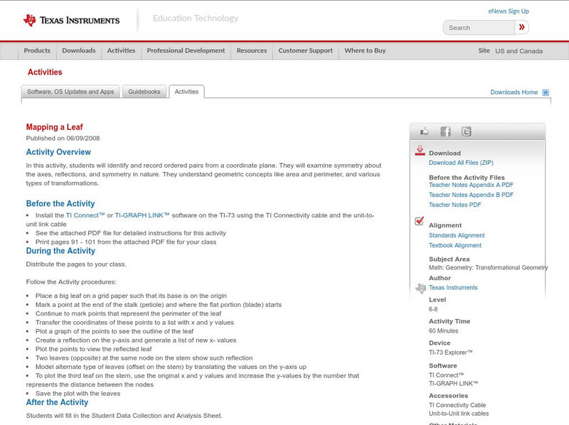
Texas Instruments: Mapping a Leaf
In this activity, students will identify and record ordered pairs from a coordinate plane. They will examine symmetry about the axes, reflections, and symmetry in nature. They understand geometric concepts like area and perimeter, and...
Texas Instruments
Texas Instruments: Navigating the Usa With the Coordinate Plane
The students will be plotting points on the United States Map. This background and activity could be used and/or modified to fit any social studies class. Students could explore topics ranging from graphing coordinates in pre-algebra to...
TeachEngineering
Teach Engineering: Projections and Coordinates: Turning a 3 D Earth Into Flatlands
Projections and coordinates are key advancements in the geographic sciences that allow us to better understand the nature of the Earth and how to describe location. These innovations in describing the Earth are the basis for everything...
Khan Academy
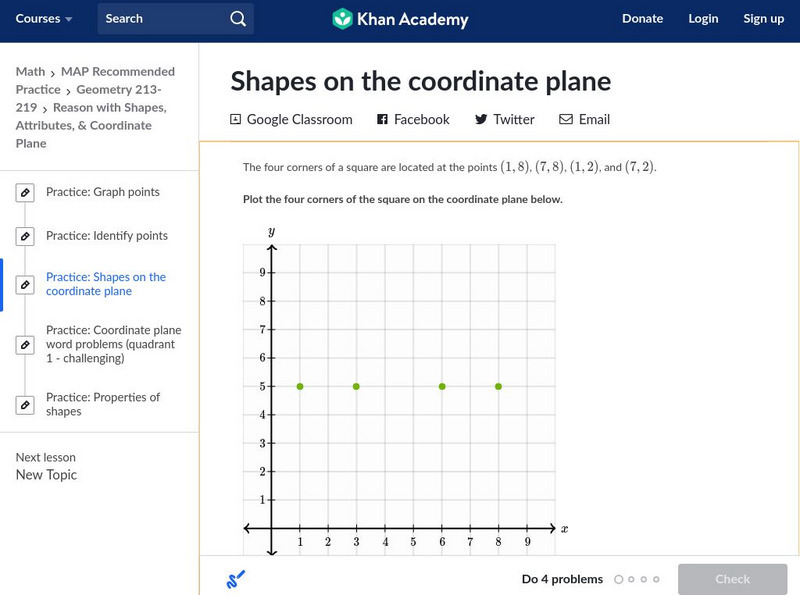
Khan Academy: Shapes on the Coordinate Plane
In this exercise, students practice identifying shapes on the coordinate plane. Students receive immediate feedback and have the opportunity to get hints and try questions repeatedly.
E-learning for Kids
E Learning for Kids: Math: Tea Store: Position on a Map
Help Gina locate items in the tea store using coordinates, a compass, and a ruler in this series of leveled exercises.
US Geological Survey
U.s. Geological Survey: Teaching About and Using Coordinate Systems [Pdf]
Provides lessons and activities for teaching about the different types of coordinate systems including the Cartesian coordinate system, the Geographic Coordinate System, the Universal Transverse Mercator grid, and the State Plane...
E-learning for Kids
E Learning for Kids: Math: Dinosaurs: Angles and Position on a Map
Students will play learning games to practice moving on a coodinate plane.
Texas Instruments
Texas Instruments: Numb3 Rs: Mapping Fireprints
Based off of the hit television show NUMB3RS, this diverse lesson has students perform linear regression analysis (to compare two fire variables), check three-dimensional points using a planar equation, and evaluate points to determine...
Rice University
Rice University: Cynthia Lanius: Mathematics of Cartography: Coordinate System
A coordinate system such as latitude/longitude is an example of absolute location. Links to Greenwich/Prime Meridian.
Rice University
Rice University: Cynthia Lanius: Mathematics of Cartography: What Are Maps?
Defines what maps are and provides illustrations and related links to a site devoted to cartography.
Social Studies for Kids
Social Studies for Kids: Latitude and Longitude
A collection of latitude and longitude mapping activities ranging from pin-pointing exact locations on the globe to researching the history behind this basic geography concept.
Alabama Learning Exchange
Alex: Plotting Points in Alabama
The students will be able to use coordinates to find locations of specific cities on a map of Alabama.
SMART Technologies
Smart: Latitude and Longitude
Try to locate famous landmarks using latitude and longitude coordinates in this interactive classroom activity.
Other
Boat Safe Kids: Longitude and Latitude
This website starts at the very beginning and explains how round globes are transferred to flat maps. Then they explain the use of longitude and latitude.
Rice University
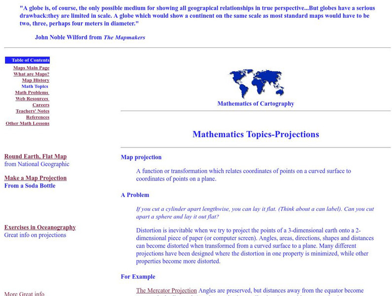
Rice University: Cynthia Lanius: Mathematics of Cartography: Projections
Understanding map projections is an important map-reading skill. Features graphics and links to examples of many different projections and an activity on making a Mercator projection.
Wolfram Research
Wolfram Math World: Map
A brief description of a map. There are also many links about related map topics, included on this MathWorld site.


![Geoscience Australia: Map Reading Guide: How to Use Topographic Maps [Pdf] Handout Geoscience Australia: Map Reading Guide: How to Use Topographic Maps [Pdf] Handout](https://static.lp.lexp.cloud/images/attachment_defaults/resource/large/FPO-knovation.png)
